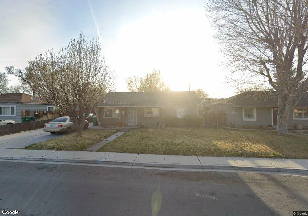
1220 1st St Sparks, NV 89431
McCarran Boulevard-Probasco NeighborhoodEstimated Value: $356,417 - $372,000
3
Beds
1
Bath
950
Sq Ft
$382/Sq Ft
Est. Value
About This Home
This home is located at 1220 1st St, Sparks, NV 89431 and is currently estimated at $362,604, approximately $381 per square foot. 1220 1st St is a home located in Washoe County with nearby schools including Greenbrae Elementary School, George L Dilworth Middle School, and Sparks High School.
Ownership History
Date
Name
Owned For
Owner Type
Purchase Details
Closed on
May 20, 2024
Sold by
Arellano Juan B and Arellano Yolanda Aguilar
Bought by
Garcia Julio C and Arellano Rosabel
Current Estimated Value
Purchase Details
Closed on
Apr 28, 1998
Sold by
Allen Randa Lee and Scholten Gerrit J
Bought by
Arellano Juan B and Arellano Yolanda Aguilar De
Home Financials for this Owner
Home Financials are based on the most recent Mortgage that was taken out on this home.
Original Mortgage
$97,393
Interest Rate
7.06%
Mortgage Type
FHA
Create a Home Valuation Report for This Property
The Home Valuation Report is an in-depth analysis detailing your home's value as well as a comparison with similar homes in the area
Home Values in the Area
Average Home Value in this Area
Purchase History
| Date | Buyer | Sale Price | Title Company |
|---|---|---|---|
| Garcia Julio C | -- | None Listed On Document | |
| Arellano Juan B | $98,000 | First American Title Co |
Source: Public Records
Mortgage History
| Date | Status | Borrower | Loan Amount |
|---|---|---|---|
| Previous Owner | Arellano Juan B | $97,393 |
Source: Public Records
Tax History
| Year | Tax Paid | Tax Assessment Tax Assessment Total Assessment is a certain percentage of the fair market value that is determined by local assessors to be the total taxable value of land and additions on the property. | Land | Improvement |
|---|---|---|---|---|
| 2026 | $627 | $47,569 | $34,090 | $13,479 |
| 2025 | $610 | $46,988 | $33,565 | $13,423 |
| 2024 | $610 | $43,264 | $30,065 | $13,199 |
| 2023 | $594 | $43,549 | $31,325 | $12,224 |
| 2022 | $578 | $36,146 | $26,180 | $9,966 |
| 2021 | $561 | $27,655 | $17,955 | $9,700 |
| 2020 | $543 | $26,456 | $16,940 | $9,516 |
| 2019 | $527 | $25,192 | $15,890 | $9,302 |
| 2018 | $513 | $20,640 | $11,725 | $8,915 |
| 2017 | $498 | $19,206 | $10,395 | $8,811 |
| 2016 | $506 | $18,128 | $9,345 | $8,783 |
| 2015 | $486 | $16,411 | $7,700 | $8,711 |
| 2014 | $477 | $14,660 | $6,440 | $8,220 |
| 2013 | -- | $12,461 | $4,270 | $8,191 |
Source: Public Records
Map
Nearby Homes
- 11 E J St
- 31 E L St
- 314 M St
- 14 E Greenbrae Dr
- 8 E O St
- 316 Prater Way
- 115 P St
- 181 Quail St
- 370 O'Brien Way
- 1940 4th St Unit 20
- 1940 4th St Unit 51
- 1940 4th St Unit 46
- 480 E Mclean Way
- 1945 4th St Unit 22
- 1945 4th St Unit 51
- 343 Richards Way
- 953 7th St
- 28 Arndell Way
- 820 G St
- 483 Beacon Hill Ct Unit 16-D
Your Personal Tour Guide
Ask me questions while you tour the home.