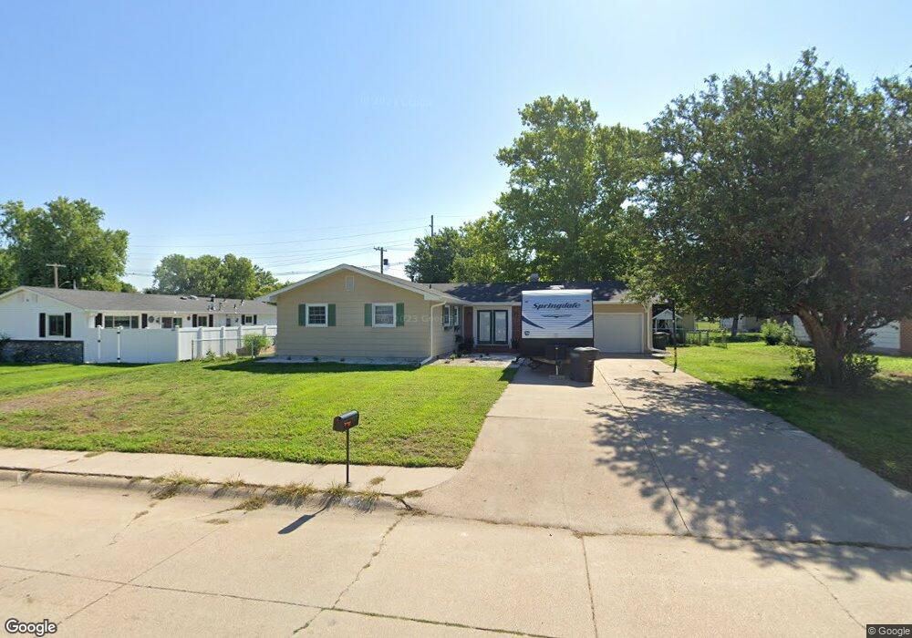
1220 Apache Ave Hastings, NE 68901
Estimated Value: $253,000 - $272,000
4
Beds
2
Baths
1,420
Sq Ft
$187/Sq Ft
Est. Value
About This Home
This home is located at 1220 Apache Ave, Hastings, NE 68901 and is currently estimated at $265,261, approximately $186 per square foot. 1220 Apache Ave is a home located in Adams County with nearby schools including Hastings Senior High School, St. Michael's Preschool & Elementary School, and Zion Lutheran School.
Ownership History
Date
Name
Owned For
Owner Type
Purchase Details
Closed on
Nov 27, 2017
Sold by
Leon Shelly and Diaz Alexander Leon
Bought by
Zeadow Tanner
Current Estimated Value
Home Financials for this Owner
Home Financials are based on the most recent Mortgage that was taken out on this home.
Original Mortgage
$149,600
Outstanding Balance
$125,950
Interest Rate
3.94%
Mortgage Type
New Conventional
Estimated Equity
$139,311
Purchase Details
Closed on
Jun 22, 2009
Sold by
Koopman Douglas A and Koopman Rebecca G
Bought by
Diaz Alexander Leon and Leon Shelly F
Home Financials for this Owner
Home Financials are based on the most recent Mortgage that was taken out on this home.
Original Mortgage
$122,244
Interest Rate
4.83%
Mortgage Type
FHA
Create a Home Valuation Report for This Property
The Home Valuation Report is an in-depth analysis detailing your home's value as well as a comparison with similar homes in the area
Home Values in the Area
Average Home Value in this Area
Purchase History
| Date | Buyer | Sale Price | Title Company |
|---|---|---|---|
| Zeadow Tanner | $187,000 | None Available | |
| Diaz Alexander Leon | $112,500 | -- |
Source: Public Records
Mortgage History
| Date | Status | Borrower | Loan Amount |
|---|---|---|---|
| Open | Zeadow Tanner | $149,600 | |
| Previous Owner | Diaz Alexander Leon | $122,244 |
Source: Public Records
Tax History Compared to Growth
Tax History
| Year | Tax Paid | Tax Assessment Tax Assessment Total Assessment is a certain percentage of the fair market value that is determined by local assessors to be the total taxable value of land and additions on the property. | Land | Improvement |
|---|---|---|---|---|
| 2024 | $3,298 | $205,179 | $29,700 | $175,479 |
| 2023 | $3,862 | $187,180 | $29,700 | $157,480 |
| 2022 | $3,432 | $152,367 | $29,700 | $122,667 |
| 2021 | $3,165 | $144,342 | $29,700 | $114,642 |
| 2020 | $2,995 | $138,883 | $29,700 | $109,183 |
| 2019 | $2,790 | $130,795 | $29,700 | $101,095 |
| 2018 | $2,631 | $122,695 | $21,600 | $101,095 |
| 2017 | $2,587 | $120,715 | $0 | $0 |
| 2016 | $2,450 | $114,230 | $21,600 | $92,630 |
| 2011 | -- | $105,910 | $19,440 | $86,470 |
Source: Public Records
Map
Nearby Homes
- 1513 Crane Ave
- 1505 Crane Ave
- 1225 Heritage Dr
- 1331 Crane Ave
- 1314 N Laird Ave
- 1402 Arapahoe Ave
- 1911 W 11th St
- 2330 W 11th St
- 1201 Pershing Rd
- 1330 Heritage Dr
- 1401 Heritage Dr
- 2501 W 10th St
- 2416 W 9th St
- 2616 Butterfoot Ln
- 1223 Westwood Terrace
- 1814 Boyce St
- 2708 Edgewood Ln
- 736 N Barnes Ave
- 2229 W 8th St
- 711 Crane Ave
- 2021 Indian Acres Dr
- 1219 Crane Ave
- 1227 Crane Ave
- 1211 Crane Ave
- 1227 Apache Ave
- 1204 Apache Ave
- 2104 W 12th St
- 1203 Crane Ave
- 2107 Indian Acres Dr
- 2022 Indian Acres Dr
- 1237 Crane Ave
- 2112 W 12th St
- 2102 Indian Acres Dr
- 2123 Indian Acres Dr
- 1230 Crane Ave
- 1248 Apache Ave
- 1245 Crane Ave
- 2116 Indian Acres Dr
- 2120 W 12th St
- 1221 Sheridan Dr