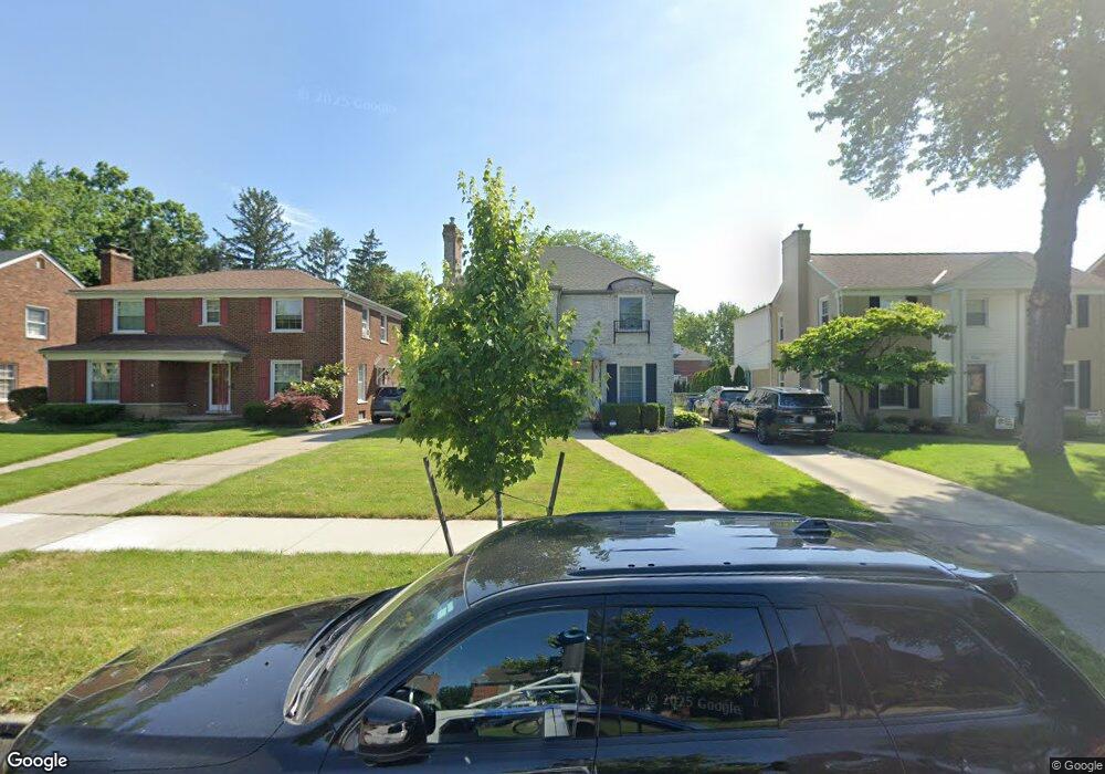
1220 Audubon Rd Grosse Pointe Park, MI 48230
Estimated Value: $531,000 - $571,000
3
Beds
3
Baths
2,050
Sq Ft
$268/Sq Ft
Est. Value
About This Home
This home is located at 1220 Audubon Rd, Grosse Pointe Park, MI 48230 and is currently estimated at $548,800, approximately $267 per square foot. 1220 Audubon Rd is a home located in Wayne County with nearby schools including George Defer Elementary School, Pierce Middle School, and Grosse Pointe South High School.
Ownership History
Date
Name
Owned For
Owner Type
Purchase Details
Closed on
Apr 22, 2010
Sold by
Marr Catherine Anna
Bought by
Spratt Paul A and Spratt Shona M
Current Estimated Value
Create a Home Valuation Report for This Property
The Home Valuation Report is an in-depth analysis detailing your home's value as well as a comparison with similar homes in the area
Home Values in the Area
Average Home Value in this Area
Purchase History
| Date | Buyer | Sale Price | Title Company |
|---|---|---|---|
| Spratt Paul A | $180,000 | Chirco Title Company |
Source: Public Records
Tax History Compared to Growth
Tax History
| Year | Tax Paid | Tax Assessment Tax Assessment Total Assessment is a certain percentage of the fair market value that is determined by local assessors to be the total taxable value of land and additions on the property. | Land | Improvement |
|---|---|---|---|---|
| 2025 | $4,255 | $251,700 | $0 | $0 |
| 2024 | $4,255 | $245,600 | $0 | $0 |
| 2023 | $4,063 | $227,000 | $0 | $0 |
| 2022 | $3,860 | $212,500 | $0 | $0 |
| 2021 | $7,450 | $205,800 | $0 | $0 |
| 2019 | $7,666 | $189,000 | $0 | $0 |
| 2018 | $3,602 | $169,300 | $0 | $0 |
| 2017 | $8,162 | $120,800 | $0 | $0 |
| 2016 | $7,577 | $162,600 | $0 | $0 |
| 2015 | $13,481 | $160,200 | $0 | $0 |
| 2013 | $13,060 | $133,100 | $0 | $0 |
| 2012 | $3,712 | $140,400 | $41,800 | $98,600 |
Source: Public Records
Map
Nearby Homes
- 1200 Audubon Rd
- 1131 Audubon Rd
- 1386 Three Mile Dr
- 1387 Kensington Ave
- 1148 Devonshire Rd
- 1117 Bishop Rd
- 1350 Buckingham Rd
- 1425 Bedford Rd
- 1386 Grayton St
- 3430 Bedford St
- 1036 Yorkshire Rd
- 3476 Audubon Rd
- 3479 Courville St
- 1358 Harvard Rd
- 3520 Audubon Rd
- 3477 Bedford St
- 3485 Bedford St
- 616 Cadieux Rd
- 775 Notre Dame St
- 3690 Three Mile Dr
- 1226 Audubon Rd
- 1214 Audubon Rd
- 1234 Audubon Rd
- 1208 Audubon Rd
- 1238 Audubon Rd
- 1221 Whittier Rd
- 1227 Whittier Rd
- 1215 Whittier Rd
- 1209 Whittier Rd
- 1221 Audubon Rd
- 1239 Whittier Rd
- 1227 Audubon Rd
- 1205 Whittier Rd
- 1250 Audubon Rd
- 1209 Audubon Rd
- 1233 Audubon Rd
- 1245 Whittier Rd
- 1256 Audubon Rd
- 1215 Audubon Rd
- 1251 Whittier Rd