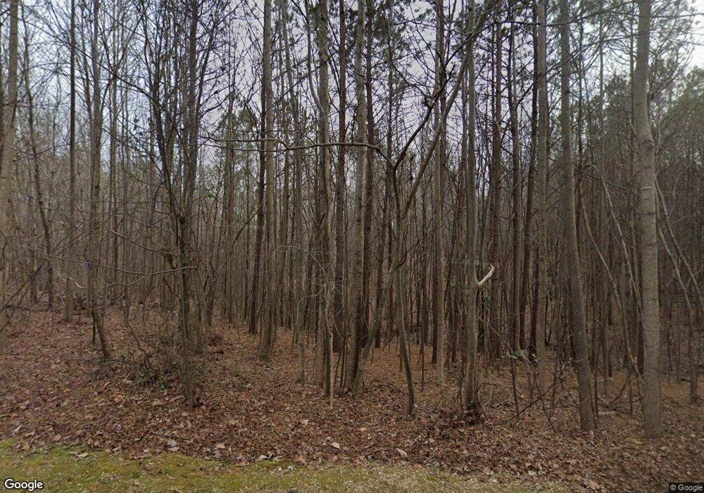
1220 Browning Rd Rockmart, GA 30153
Estimated Value: $176,000 - $353,000
3
Beds
1
Bath
1,893
Sq Ft
$138/Sq Ft
Est. Value
About This Home
This home is located at 1220 Browning Rd, Rockmart, GA 30153 and is currently estimated at $261,475, approximately $138 per square foot. 1220 Browning Rd is a home located in Polk County with nearby schools including Rockmart Middle School.
Ownership History
Date
Name
Owned For
Owner Type
Purchase Details
Closed on
Jan 31, 2022
Sold by
Higginbotham Lowrenzy Eugene Estate
Bought by
Harings Annisa Hotense
Current Estimated Value
Purchase Details
Closed on
Sep 29, 2017
Sold by
Higginbotham L E
Bought by
Harrings Annisa and Harrings Martin
Purchase Details
Closed on
Feb 28, 1990
Sold by
Moon Rosie Faye
Bought by
Higginbotham L E
Purchase Details
Closed on
Jul 1, 1988
Sold by
Lewis Pauline
Bought by
Moon Rosie Faye
Purchase Details
Closed on
Aug 6, 1976
Bought by
Lewis Pauline
Create a Home Valuation Report for This Property
The Home Valuation Report is an in-depth analysis detailing your home's value as well as a comparison with similar homes in the area
Home Values in the Area
Average Home Value in this Area
Purchase History
| Date | Buyer | Sale Price | Title Company |
|---|---|---|---|
| Harings Annisa Hotense | -- | -- | |
| Harrings Annisa | $23,562 | -- | |
| Higginbotham L E | $30,000 | -- | |
| Moon Rosie Faye | -- | -- | |
| Lewis Pauline | -- | -- |
Source: Public Records
Tax History Compared to Growth
Tax History
| Year | Tax Paid | Tax Assessment Tax Assessment Total Assessment is a certain percentage of the fair market value that is determined by local assessors to be the total taxable value of land and additions on the property. | Land | Improvement |
|---|---|---|---|---|
| 2024 | $1,049 | $50,184 | $6,856 | $43,328 |
| 2023 | $835 | $35,176 | $6,856 | $28,320 |
| 2022 | $374 | $29,139 | $4,571 | $24,568 |
| 2021 | $379 | $29,139 | $4,571 | $24,568 |
| 2020 | $379 | $29,139 | $4,571 | $24,568 |
| 2019 | $583 | $35,050 | $4,571 | $30,479 |
| 2018 | $652 | $36,997 | $7,307 | $29,690 |
| 2017 | $927 | $47,546 | $17,856 | $29,690 |
| 2016 | $1,118 | $54,592 | $14,909 | $39,684 |
| 2015 | $1,159 | $56,031 | $14,909 | $41,122 |
| 2014 | $1,149 | $55,453 | $14,909 | $40,544 |
Source: Public Records
Map
Nearby Homes
- 1252 Paris Mountain Rd
- 1806 Browning Rd
- None Maner Rd
- 2564 Vinson Mountain Rd
- 0 Browning Rd Unit 10621762
- 0 Browning Rd Unit 10621740
- 748 Maner Rd
- 0 Tolbert Town Rd Unit 10640593
- 0 Tolbert Town Rd Unit 7678739
- 399 Ruff Rd
- 0 Vinson Mountain Rd Unit 10641404
- 0 Vinson Mountain Rd Unit 10622561
- 0 Vinson Mountain Rd Unit 7678463
- 0 Vinson Mountain Rd Unit 10641411
- 0 Vinson Mountain Rd Unit 25164402
- 0 Paris Mountain Rd Unit 10295245
- 0 Paris Mountain Rd Unit 10466638
- 0 Paris Mountain Rd Unit 7380930
- 2750 Browning Rd
- 3200 Rockmart Rd
- 101 Floyd Mountain Cir
- 1165 Browning Rd
- 114 Floyd Mountain Cir
- 1200 Browning Rd
- 1121 Browning Rd
- 1279 Browning Rd
- 264 Bollen Rd
- 1119 Browning Rd
- 1086 Browning Rd
- 1079 Browning Rd
- 1486 Paris Mountain Rd
- 1332 Browning Rd
- 95 Floyd Mountain Cir
- 1342 Browning Rd
- 1044 Browning Rd
- 0 Floyd Mountain Cir Unit 7197983
- 0 Floyd Mountain Cir Unit 10145779
- 0 Floyd Mountain Cir Unit 7194958
- 1051 Browning Rd
- 1376 Browning Rd
