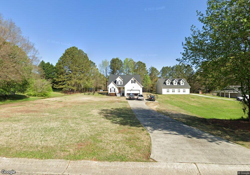
1220 Cabots Dr Auburn, GA 30011
Estimated Value: $316,000 - $337,000
3
Beds
3
Baths
1,575
Sq Ft
$207/Sq Ft
Est. Value
About This Home
This home is located at 1220 Cabots Dr, Auburn, GA 30011 and is currently estimated at $325,340, approximately $206 per square foot. 1220 Cabots Dr is a home located in Barrow County with nearby schools including Auburn Elementary School, Westside Middle School, and Apalachee High School.
Ownership History
Date
Name
Owned For
Owner Type
Purchase Details
Closed on
May 27, 1999
Sold by
Dun-Bach Assoc
Bought by
Bagwell Joey R
Current Estimated Value
Home Financials for this Owner
Home Financials are based on the most recent Mortgage that was taken out on this home.
Original Mortgage
$103,500
Interest Rate
6.94%
Mortgage Type
New Conventional
Create a Home Valuation Report for This Property
The Home Valuation Report is an in-depth analysis detailing your home's value as well as a comparison with similar homes in the area
Home Values in the Area
Average Home Value in this Area
Purchase History
| Date | Buyer | Sale Price | Title Company |
|---|---|---|---|
| Bagwell Joey R | $10,000 | -- |
Source: Public Records
Mortgage History
| Date | Status | Borrower | Loan Amount |
|---|---|---|---|
| Closed | Bagwell Joey R | $103,500 |
Source: Public Records
Tax History Compared to Growth
Tax History
| Year | Tax Paid | Tax Assessment Tax Assessment Total Assessment is a certain percentage of the fair market value that is determined by local assessors to be the total taxable value of land and additions on the property. | Land | Improvement |
|---|---|---|---|---|
| 2024 | $2,964 | $99,836 | $20,000 | $79,836 |
| 2023 | $1,453 | $77,197 | $20,000 | $57,197 |
| 2022 | $1,691 | $60,788 | $12,800 | $47,988 |
| 2021 | $1,805 | $60,788 | $12,800 | $47,988 |
| 2020 | $1,813 | $60,788 | $12,800 | $47,988 |
| 2019 | $1,839 | $60,788 | $12,800 | $47,988 |
| 2018 | $1,612 | $53,996 | $9,800 | $44,196 |
| 2017 | $255 | $45,590 | $9,800 | $35,790 |
| 2016 | $1,337 | $41,360 | $9,800 | $31,560 |
| 2015 | $1,350 | $41,720 | $9,800 | $31,920 |
| 2014 | -- | $38,552 | $6,272 | $32,280 |
| 2013 | -- | $36,669 | $6,272 | $30,397 |
Source: Public Records
Map
Nearby Homes
- 1236 Cabots Dr
- 1201 Saint Andrews Dr
- 410 Kilcrease Rd
- 624 Red Fox Ln
- 4079 Brookmont Way
- 5779 Wheeler Ridge Rd
- 1162 Pinebrook Rd Unit 1
- 1306 Stonemont Rd Unit 1
- 1308 Smokerise Ln
- 302 Jonaquil Ave
- 298 Dandelion Ln
- 569 Appalachee Ridge Rd
- 305 Crosswalk Dr
- 1127 Bradford Park Dr
- 23 Woodland Rd
- 1071 Atlanta Hwy NW
- 00 Atlanta Hwy
- 0 Hwy 316 Unit 10599538
- 0 Hwy 316 Unit 7645364
- 1237 Carl Bethlehem Rd
- 1218 Cabots Dr Unit 2
- 1218 Cabot's Dr Unit 8
- 1216 Cabots Dr
- 1217 Saint Andrews Dr
- 1224 Cabots Dr
- 1219 Saint Andrews Dr
- 1215 Saint Andrews Dr
- 1222 Cabots Ridge Unit 2
- 1221 Cabots Ridge Unit 2
- 1213 St Andrews Dr
- 1213 Saint Andrews Dr
- 1213 Saint Andrews Dr Unit 1
- 1221 NW Saint Andrews
- 1221 St Andrews Dr
- 1221 Saint Andrews Dr
- 1226 Cabots Dr Unit 2
- 1214 Cabots Dr
- 1223 Cabots Dr
- 1223 Cabots Ridge
- 1225 Cabots Dr