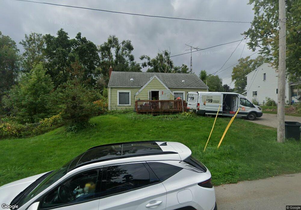
1220 Carson Ave Jackson, MI 49203
Estimated Value: $75,000
Studio
1
Bath
--
Sq Ft
8,712
Sq Ft Lot
About This Home
This home is located at 1220 Carson Ave, Jackson, MI 49203 and is currently priced at $75,000. 1220 Carson Ave is a home located in Jackson County with nearby schools including Middle School at Parkside, Jackson High School, and St. Mary Star of the Sea School.
Ownership History
Date
Name
Owned For
Owner Type
Purchase Details
Closed on
Mar 13, 2014
Sold by
Fannie Mae
Bought by
Dillon William
Current Estimated Value
Purchase Details
Closed on
Oct 9, 2006
Sold by
Nabozny Kenneth J and Nabozny Devanie
Bought by
Stone Kathy A
Home Financials for this Owner
Home Financials are based on the most recent Mortgage that was taken out on this home.
Original Mortgage
$90,000
Interest Rate
6.49%
Mortgage Type
Purchase Money Mortgage
Purchase Details
Closed on
Jul 28, 2003
Sold by
Nabozny Barbara J and Nabozny Leo J
Bought by
Nabozny Barbara J and Trudgen Karen M
Create a Home Valuation Report for This Property
The Home Valuation Report is an in-depth analysis detailing your home's value as well as a comparison with similar homes in the area
Home Values in the Area
Average Home Value in this Area
Purchase History
| Date | Buyer | Sale Price | Title Company |
|---|---|---|---|
| Dillon William | $19,700 | None Available | |
| Stone Kathy A | $90,000 | At | |
| Nabozny Barbara J | -- | -- |
Source: Public Records
Mortgage History
| Date | Status | Borrower | Loan Amount |
|---|---|---|---|
| Previous Owner | Stone Kathy A | $90,000 |
Source: Public Records
Tax History
| Year | Tax Paid | Tax Assessment Tax Assessment Total Assessment is a certain percentage of the fair market value that is determined by local assessors to be the total taxable value of land and additions on the property. | Land | Improvement |
|---|---|---|---|---|
| 2020 | $95 | $2,500 | $0 | $0 |
| 2019 | $93 | $2,300 | $0 | $0 |
| 2018 | $93 | $2,300 | $0 | $0 |
| 2017 | $75 | $2,300 | $0 | $0 |
| 2016 | $75 | $2,300 | $2,300 | $0 |
| 2015 | $75 | $2,300 | $2,300 | $0 |
| 2014 | $75 | $2,300 | $0 | $0 |
| 2013 | -- | $2,300 | $2,300 | $0 |
Source: Public Records
Map
Nearby Homes
- 1156 Knapp St
- 1139 S Dettman Rd
- 2718 Page Ave
- 900 S Roberts St
- O Research Dr
- Vl Watts St
- 1811 Lewis St
- 509 S Gorham St
- 3975 Mcarthur Rd
- VL Losey St
- 1113 E South St
- 2300 Helena Ave
- 205 S Dettman Rd
- 1506 Pringle Ave
- 111 N Forbes St
- 2401 Vining St
- 106 N Dwight St
- 200 S Elm Ave
- 2636 Hickory St
- 127 Bates St
- 1220 Carson Ave
- 1220 Carson Ave
- 1214 Carson Ave
- 1223 Carson Ave
- 1213 Knollwood Ave
- 1211 Knollwood Ave
- 1227 Carson Ave
- 1202 Carson Ave
- 1234 Carson Ave
- 1205 Carson Ave
- 1233 Carson Ave
- 1203 Knollwood Ave
- 1203 Knollwood Ave
- 1220 Knapp Ave
- 1216 Knapp Ave
- 1216 Knapp Ave
- 1216 Knapp Ave
- 1222 Knapp Ave
- 1222 Knapp Ave
- 1234 Knapp Ave
Your Personal Tour Guide
Ask me questions while you tour the home.