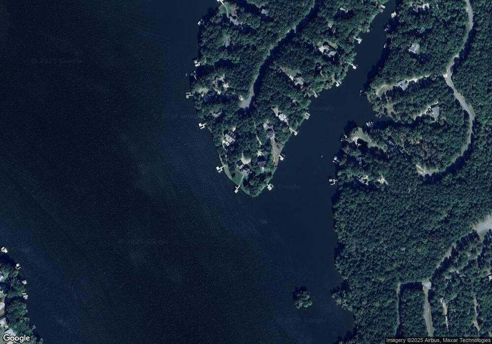
1220 Cosby Cir Greensboro, GA 30642
Estimated Value: $1,242,000 - $1,851,438
--
Bed
3
Baths
2,925
Sq Ft
$562/Sq Ft
Est. Value
About This Home
This home is located at 1220 Cosby Cir, Greensboro, GA 30642 and is currently estimated at $1,644,110, approximately $562 per square foot. 1220 Cosby Cir is a home located in Greene County with nearby schools including Greene County High School.
Ownership History
Date
Name
Owned For
Owner Type
Purchase Details
Closed on
Dec 31, 2020
Sold by
Ramon David A
Bought by
1220 Lo Llc
Current Estimated Value
Purchase Details
Closed on
Mar 29, 2007
Sold by
Evans Thomas E
Bought by
Ramon David A
Home Financials for this Owner
Home Financials are based on the most recent Mortgage that was taken out on this home.
Original Mortgage
$700,000
Interest Rate
6.15%
Mortgage Type
New Conventional
Purchase Details
Closed on
Jun 9, 1999
Sold by
Moore E Lee
Bought by
Evans Thomas E and Evans Bonnie E
Purchase Details
Closed on
Jun 28, 1993
Sold by
Mcleese Kenneth J
Bought by
Moore E Lee
Purchase Details
Closed on
Aug 29, 1991
Sold by
Mcleese Kenneth J and Mcleese Susan
Bought by
Mcleese Kenneth J
Purchase Details
Closed on
Jan 1, 1989
Sold by
American Real Estate
Bought by
Mcleese Kenneth J and Mcleese Susan
Purchase Details
Closed on
Jan 1, 1988
Bought by
American Real Estate
Create a Home Valuation Report for This Property
The Home Valuation Report is an in-depth analysis detailing your home's value as well as a comparison with similar homes in the area
Home Values in the Area
Average Home Value in this Area
Purchase History
| Date | Buyer | Sale Price | Title Company |
|---|---|---|---|
| 1220 Lo Llc | -- | -- | |
| Ramon David A | $973,280 | -- | |
| Evans Thomas E | $350,000 | -- | |
| Moore E Lee | $79,000 | -- | |
| Mcleese Kenneth J | -- | -- | |
| Mcleese Kenneth J | $78,800 | -- | |
| American Real Estate | -- | -- |
Source: Public Records
Mortgage History
| Date | Status | Borrower | Loan Amount |
|---|---|---|---|
| Previous Owner | Ramon David A | $700,000 |
Source: Public Records
Tax History Compared to Growth
Tax History
| Year | Tax Paid | Tax Assessment Tax Assessment Total Assessment is a certain percentage of the fair market value that is determined by local assessors to be the total taxable value of land and additions on the property. | Land | Improvement |
|---|---|---|---|---|
| 2024 | $7,497 | $474,880 | $196,400 | $278,480 |
| 2023 | $7,345 | $465,600 | $196,400 | $269,200 |
| 2022 | $9,779 | $537,160 | $196,400 | $340,760 |
| 2021 | $7,990 | $482,360 | $177,480 | $304,880 |
| 2020 | $9,219 | $428,800 | $174,960 | $253,840 |
| 2019 | $9,361 | $428,800 | $174,960 | $253,840 |
| 2018 | $9,337 | $428,720 | $174,960 | $253,760 |
| 2017 | $7,793 | $380,108 | $174,960 | $205,148 |
| 2016 | $7,837 | $382,157 | $174,960 | $207,197 |
| 2015 | $7,817 | $387,197 | $180,000 | $207,197 |
| 2014 | $7,925 | $382,476 | $204,120 | $178,356 |
Source: Public Records
Map
Nearby Homes
- 1081 Katherine Ln
- 1370 Plantation Dr
- 1051 Cosby Cir
- 165 Lakeview Dr
- Lot 8 Thunder Pointe Dr
- Lot 10 Thunder Pointe Dr
- Lot 7 Thunder Pointe Dr
- Lot 4 Thunder Pointe Dr
- Lot 5 Thunder Pointe Dr
- 105 Crane Ln Unit 1B
- 105 Crane Ln
- 103 Crane Ln
- 100 Lakeview Estates Dr Unit 7
- 140 Shelby Dr
- 104 Lakeview Dr
- 1330 Dogwood Dr
- 160 Ellman Dr
- 1320 Dogwood Dr
- 1320 Dogwood Dr Unit 1320 Dogwood Drive
- 1540 Vintage Club Dr
- 1210 Cosby Cir
- 1200 Cosby Cir
- 1211 Cosby Cir
- 1201 Cosby Cir
- 1180 Cosby Cir
- 1191 Cosby Cir
- 1170 Cosby Cir
- 1181 Cosby Cir
- 1131 Katherine Ln
- 1141 Katherine Ln
- 1121 Katherine Ln Unit 3
- 1121 Katherine Ln
- 1160 Cosby Cir
- 1171 Cosby Cir
- 1150 Cosby Cir
- 1161 Cosby Cir
- 1111 Katherine Ln
- 1151 Cosby Cir
- 1140 Cosby Cir
- 1061 Katherine Ln
