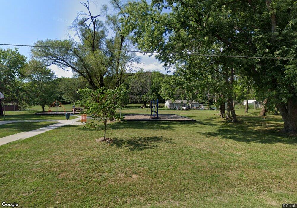
1220 Curtis Ave Excelsior Springs, MO 64024
2
Beds
1
Bath
1,088
Sq Ft
0.46
Acres
About This Home
This home is located at 1220 Curtis Ave, Excelsior Springs, MO 64024. 1220 Curtis Ave is a home located in Clay County with nearby schools including Excelsior Springs High School.
Ownership History
Date
Name
Owned For
Owner Type
Purchase Details
Closed on
Feb 24, 2016
Sold by
Tng Property Investments Llc
Bought by
The City Of Excelsior Springs
Purchase Details
Closed on
Aug 14, 2015
Sold by
The City Of Excelsior Springs
Bought by
Tng Property Investments Llc
Purchase Details
Closed on
Nov 23, 1999
Sold by
Marker Wanda and Marker Dennis
Bought by
Bergen Richard W
Home Financials for this Owner
Home Financials are based on the most recent Mortgage that was taken out on this home.
Original Mortgage
$29,400
Interest Rate
7.93%
Mortgage Type
Seller Take Back
Create a Home Valuation Report for This Property
The Home Valuation Report is an in-depth analysis detailing your home's value as well as a comparison with similar homes in the area
Home Values in the Area
Average Home Value in this Area
Purchase History
| Date | Buyer | Sale Price | Title Company |
|---|---|---|---|
| The City Of Excelsior Springs | -- | None Available | |
| Tng Property Investments Llc | -- | None Available | |
| Bergen Richard W | -- | -- |
Source: Public Records
Mortgage History
| Date | Status | Borrower | Loan Amount |
|---|---|---|---|
| Previous Owner | Bergen Richard W | $29,400 |
Source: Public Records
Tax History Compared to Growth
Tax History
| Year | Tax Paid | Tax Assessment Tax Assessment Total Assessment is a certain percentage of the fair market value that is determined by local assessors to be the total taxable value of land and additions on the property. | Land | Improvement |
|---|---|---|---|---|
| 2025 | -- | -- | -- | -- |
| 2024 | -- | -- | -- | -- |
| 2023 | $0 | $0 | $0 | $0 |
| 2022 | $0 | $0 | $0 | $0 |
| 2021 | $0 | $0 | $0 | $0 |
| 2020 | $0 | $0 | $0 | $0 |
| 2019 | $0 | $0 | $0 | $0 |
| 2018 | $0 | $0 | $0 | $0 |
| 2017 | $0 | $2,180 | $2,180 | $0 |
| 2016 | $0 | $2,180 | $2,180 | $0 |
| 2015 | -- | $2,180 | $2,180 | $0 |
| 2014 | -- | $2,180 | $2,180 | $0 |
Source: Public Records
Map
Nearby Homes
- 1219 Paton St
- 1701 Birch St
- 1801 Rainbow Dr
- 420 Seybold Rd
- 130 Kevin St
- 12118 N Hwy
- 8 Orchard Place
- 117 Kevin St
- 821 St Louis Ave
- 547 Orchard Place
- 606 Patrick Dr
- 811 Saint Louis Ave
- 111 Collette St
- 607 Old Orchard Ave
- 0 Mccleary Rd Unit HMS2499816
- 125 Crown Hill Rd
- 108 Berton Rd
- 12402 Morgan St
- 12404 Morgan St
- 12415 Morgan St
- 1228 Curtis Ave
- 1216 Curtis Ave
- 1314 Wabash St
- 1316 Wabash St
- 1312 Wabash St
- 1212 Curtis Ave
- 1231 St Louis Ave
- 1239 Saint Louis Ave
- 1209 Curtis Ave
- 1231 Saint Louis Ave
- 1230 Curtis Ave
- 120 East St
- 120 East St
- 1310 Wabash St
- 1208 Curtis Ave
- 1241 Saint Louis Ave
- 1205 Curtis Ave
- 1304 Muriel Ln
- 1243 Saint Louis Ave
- 1204 Curtis Ave