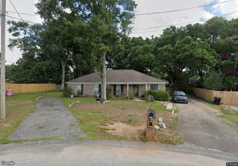
1220 Cypress Ct Mobile, AL 36695
Baker NeighborhoodEstimated Value: $206,087 - $248,000
4
Beds
2
Baths
1,856
Sq Ft
$124/Sq Ft
Est. Value
About This Home
This home is located at 1220 Cypress Ct, Mobile, AL 36695 and is currently estimated at $229,772, approximately $123 per square foot. 1220 Cypress Ct is a home located in Mobile County with nearby schools including Elsie Collier Elementary School, Bernice J Causey Middle School, and Baker High School.
Ownership History
Date
Name
Owned For
Owner Type
Purchase Details
Closed on
Aug 20, 1999
Sold by
Hossain Amjad and Hossain Salma
Bought by
Weaver Robert A and Weaver Leigh J
Current Estimated Value
Home Financials for this Owner
Home Financials are based on the most recent Mortgage that was taken out on this home.
Original Mortgage
$89,854
Outstanding Balance
$24,393
Interest Rate
7.65%
Mortgage Type
FHA
Estimated Equity
$205,379
Create a Home Valuation Report for This Property
The Home Valuation Report is an in-depth analysis detailing your home's value as well as a comparison with similar homes in the area
Home Values in the Area
Average Home Value in this Area
Purchase History
| Date | Buyer | Sale Price | Title Company |
|---|---|---|---|
| Weaver Robert A | -- | -- |
Source: Public Records
Mortgage History
| Date | Status | Borrower | Loan Amount |
|---|---|---|---|
| Open | Weaver Robert A | $89,854 |
Source: Public Records
Tax History
| Year | Tax Paid | Tax Assessment Tax Assessment Total Assessment is a certain percentage of the fair market value that is determined by local assessors to be the total taxable value of land and additions on the property. | Land | Improvement |
|---|---|---|---|---|
| 2025 | $860 | $17,730 | $4,000 | $13,730 |
| 2024 | $860 | $16,520 | $4,000 | $12,520 |
| 2023 | $804 | $15,510 | $4,000 | $11,510 |
| 2022 | $602 | $13,790 | $4,000 | $9,790 |
| 2021 | $594 | $13,600 | $4,000 | $9,600 |
| 2020 | $599 | $13,730 | $4,000 | $9,730 |
| 2019 | $596 | $13,670 | $4,000 | $9,670 |
| 2018 | $603 | $13,820 | $0 | $0 |
| 2017 | $638 | $13,100 | $0 | $0 |
| 2016 | $545 | $12,620 | $0 | $0 |
| 2013 | $587 | $12,640 | $0 | $0 |
Source: Public Records
Map
Nearby Homes
- 9375 Ashwood Ct
- 9410 Ashwood Ct
- 9613 Oak Forrest Place
- 0 New Neck Rd Unit 387066
- 9630 Oak Forrest Dr Unit 2
- 9650 Oak Forrest Dr
- 9391 Smokewood Dr
- 860 Trailwood Dr E
- 835 Royal Woods Dr E
- 9633 Royal Woods Dr S
- 1170 Wellington Ct S
- 11905 Airport Blvd
- 11905 Airport Blvd Unit 3
- 9751 Pine Knoll Rd
- 750 Hale Rd
- 1145 Dominion Dr E
- 10635 Burlington Estates Dr
- 1151 Twelve Oaks Dr
- 8880 Ohara Dr
- 9841 Shadow Wood Dr
- 1230 Cypress Ct
- 1221 Cypress Ct
- 9405 Burnt Tree Dr
- 1171 Smokerise Dr
- 9395 Burnt Tree Dr
- 1181 Smokerise Dr
- 9415 Burnt Tree Dr
- 1231 Cypress Ct
- 9425 Burnt Tree Dr
- 1240 Cypress Ct
- 1191 Smokerise Dr
- 9381 Burnt Tree Dr Unit 3
- 9381 Burnt Tree Dr
- 1250 Palmetto Ct
- 1241 Cypress Ct
- 1201 Smokerise Dr
- 1250 Cypress Ct
- 1240 Palmetto Ct
- 1240 Palmetto Ct Unit 3
- 9390 Burnt Tree Dr
Your Personal Tour Guide
Ask me questions while you tour the home.