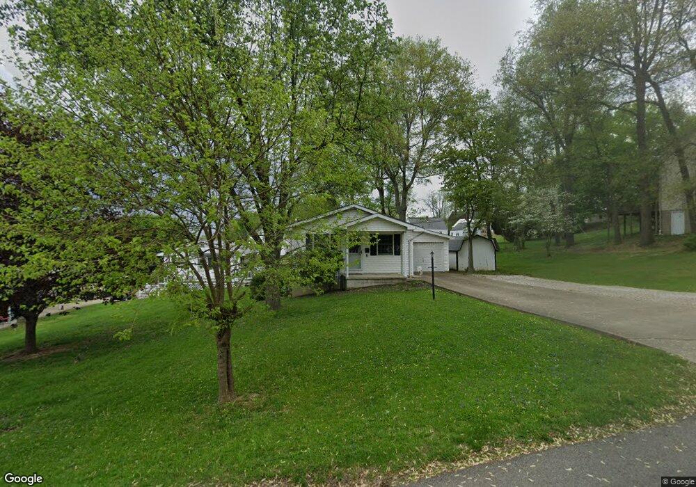
1220 Dehart Ave Coshocton, OH 43812
Estimated Value: $135,000 - $177,000
2
Beds
2
Baths
924
Sq Ft
$169/Sq Ft
Est. Value
About This Home
This home is located at 1220 Dehart Ave, Coshocton, OH 43812 and is currently estimated at $156,101, approximately $168 per square foot. 1220 Dehart Ave is a home located in Coshocton County with nearby schools including Coshocton High School, Coshocton Opportunity School, and Sacred Heart Elementary School.
Ownership History
Date
Name
Owned For
Owner Type
Purchase Details
Closed on
Nov 26, 2019
Sold by
Grubb Celia May
Bought by
Taylor Alex and Taylor Douglas Rebecca
Current Estimated Value
Home Financials for this Owner
Home Financials are based on the most recent Mortgage that was taken out on this home.
Original Mortgage
$90,333
Outstanding Balance
$79,874
Interest Rate
3.75%
Mortgage Type
FHA
Estimated Equity
$76,227
Purchase Details
Closed on
May 23, 2019
Sold by
Grubb Celia May
Bought by
Brown Penny L and Celia M Grubb Irrevocable Trus
Purchase Details
Closed on
Feb 28, 1997
Sold by
Dawson Glen T
Bought by
Dawson Glenn T
Purchase Details
Closed on
Aug 1, 1991
Purchase Details
Closed on
Dec 1, 1988
Create a Home Valuation Report for This Property
The Home Valuation Report is an in-depth analysis detailing your home's value as well as a comparison with similar homes in the area
Home Values in the Area
Average Home Value in this Area
Purchase History
| Date | Buyer | Sale Price | Title Company |
|---|---|---|---|
| Taylor Alex | $92,000 | Buckeye Reserve Title Agency | |
| Brown Penny L | -- | Buckeye Reserve Title Agency | |
| Dawson Glenn T | -- | -- | |
| -- | $65,000 | -- | |
| -- | $5,000 | -- |
Source: Public Records
Mortgage History
| Date | Status | Borrower | Loan Amount |
|---|---|---|---|
| Open | Taylor Alex | $90,333 |
Source: Public Records
Tax History Compared to Growth
Tax History
| Year | Tax Paid | Tax Assessment Tax Assessment Total Assessment is a certain percentage of the fair market value that is determined by local assessors to be the total taxable value of land and additions on the property. | Land | Improvement |
|---|---|---|---|---|
| 2024 | $1,643 | $39,800 | $6,130 | $33,670 |
| 2023 | $1,643 | $30,188 | $4,288 | $25,900 |
| 2022 | $1,438 | $30,188 | $4,288 | $25,900 |
| 2021 | $1,441 | $30,188 | $4,288 | $25,900 |
| 2020 | $1,443 | $29,282 | $3,140 | $26,142 |
| 2019 | $1,026 | $29,282 | $3,140 | $26,142 |
| 2018 | $972 | $29,282 | $3,140 | $26,142 |
| 2017 | $952 | $27,126 | $2,797 | $24,329 |
| 2016 | $910 | $27,126 | $2,797 | $24,329 |
| 2015 | $953 | $27,126 | $2,797 | $24,329 |
| 2014 | $953 | $29,520 | $3,847 | $25,673 |
Source: Public Records
Map
Nearby Homes
- Lot 8 Country Club Dr
- Lot 2 Country Club Dr
- Lot 1 Country Club Dr
- Lot 5 Country Club Dr
- Lot 4 Country Club Dr
- Lot 3 Country Club Dr
- Lot 6 Country Club Dr
- Lot 7 Country Club Dr
- 0 Ohio 541
- Lot# 7, S 12th St
- 1333 Kenilworth Ave
- 1673 Flint Ln
- 935 S 7th St
- 1680 Bow Ln
- 922 Pine St
- 1730 Otsego Ave
- 597 S 12th St
- 810 Pine St
- 380 S 10th St
- 720 Pine St
- 1200 Dehart Ave
- 1210 Dehart Ave
- 1221 Dehart Ave
- 1205 Dehart Ave
- 1320 S 12th St
- 1345 Maple Heights Ln
- 1340 S 12th St
- 1223 Denman Ave
- 1270 Dehart Ave
- 1351 Maple Heights Ln
- 1227 Denman Ave
- 1219 Denman Ave
- 1215 Denman Ave
- 1360 S 12th St
- 1201 Denman Ave
- 1229 Denman Ave
- 1229 Denman Ave
- 1104 Cassingham Ave
- 1104 Cassingham Ave
- 1390 S 12th St