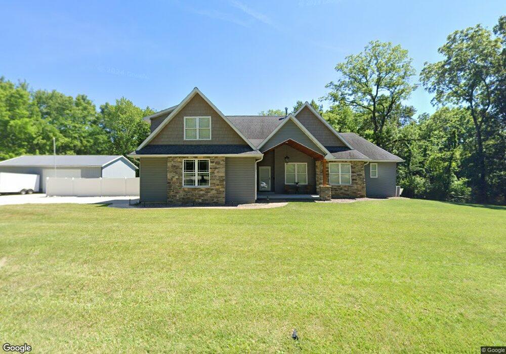
1220 E Ryder St Litchfield, IL 62056
Estimated Value: $90,000 - $412,000
Studio
--
Bath
--
Sq Ft
22,695
Sq Ft Lot
About This Home
This home is located at 1220 E Ryder St, Litchfield, IL 62056 and is currently estimated at $279,336. 1220 E Ryder St is a home with nearby schools including J.D. Colt Elementary School, Madison Park Elementary School, and Litchfield Elementary School.
Ownership History
Date
Name
Owned For
Owner Type
Purchase Details
Closed on
Dec 9, 2014
Sold by
Mcbrain William Kent and Mcbrain Kyle
Bought by
Law Anthony and Law Nichole
Current Estimated Value
Home Financials for this Owner
Home Financials are based on the most recent Mortgage that was taken out on this home.
Original Mortgage
$26,000
Outstanding Balance
$19,952
Interest Rate
3.97%
Mortgage Type
New Conventional
Estimated Equity
$259,384
Purchase Details
Closed on
Jun 25, 2013
Sold by
William Kent Estate
Bought by
Mcbrain William Kent
Create a Home Valuation Report for This Property
The Home Valuation Report is an in-depth analysis detailing your home's value as well as a comparison with similar homes in the area
Home Values in the Area
Average Home Value in this Area
Purchase History
| Date | Buyer | Sale Price | Title Company |
|---|---|---|---|
| Law Anthony | $26,000 | Community Title | |
| Mcbrain William Kent | -- | -- |
Source: Public Records
Mortgage History
| Date | Status | Borrower | Loan Amount |
|---|---|---|---|
| Open | Law Anthony | $26,000 |
Source: Public Records
Tax History
| Year | Tax Paid | Tax Assessment Tax Assessment Total Assessment is a certain percentage of the fair market value that is determined by local assessors to be the total taxable value of land and additions on the property. | Land | Improvement |
|---|---|---|---|---|
| 2024 | $8,865 | $111,290 | $2,920 | $108,370 |
| 2023 | $8,500 | $105,110 | $2,760 | $102,350 |
| 2022 | $8,167 | $99,180 | $2,600 | $96,580 |
| 2021 | $7,948 | $95,970 | $2,510 | $93,460 |
| 2020 | $7,508 | $90,980 | $2,380 | $88,600 |
| 2019 | $214 | $2,340 | $2,340 | $0 |
| 2018 | $84 | $890 | $890 | $0 |
| 2017 | $84 | $880 | $880 | $0 |
| 2016 | $82 | $850 | $850 | $0 |
| 2015 | $80 | $860 | $860 | $0 |
| 2013 | -- | $850 | $850 | $0 |
Source: Public Records
Map
Nearby Homes
- 822 E Union Ave
- 920 E Martin St
- 227 S Montgomery Ave
- 916 N Locust St
- 1208 Thistle Trail
- 1110 N Walnut St
- 1206 Poppy Ct
- 601 Elizabeth Dr
- 1209 Orchid Ln
- 1217 Orchid Ln
- 1204 Lavender Ln
- 609 E Hauser St
- 1014 E Water St
- 1015 E Clark St
- 419 E Corwin St
- 614 E Tyler Ave
- 711 S Franklin St
- 912 S Walnut St
- 818 S Franklin St
- 903 N Van Buren St
- 1244 E Ryder St
- 1244 E Ryder St
- 1200 E Union Ave
- 304 N Locust St
- 1255 E Ryder St
- 315 N Locust St
- 319 N Locust St
- 1025 E Ryder St
- 1258 E Ryder St
- 0 E Union Ave
- 329 N Locust St
- 1258 E Union Ave
- 1257 E Ryder St
- 1234 Rt 16 N Blue St
- 403 N Locust St
- 302 N Illinois Ave
- 1264 E Union Ave
- 409 N Locust St
- 413 N Locust St
- 1261 E Ryder St
Your Personal Tour Guide
Ask me questions while you tour the home.