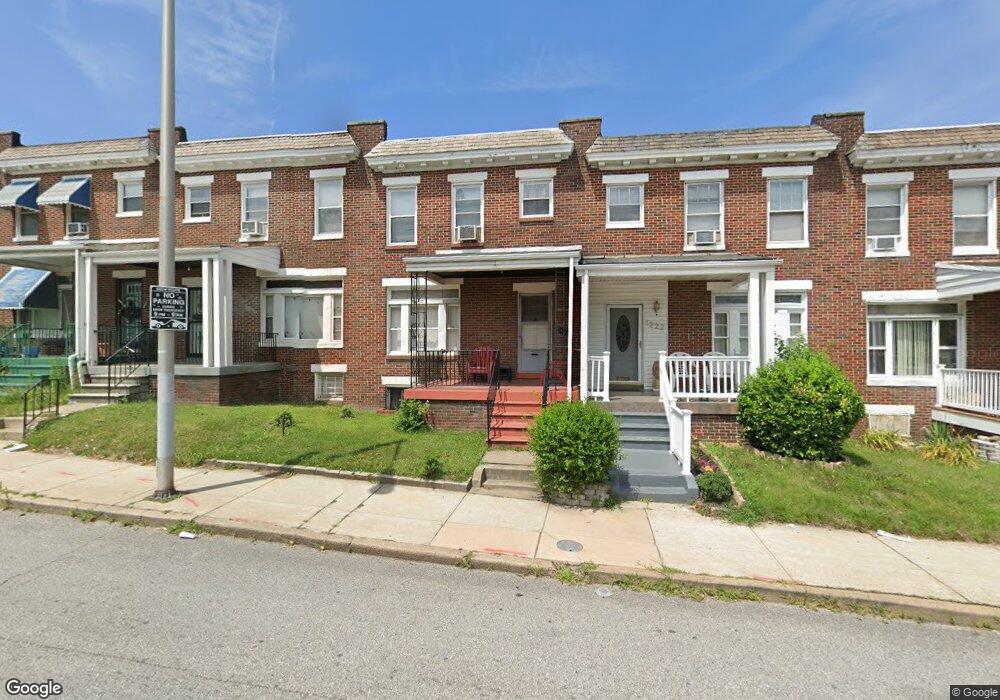
1220 Edison Hwy Baltimore, MD 21213
Berea NeighborhoodEstimated Value: $173,000
3
Beds
2
Baths
1,420
Sq Ft
$122/Sq Ft
Est. Value
About This Home
This home is located at 1220 Edison Hwy, Baltimore, MD 21213 and is currently estimated at $173,000, approximately $121 per square foot. 1220 Edison Hwy is a home located in Baltimore City with nearby schools including Lakewood Elementary School, Fort Worthington Elementary School, and Booker T. Washington Middle School.
Ownership History
Date
Name
Owned For
Owner Type
Purchase Details
Closed on
Oct 24, 2022
Sold by
Hammond Taisha N
Bought by
Hammond Taisha N and Easley Tyrone A
Current Estimated Value
Home Financials for this Owner
Home Financials are based on the most recent Mortgage that was taken out on this home.
Original Mortgage
$156,000
Interest Rate
7.18%
Mortgage Type
New Conventional
Create a Home Valuation Report for This Property
The Home Valuation Report is an in-depth analysis detailing your home's value as well as a comparison with similar homes in the area
Home Values in the Area
Average Home Value in this Area
Purchase History
| Date | Buyer | Sale Price | Title Company |
|---|---|---|---|
| Hammond Taisha N | -- | Vylla Title | |
| Hammond Taisha N | -- | Vylla Title | |
| Hammond Taisha N | -- | Vylla Title | |
| Hammond Taisha N | -- | Vylla Title |
Source: Public Records
Mortgage History
| Date | Status | Borrower | Loan Amount |
|---|---|---|---|
| Previous Owner | Hammond Taisha N | $156,000 |
Source: Public Records
Tax History Compared to Growth
Tax History
| Year | Tax Paid | Tax Assessment Tax Assessment Total Assessment is a certain percentage of the fair market value that is determined by local assessors to be the total taxable value of land and additions on the property. | Land | Improvement |
|---|---|---|---|---|
| 2025 | $2,612 | $127,500 | $20,000 | $107,500 |
| 2024 | $2,612 | $111,200 | $0 | $0 |
| 2023 | $2,229 | $94,900 | $0 | $0 |
| 2022 | $1,855 | $78,600 | $20,000 | $58,600 |
| 2021 | $1,850 | $78,400 | $0 | $0 |
| 2020 | $1,680 | $78,200 | $0 | $0 |
| 2019 | $1,668 | $78,000 | $20,000 | $58,000 |
| 2018 | $1,696 | $78,000 | $20,000 | $58,000 |
| 2017 | $1,714 | $78,000 | $0 | $0 |
| 2016 | $1,244 | $79,500 | $0 | $0 |
| 2015 | $1,244 | $70,500 | $0 | $0 |
| 2014 | $1,244 | $61,500 | $0 | $0 |
Source: Public Records
Map
Nearby Homes
- 1310 N Ellwood Ave
- 1240 N Ellwood Ave
- 1219 N Potomac St
- 1403 N Decker Ave
- 1220 N Potomac St
- 1300 N Potomac St
- 1203 N Curley St
- 1210 N Curley St
- 1430 N Decker Ave
- 1318 N Linwood Ave
- 1510 N Decker Ave
- 1325 Kenhill Ave
- 3104 E Federal St
- 3040 E Federal St
- 2811 E Preston St
- 1311 N Kenwood Ave
- 2841 E Federal St
- 1515 Kenhill Ave
- 2800 E Chase St
- 2732 Mura St
- 1222 Edison Hwy
- 1218 Edison Hwy
- 1224 Edison Hwy
- 1216 Edison Hwy
- 1226 Edison Hwy
- 1214 Edison Hwy
- 1212 Edison Hwy
- 1228 Edison Hwy
- 3117 E Preston St
- 3115 E Preston St
- 1210 Edison Hwy
- 1230 Edison Hwy
- 3113 E Preston St
- 1208 Edison Hwy
- 3111 E Preston St
- 3109 E Preston St
- 1206 Edison Hwy
- 3107 E Preston St
- 3105 E Preston St
- 1204 Edison Hwy