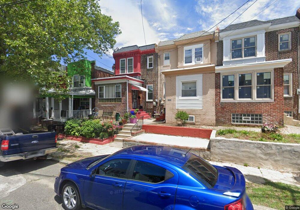
1220 Empire Ave Camden, NJ 08103
Parkside NeighborhoodEstimated Value: $156,000 - $179,000
--
Bed
--
Bath
1,488
Sq Ft
$113/Sq Ft
Est. Value
About This Home
This home is located at 1220 Empire Ave, Camden, NJ 08103 and is currently estimated at $167,679, approximately $112 per square foot. 1220 Empire Ave is a home located in Camden County with nearby schools including Camden High School and Freedom Prep Charter School.
Ownership History
Date
Name
Owned For
Owner Type
Purchase Details
Closed on
Mar 9, 2001
Sold by
Estate Of Marie J Hicks
Bought by
Green Tyrone and Jefferson Robin
Current Estimated Value
Home Financials for this Owner
Home Financials are based on the most recent Mortgage that was taken out on this home.
Original Mortgage
$49,227
Outstanding Balance
$17,912
Interest Rate
7.01%
Mortgage Type
FHA
Estimated Equity
$149,767
Create a Home Valuation Report for This Property
The Home Valuation Report is an in-depth analysis detailing your home's value as well as a comparison with similar homes in the area
Home Values in the Area
Average Home Value in this Area
Purchase History
| Date | Buyer | Sale Price | Title Company |
|---|---|---|---|
| Green Tyrone | $50,000 | -- |
Source: Public Records
Mortgage History
| Date | Status | Borrower | Loan Amount |
|---|---|---|---|
| Open | Green Tyrone | $49,227 |
Source: Public Records
Tax History Compared to Growth
Tax History
| Year | Tax Paid | Tax Assessment Tax Assessment Total Assessment is a certain percentage of the fair market value that is determined by local assessors to be the total taxable value of land and additions on the property. | Land | Improvement |
|---|---|---|---|---|
| 2025 | $2,505 | $70,700 | $12,700 | $58,000 |
| 2024 | $2,421 | $70,700 | $12,700 | $58,000 |
| 2023 | $2,421 | $70,700 | $12,700 | $58,000 |
| 2022 | $2,376 | $70,700 | $12,700 | $58,000 |
| 2021 | $2,368 | $70,700 | $12,700 | $58,000 |
| 2020 | $2,248 | $70,700 | $12,700 | $58,000 |
| 2019 | $2,153 | $70,700 | $12,700 | $58,000 |
| 2018 | $2,142 | $70,700 | $12,700 | $58,000 |
| 2017 | $2,089 | $70,700 | $12,700 | $58,000 |
| 2016 | $2,023 | $70,700 | $12,700 | $58,000 |
| 2015 | $1,947 | $70,700 | $12,700 | $58,000 |
| 2014 | $1,900 | $70,700 | $12,700 | $58,000 |
Source: Public Records
Map
Nearby Homes
- 1513 Wildwood Ave
- 1510 Wildwood Ave
- 1224 Empire Ave
- 1213 Empire Ave
- 1138 Langham Ave
- 1243 Magnolia Ave
- 1113 Empire Ave
- 1118 Langham Ave
- 1266 Magnolia Ave
- 1249 Kenwood Ave
- 1268 Kenwood Ave
- 1261 Kenwood Ave
- 1361 Kaighns Ave
- 1238 Haddon Ave
- 1036 Princess Ave
- 1003 Langham Ave
- 1407 Bradley Ave
- 1386 Haddon Ave
- 1224 Chestnut St
- 1508 Bradley Ave
- 1222 Empire Ave
- 1216 Empire Ave
- 1214 Empire Ave
- 1226 Empire Ave
- 1234 Empire Ave
- 1228 Empire Ave
- 1230 Empire Ave
- 1225 Magnolia Ave
- 1227 Magnolia Ave
- 1221 Magnolia Ave
- 1219 Magnolia Ave
- 1232 Empire Ave
- 1233 Magnolia Ave
- 1500 Wildwood Ave
- 1236 Empire Ave
- 1504 Wildwood Ave
- 1502 Wildwood Ave
- 1237 Magnolia Ave
- 1506 Wildwood Ave
- 1508 Wildwood Ave