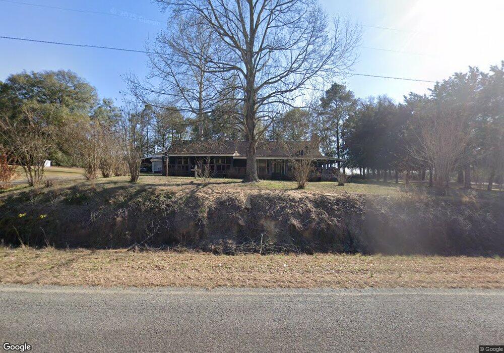
1220 Ga Highway 127 E Butler, GA 31006
Estimated Value: $178,824 - $232,000
3
Beds
2
Baths
2,310
Sq Ft
$91/Sq Ft
Est. Value
About This Home
This home is located at 1220 Ga Highway 127 E, Butler, GA 31006 and is currently estimated at $210,275, approximately $91 per square foot. 1220 Ga Highway 127 E is a home located in Taylor County with nearby schools including Taylor County Upper Elementary School, Taylor County Primary School, and Taylor County Middle School.
Ownership History
Date
Name
Owned For
Owner Type
Purchase Details
Closed on
Aug 17, 2005
Sold by
Young Beverly L
Bought by
Bone Louise
Current Estimated Value
Purchase Details
Closed on
Jul 25, 2005
Sold by
Fryer George T
Bought by
Young Beverly L
Purchase Details
Closed on
Jul 30, 1993
Bought by
Fryer Beverly Lucill
Create a Home Valuation Report for This Property
The Home Valuation Report is an in-depth analysis detailing your home's value as well as a comparison with similar homes in the area
Home Values in the Area
Average Home Value in this Area
Purchase History
| Date | Buyer | Sale Price | Title Company |
|---|---|---|---|
| Bone Louise | -- | -- | |
| Young Beverly L | $5,533 | -- | |
| Young Beverly L | $5,533 | -- | |
| Fryer Beverly Lucill | -- | -- |
Source: Public Records
Tax History Compared to Growth
Tax History
| Year | Tax Paid | Tax Assessment Tax Assessment Total Assessment is a certain percentage of the fair market value that is determined by local assessors to be the total taxable value of land and additions on the property. | Land | Improvement |
|---|---|---|---|---|
| 2024 | $1,133 | $55,600 | $2,200 | $53,400 |
| 2023 | $954 | $44,576 | $2,200 | $42,376 |
| 2022 | $972 | $42,336 | $2,200 | $40,136 |
| 2021 | $879 | $39,336 | $1,840 | $37,496 |
| 2020 | $767 | $34,312 | $1,840 | $32,472 |
| 2019 | $779 | $34,312 | $1,840 | $32,472 |
| 2018 | $826 | $34,312 | $1,840 | $32,472 |
| 2017 | $721 | $32,293 | $1,852 | $30,441 |
| 2016 | $726 | $32,292 | $1,852 | $30,441 |
| 2015 | -- | $32,292 | $1,852 | $30,441 |
| 2014 | -- | $27,398 | $2,058 | $25,340 |
| 2013 | -- | $31,772 | $2,057 | $29,715 |
Source: Public Records
Map
Nearby Homes
- 93 Poole Rd
- Parcel 1 Whipporwill Rd
- 206 Southland Rd
- 708 Tommy Purvis Junior Rd
- 831 Ga Highway 90 E
- 0 Marvis Chapman Rd Unit 10319071
- 0 Marvis Chapman Rd Unit 25510380
- 0 Allmon Rd Unit 25510364
- 0 Allmon Rd Unit 24144380
- 0 Allmon Rd Unit 10319213
- 0 Allmon Rd Unit 25510570
- 0 Allmon Rd Unit 10319234
- 0 Allmon Rd Unit 25510363
- 0 Allmon Rd Unit 25510361
- 0 Allmon Rd Unit 10319221
- 0 Allmon Rd Unit 10319208
- 0 Allmon Rd Unit 25510366
- 0 Allmon Rd Unit 10319216
- 257 Carpenter Rd
- 298 E Highway 127