1220 Henderson Rd Howell, MI 48855
Estimated Value: $325,191 - $388,000
--
Bed
--
Bath
1,736
Sq Ft
$212/Sq Ft
Est. Value
About This Home
This home is located at 1220 Henderson Rd, Howell, MI 48855 and is currently estimated at $368,048, approximately $212 per square foot. 1220 Henderson Rd is a home located in Livingston County with nearby schools including Voyager Elementary School, Highlander Way Middle School, and Howell High School.
Ownership History
Date
Name
Owned For
Owner Type
Purchase Details
Closed on
Apr 5, 2005
Sold by
Bernhardt Michael E
Bought by
Reardan Cathleen J
Current Estimated Value
Home Financials for this Owner
Home Financials are based on the most recent Mortgage that was taken out on this home.
Original Mortgage
$199,500
Outstanding Balance
$104,417
Interest Rate
6%
Mortgage Type
Fannie Mae Freddie Mac
Estimated Equity
$263,631
Purchase Details
Closed on
Jan 19, 1996
Sold by
Nemer Joseph S
Bought by
Bernhardt Michael E and Bernhardt P
Home Financials for this Owner
Home Financials are based on the most recent Mortgage that was taken out on this home.
Original Mortgage
$121,100
Interest Rate
7.19%
Mortgage Type
FHA
Create a Home Valuation Report for This Property
The Home Valuation Report is an in-depth analysis detailing your home's value as well as a comparison with similar homes in the area
Home Values in the Area
Average Home Value in this Area
Purchase History
| Date | Buyer | Sale Price | Title Company |
|---|---|---|---|
| Reardan Cathleen J | $210,000 | Jefferson Title Llc | |
| Bernhardt Michael E | $122,000 | -- |
Source: Public Records
Mortgage History
| Date | Status | Borrower | Loan Amount |
|---|---|---|---|
| Open | Reardan Cathleen J | $199,500 | |
| Previous Owner | Bernhardt Michael E | $121,100 |
Source: Public Records
Tax History Compared to Growth
Tax History
| Year | Tax Paid | Tax Assessment Tax Assessment Total Assessment is a certain percentage of the fair market value that is determined by local assessors to be the total taxable value of land and additions on the property. | Land | Improvement |
|---|---|---|---|---|
| 2025 | $1,778 | $121,733 | $0 | $0 |
| 2024 | $1,125 | $115,060 | $0 | $0 |
| 2023 | $1,075 | $102,575 | $0 | $0 |
| 2022 | $1,519 | $96,120 | $0 | $0 |
| 2021 | $1,490 | $91,600 | $0 | $0 |
| 2020 | $1,520 | $88,400 | $0 | $0 |
| 2019 | $1,499 | $78,700 | $0 | $0 |
| 2018 | $1,482 | $75,700 | $0 | $0 |
| 2017 | $1,464 | $75,700 | $0 | $0 |
| 2016 | $1,457 | $74,000 | $0 | $0 |
| 2014 | $1,485 | $58,700 | $0 | $0 |
| 2012 | $1,485 | $62,300 | $0 | $0 |
Source: Public Records
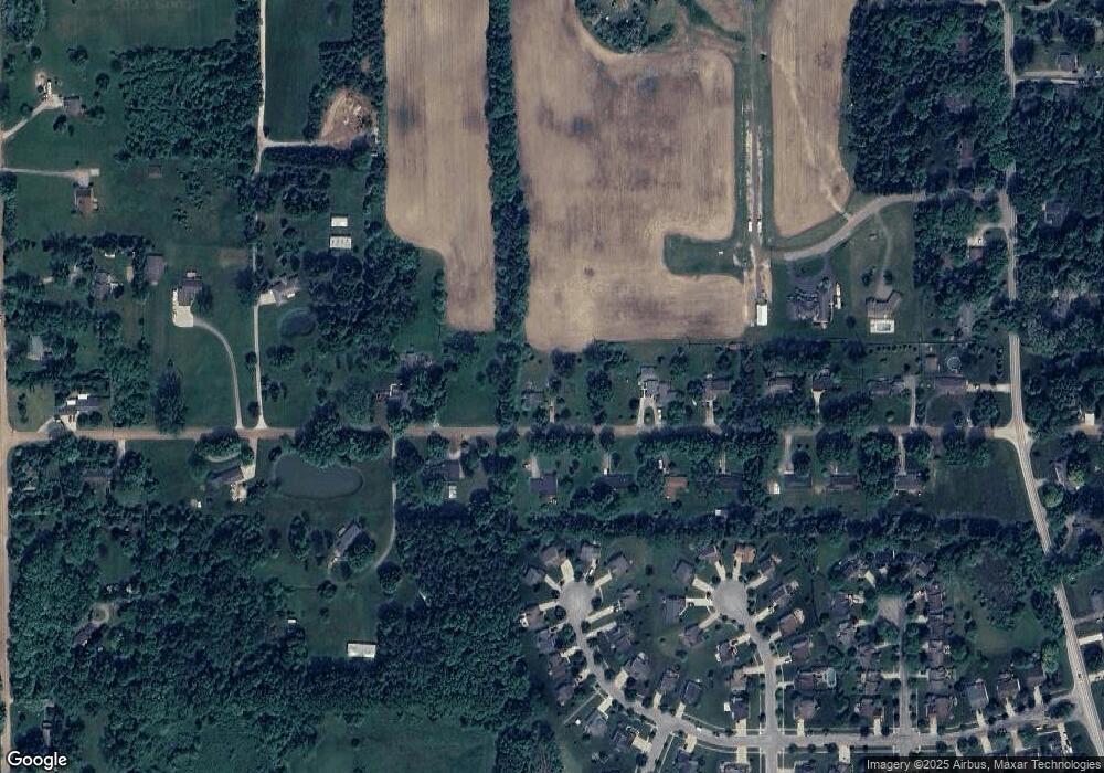
Map
Nearby Homes
- 2051 Byron Rd
- 1827 Oak Squire Ct
- 790 Olde English Cir Unit 8
- 642 Olde English Cir Unit 54
- 606 Olde English Cir
- 610 Olde English Cir Unit 66
- 592 Olde English Cir
- 1691 Pinecroft Ln
- 2206 Knotty Pine Trail
- 2533 Armond Rd
- 1618 Red Hickory Ct
- 631 Grafton Ln
- 2185 Armond Rd
- 386 Dorchester Dr
- 1257 Byron Rd
- Howden A Plan at Howden Meadows
- Howden B Plan at Howden Meadows
- 515 W Highland Rd Unit 1
- 2135 Oak Grove Rd
- 505 W Highland Rd
- 989 Henderson Rd
- 1140 Henderson Rd
- 967 Henderson Rd
- 1270 Henderson Rd
- 1270 Henderson Rd
- 1238 Still Valley Dr
- 1232 Still Valley Dr
- 941 Henderson Rd
- 930 Henderson Rd
- 1226 Still Valley Dr
- 1237 Still Valley Dr
- 1935 Acorn Valley Dr
- 923 Henderson Rd
- 1941 Acorn Valley Dr
- 1220 Still Valley Dr
- 1231 Still Valley Dr
- 880 Henderson Rd
- 1940 Acorn Valley Dr
- 1929 Acorn Valley Dr
- 1225 Still Valley Dr