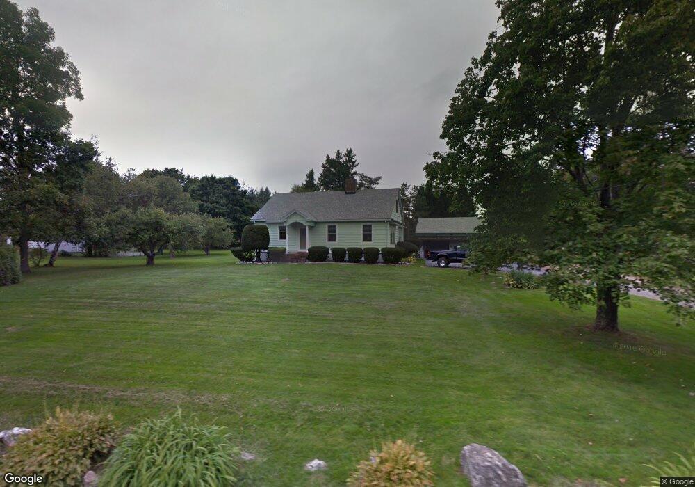
1220 Highland Ave Torrington, CT 06790
Estimated Value: $291,000 - $301,000
2
Beds
1
Bath
1,372
Sq Ft
$216/Sq Ft
Est. Value
About This Home
This home is located at 1220 Highland Ave, Torrington, CT 06790 and is currently estimated at $295,670, approximately $215 per square foot. 1220 Highland Ave is a home located in Litchfield County with nearby schools including Torrington Middle School, Torrington High School, and St. Peter School.
Ownership History
Date
Name
Owned For
Owner Type
Purchase Details
Closed on
Feb 11, 2025
Sold by
Bourque Roger F and Bourque Denise M
Bought by
Roger and Roger Denise Bourque
Current Estimated Value
Purchase Details
Closed on
Jan 23, 2025
Sold by
Bourque Roger F and Bourque Denise M
Bought by
Roger and Roger Denise Bourque
Purchase Details
Closed on
Apr 27, 1979
Bought by
Bourque Roger F and Bourque Denise
Create a Home Valuation Report for This Property
The Home Valuation Report is an in-depth analysis detailing your home's value as well as a comparison with similar homes in the area
Home Values in the Area
Average Home Value in this Area
Purchase History
| Date | Buyer | Sale Price | Title Company |
|---|---|---|---|
| Roger | -- | None Available | |
| Roger | -- | None Available | |
| Roger | -- | None Available | |
| Roger | -- | None Available | |
| Bourque Roger F | -- | -- |
Source: Public Records
Mortgage History
| Date | Status | Borrower | Loan Amount |
|---|---|---|---|
| Previous Owner | Bourque Roger F | $20,000 |
Source: Public Records
Tax History Compared to Growth
Tax History
| Year | Tax Paid | Tax Assessment Tax Assessment Total Assessment is a certain percentage of the fair market value that is determined by local assessors to be the total taxable value of land and additions on the property. | Land | Improvement |
|---|---|---|---|---|
| 2025 | $6,390 | $166,180 | $24,010 | $142,170 |
| 2024 | $4,897 | $102,080 | $24,010 | $78,070 |
| 2023 | $4,896 | $102,080 | $24,010 | $78,070 |
| 2022 | $4,812 | $102,080 | $24,010 | $78,070 |
| 2021 | $4,713 | $102,080 | $24,010 | $78,070 |
| 2020 | $4,713 | $102,080 | $24,010 | $78,070 |
| 2019 | $4,514 | $97,770 | $29,500 | $68,270 |
| 2018 | $4,514 | $97,770 | $29,500 | $68,270 |
| 2017 | $4,473 | $97,770 | $29,500 | $68,270 |
| 2016 | $4,473 | $97,770 | $29,500 | $68,270 |
| 2015 | $4,473 | $97,770 | $29,500 | $68,270 |
| 2014 | $4,618 | $127,140 | $41,900 | $85,240 |
Source: Public Records
Map
Nearby Homes
- 70 Greenfield Dr
- 103 Greenfield Dr
- 39 Baron Ln
- 1551 Highland Ave
- 68 Westledge Terrace
- 361 Heights Dr
- 271 Heights Dr
- 206 Martha St
- 1739 Weed Rd
- 5 Zappulla Dr
- 130 Oakbrook Ln
- 1616 Weed Rd
- 1657 Weed Rd
- 237 Wyoming Ave
- 0 Highland Ave Unit 24088105
- 136 Wyoming Ave
- 213 Spring St
- 244 Hawthorne Terrace
- 58 Eggleston St
- 0 Peck Rd
- 1250 Highland Ave
- 50 Westside Rd
- 1188 Highland Ave
- 64 Westside Rd
- 1249 Highland Ave
- 1167 Highland Ave
- 1158 Highland Ave
- 67 Westside Rd
- 1279 Highland Ave
- 112 Westside Rd
- 91 Westside Rd
- 1118 Highland Ave
- 1119 Highland Ave
- 146 Westside Rd
- 130 Westside Rd
- 142 Westside Rd
- 1319 Highland Ave
- 1115 Highland Ave
- 111 Westside Rd
- 1340 Highland Ave