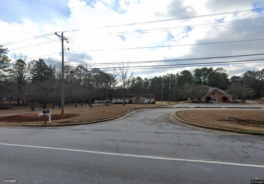
1220 Highway 138 SW Conyers, GA 30094
Estimated Value: $276,000 - $415,000
3
Beds
2
Baths
1,967
Sq Ft
$160/Sq Ft
Est. Value
About This Home
This home is located at 1220 Highway 138 SW, Conyers, GA 30094 and is currently estimated at $313,837, approximately $159 per square foot. 1220 Highway 138 SW is a home with nearby schools including Flat Shoals Elementary School, Edwards Middle School, and Rockdale County High School.
Ownership History
Date
Name
Owned For
Owner Type
Purchase Details
Closed on
May 13, 2019
Sold by
Sheppard Glenn L
Bought by
Sheppard Jacquelyn S
Current Estimated Value
Purchase Details
Closed on
Dec 31, 2012
Sold by
Sheppard Jacquelyn S
Bought by
Glenn L Jacquelyn S She
Purchase Details
Closed on
Sep 28, 2001
Sold by
Hieber Denny W and Hieber Tammy L
Bought by
Sheppard Jacquelyn S
Home Financials for this Owner
Home Financials are based on the most recent Mortgage that was taken out on this home.
Original Mortgage
$170,054
Interest Rate
6.74%
Mortgage Type
New Conventional
Create a Home Valuation Report for This Property
The Home Valuation Report is an in-depth analysis detailing your home's value as well as a comparison with similar homes in the area
Home Values in the Area
Average Home Value in this Area
Purchase History
| Date | Buyer | Sale Price | Title Company |
|---|---|---|---|
| Sheppard Jacquelyn S | -- | -- | |
| Glenn L Jacquelyn S She | -- | -- | |
| Sheppard Jacquelyn S | $205,000 | -- |
Source: Public Records
Mortgage History
| Date | Status | Borrower | Loan Amount |
|---|---|---|---|
| Previous Owner | Sheppard Jacquelyn S | $170,054 |
Source: Public Records
Tax History Compared to Growth
Tax History
| Year | Tax Paid | Tax Assessment Tax Assessment Total Assessment is a certain percentage of the fair market value that is determined by local assessors to be the total taxable value of land and additions on the property. | Land | Improvement |
|---|---|---|---|---|
| 2024 | $3,656 | $91,560 | $36,000 | $55,560 |
| 2023 | $3,005 | $72,840 | $34,280 | $38,560 |
| 2022 | $2,918 | $70,640 | $34,280 | $36,360 |
| 2021 | $2,678 | $65,360 | $29,000 | $36,360 |
| 2020 | $2,535 | $59,480 | $22,400 | $37,080 |
| 2019 | $2,002 | $44,600 | $22,400 | $22,200 |
| 2018 | $1,715 | $38,040 | $15,840 | $22,200 |
| 2017 | $1,522 | $33,440 | $15,840 | $17,600 |
| 2016 | $1,522 | $33,440 | $15,840 | $17,600 |
| 2015 | $1,524 | $33,440 | $15,840 | $17,600 |
| 2014 | $1,547 | $33,600 | $15,840 | $17,760 |
| 2013 | -- | $42,448 | $19,800 | $22,648 |
Source: Public Records
Map
Nearby Homes
- 660 Kirkus Dr SE
- Astrid Plan at Alder Park
- Harrison Plan at Alder Park
- Baker Plan at Alder Park
- Oliver Plan at Alder Park
- 2197 Boxwood Cir
- Boston Plan at Millers Pointe
- Atlanta Plan at Millers Pointe
- Columbus Plan at Millers Pointe
- 1870 Parker Rd SE
- 1701 Silver Summit Dr SE
- 2464 Lennox Rd SE
- 1000 Silver Summit Dr SE
- 1242 Saxony Dr SE
- 1408 Aramore Dr SE
- 1502 Silver Summit Dr SE
- 1503 Silver Summit Dr SE Unit 1503
- 1402 Aramore Dr SE
- 0 Georgia 20 Unit 10439576
- 1911 Victoria Way Unit 117
- 1240 Highway 138 SW
- 1200 Highway 138 SW
- 1160 Highway 138 SW
- 651 Kirkus Dr SE
- 1260 Highway 138 SE
- 2011 Weatherstone Cir SE
- 1 SE Hwy 138
- 0 NE Highway 138 Unit 10018048
- 1161 Highway 138 SW Unit O&I
- 1161 Highway 138 SW Unit C-1
- 1161 Highway 138 SW
- 2131 Weatherstone Cir SE
- 2121 Weatherstone Cir SE
- 670 Kirkus Dr SE
- 670 Kirkus Dr SE Unit 670 KIRKUS DR.
- 2141 Weatherstone Cir SE Unit 1
- 1225 Highway 138 SW
- 680 Kirkus Dr SE
- 2111 Weatherstone Cir SE
- 690 Kirkus Dr SE