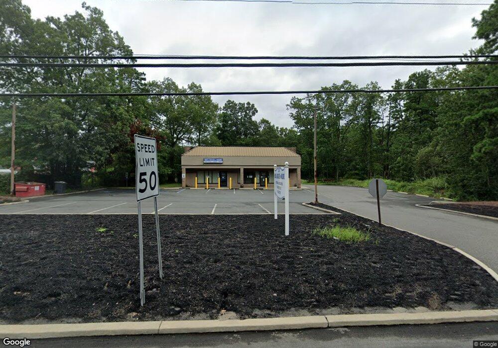
1220 Highway 70 Whiting, NJ 08759
Manchester Township NeighborhoodEstimated Value: $730,381
4
Beds
3
Baths
2,500
Sq Ft
$292/Sq Ft
Est. Value
About This Home
This home is located at 1220 Highway 70, Whiting, NJ 08759 and is currently estimated at $730,381, approximately $292 per square foot. 1220 Highway 70 is a home located in Ocean County with nearby schools including Manchester Township High School.
Ownership History
Date
Name
Owned For
Owner Type
Purchase Details
Closed on
Feb 26, 2014
Sold by
1220 Route 70 Llc
Bought by
1220 Whiting Llc
Current Estimated Value
Purchase Details
Closed on
Mar 10, 2004
Sold by
Alario Nancy K
Bought by
1220 Route 70 Llc
Purchase Details
Closed on
Dec 3, 1997
Sold by
Alario Real Estate Inc
Bought by
Alario Nancy
Create a Home Valuation Report for This Property
The Home Valuation Report is an in-depth analysis detailing your home's value as well as a comparison with similar homes in the area
Home Values in the Area
Average Home Value in this Area
Purchase History
| Date | Buyer | Sale Price | Title Company |
|---|---|---|---|
| 1220 Whiting Llc | $325,000 | First American Title Ins Co | |
| 1220 Route 70 Llc | -- | -- | |
| Alario Nancy | -- | -- |
Source: Public Records
Tax History Compared to Growth
Tax History
| Year | Tax Paid | Tax Assessment Tax Assessment Total Assessment is a certain percentage of the fair market value that is determined by local assessors to be the total taxable value of land and additions on the property. | Land | Improvement |
|---|---|---|---|---|
| 2025 | $10,063 | $606,300 | $468,000 | $138,300 |
| 2024 | $9,551 | $409,900 | $265,200 | $144,700 |
| 2023 | $9,079 | $409,900 | $265,200 | $144,700 |
| 2022 | $9,079 | $409,900 | $265,200 | $144,700 |
| 2021 | $8,883 | $409,900 | $265,200 | $144,700 |
| 2020 | $8,649 | $409,900 | $265,200 | $144,700 |
| 2019 | $9,347 | $364,400 | $248,000 | $116,400 |
| 2018 | $9,310 | $364,400 | $248,000 | $116,400 |
| 2017 | $9,347 | $364,400 | $248,000 | $116,400 |
| 2016 | $9,234 | $364,400 | $248,000 | $116,400 |
| 2015 | $9,063 | $364,400 | $248,000 | $116,400 |
| 2014 | $8,877 | $364,400 | $248,000 | $116,400 |
Source: Public Records
Map
Nearby Homes
- 3 A New Hampshire Ln Unit A
- 7 B Roosevelt City Rd Unit B
- 8 Hawaii Way Unit B
- 5 Indiana Way
- 11 Hawaii Way Unit B
- 19 Florida Dr Unit A
- 4 Minnesota Ave
- 3A Minnesota Ave
- 4 California Dr Unit B
- 8 Maine Ave Unit A
- 12 California Dr Unit B
- 100 Woodside Ln
- 1 Virginia Dr
- 17 Michigan Ave
- 10B Virginia Dr
- 4 B Maryland Ave Unit A
- 11 Vermont Way
- 5 A Iowa Dr Unit A
- 8 Nevada Dr Unit B
- 8 A Alaska Ave
- 1206 New Jersey 70
- 1300 Highway 70
- 1 Pennsylvania Dr Unit A
- 1 Pennsylvania Dr Unit B
- 9 Pennsylvania Dr Unit B
- 4 Pennsylvania Dr Unit A
- 1300 New Jersey 70
- 3 New Hampshire Ln Unit A
- 1209 Route 70
- 9B Florida Dr
- 6 Florida Dr Unit A
- 3 Delaware Way Unit B
- 5 Delaware Way Unit A
- 1B Connecticut Dr
- 12A Florida Dr
- 2 Florida Dr Unit A
- 4 Florida Dr Unit A
- 3 Connecticut Dr Unit A
- 1 Delaware Way
- 11 Roosevelt City Rd