1220 Kilarney Rd Chesterton, IN 46304
Estimated Value: $796,000 - $1,053,000
3
Beds
3
Baths
5,131
Sq Ft
$182/Sq Ft
Est. Value
About This Home
This home is located at 1220 Kilarney Rd, Chesterton, IN 46304 and is currently estimated at $935,241, approximately $182 per square foot. 1220 Kilarney Rd is a home located in Porter County with nearby schools including Westchester Intermediate School, Brummitt Elementary School, and Chesterton Middle School.
Ownership History
Date
Name
Owned For
Owner Type
Purchase Details
Closed on
Dec 22, 2017
Sold by
Ohara James and Ohara Donalee
Bought by
Ohara James and Ohara James
Current Estimated Value
Purchase Details
Closed on
Oct 1, 2015
Sold by
Hara James O and Hara Donalee O
Bought by
Hara James O and Hara Donalee O
Home Financials for this Owner
Home Financials are based on the most recent Mortgage that was taken out on this home.
Original Mortgage
$415,000
Interest Rate
3.88%
Mortgage Type
Construction
Purchase Details
Closed on
Jun 8, 2012
Sold by
Sand Creek Development Llc
Bought by
Ohara James
Purchase Details
Closed on
Sep 22, 2010
Sold by
First Midwest Bank
Bought by
Bramble Development Investors Llc
Create a Home Valuation Report for This Property
The Home Valuation Report is an in-depth analysis detailing your home's value as well as a comparison with similar homes in the area
Home Values in the Area
Average Home Value in this Area
Purchase History
| Date | Buyer | Sale Price | Title Company |
|---|---|---|---|
| Ohara James | -- | -- | |
| Hara James O | -- | None Available | |
| Ohara James | -- | Fidelity National Title Co | |
| Sand Creek Development Llc | -- | Fidelity National Title Co | |
| Bramble Development Investors Llc | -- | None Available | |
| First Midwest Bank | -- | None Available |
Source: Public Records
Mortgage History
| Date | Status | Borrower | Loan Amount |
|---|---|---|---|
| Previous Owner | Hara James O | $415,000 |
Source: Public Records
Tax History Compared to Growth
Tax History
| Year | Tax Paid | Tax Assessment Tax Assessment Total Assessment is a certain percentage of the fair market value that is determined by local assessors to be the total taxable value of land and additions on the property. | Land | Improvement |
|---|---|---|---|---|
| 2024 | $9,377 | $845,400 | $96,800 | $748,600 |
| 2023 | $9,357 | $829,400 | $92,200 | $737,200 |
| 2022 | $8,302 | $730,900 | $92,200 | $638,700 |
| 2021 | $7,731 | $680,200 | $92,200 | $588,000 |
| 2020 | $7,464 | $657,200 | $92,200 | $565,000 |
| 2019 | $7,464 | $657,200 | $92,200 | $565,000 |
| 2018 | $7,531 | $663,000 | $92,200 | $570,800 |
| 2017 | $7,617 | $670,400 | $92,200 | $578,200 |
| 2016 | $1,271 | $55,000 | $55,000 | $0 |
| 2014 | $1,483 | $58,200 | $58,200 | $0 |
| 2013 | -- | $57,200 | $57,200 | $0 |
Source: Public Records
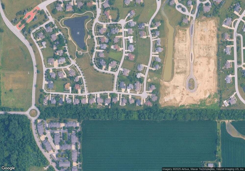
Map
Nearby Homes
- 1915 Toms Ct
- 1941 Bramble Trace
- 1810 Bramble Trace
- 1040 Kilarney Rd
- 1800 Bramble Trace
- 1940 Chamborde Ln
- 1920 Chamborde Ln
- 1939 Chamborde Ln
- 1910 Chamborde Ln
- 1960 Chamborde Ln
- 1930 Chamborde Ln
- 1909 Chamborde Ln
- 1901 Chamborde Ln
- 1650 Hogan Ave
- 1733 Amen Corner Ct
- 1452 Gossett Mill Ave
- 2307 Legend Cir
- 1694 Gustafson Ave
- 1633 Gustafson Ave
- 1475 Snead Ave
- 1230 Kilarney Rd
- 1935 Toms Ct
- 1950 Bramble Trace
- 1240 Kilarney Rd
- 1940 Bramble Trace
- 1225 Kilarney Rd
- 1215 Kilarney Rd
- 1920 Toms Ct
- 1235 Kilarney Rd
- 1235 Kilarney Rd
- 1920 Toms Ct
- 1165 Kilarney Rd
- 1930 Bramble Trace
- 1245 Kilarney Rd
- 1845 Toms Ct
- 1155 Kilarney Rd
- 1865 Carrick Ln
- 1945 Bramble Trace
- 1920 Bramble Trace
- 1255 Kilarney Rd