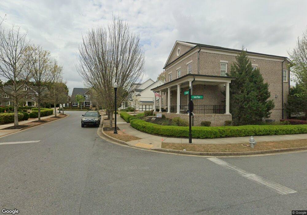
1220 Lee St Alpharetta, GA 30004
Estimated Value: $1,499,358 - $1,832,000
5
Beds
4
Baths
4,992
Sq Ft
$328/Sq Ft
Est. Value
About This Home
This home is located at 1220 Lee St, Alpharetta, GA 30004 and is currently estimated at $1,638,340, approximately $328 per square foot. 1220 Lee St is a home with nearby schools including Crabapple Crossing Elementary School, Northwestern Middle School, and Milton High School.
Ownership History
Date
Name
Owned For
Owner Type
Purchase Details
Closed on
Sep 19, 2019
Sold by
Ford Richard
Bought by
Ford Richard and Ford Tonja
Current Estimated Value
Purchase Details
Closed on
Jul 28, 2015
Sold by
Ashton Atlanta Residential Llc
Bought by
Ford Richard and Ford Tonja
Home Financials for this Owner
Home Financials are based on the most recent Mortgage that was taken out on this home.
Original Mortgage
$681,814
Interest Rate
4.11%
Mortgage Type
New Conventional
Create a Home Valuation Report for This Property
The Home Valuation Report is an in-depth analysis detailing your home's value as well as a comparison with similar homes in the area
Home Values in the Area
Average Home Value in this Area
Purchase History
| Date | Buyer | Sale Price | Title Company |
|---|---|---|---|
| Ford Richard | -- | -- | |
| Ford Richard | $852,267 | -- |
Source: Public Records
Mortgage History
| Date | Status | Borrower | Loan Amount |
|---|---|---|---|
| Previous Owner | Ford Richard | $681,814 |
Source: Public Records
Tax History Compared to Growth
Tax History
| Year | Tax Paid | Tax Assessment Tax Assessment Total Assessment is a certain percentage of the fair market value that is determined by local assessors to be the total taxable value of land and additions on the property. | Land | Improvement |
|---|---|---|---|---|
| 2025 | $2,564 | $553,760 | $133,440 | $420,320 |
| 2023 | $2,564 | $515,520 | $65,680 | $449,840 |
| 2022 | $11,226 | $426,680 | $57,160 | $369,520 |
| 2021 | $9,216 | $339,680 | $58,560 | $281,120 |
| 2020 | $10,045 | $361,440 | $45,680 | $315,760 |
| 2019 | $0 | $338,840 | $84,680 | $254,160 |
| 2018 | $9,341 | $330,920 | $82,720 | $248,200 |
| 2017 | $9,946 | $340,880 | $56,480 | $284,400 |
| 2016 | $9,948 | $340,880 | $56,480 | $284,400 |
| 2015 | $1,331 | $45,440 | $45,440 | $0 |
| 2014 | $1,307 | $42,640 | $42,640 | $0 |
Source: Public Records
Map
Nearby Homes
- 257 Lask Ln
- 249 Lask Ln
- 245 Lask Ln
- 237 Lask Ln
- 13015 Morningpark Cir Unit 1
- 233 Lask Ln
- 13025 Morningpark Cir
- 13125 Morningpark Cir
- 216 Lask Ln
- 143 Nakomis Place
- 507 Branyan Trail
- 12857 Waterside Dr
- 12842 Waterside Dr Unit 2
- 1950 Heritage Walk
- 666 Abbey Ct
- 580 Stillhouse Ln Unit 2
- 1565 Parkside Dr
- 12440 Brookhill Crossing Ln
- 113 Quinn Way
- 137 Quinn Way
- 1240 Lee St
- 1200 Lee St
- 1200 Lee St
- 1260 Lee St
- 1265 Lee St
- 2185 Sauls Place
- 1245 Lee St
- 2165 Sauls Place
- 12815 Morningpark Cir
- 12805 Morningpark Cir Unit 1
- 12825 Morningpark Cir
- 1225 Lee St
- 12795 Morningpark Cir
- 4005 Felton Cir
- 12835 Morningpark Cir
- 12785 Morningpark Cir
- 4025 Felton Cir
- 12845 Morningpark Cir
- 2125 Sauls Place