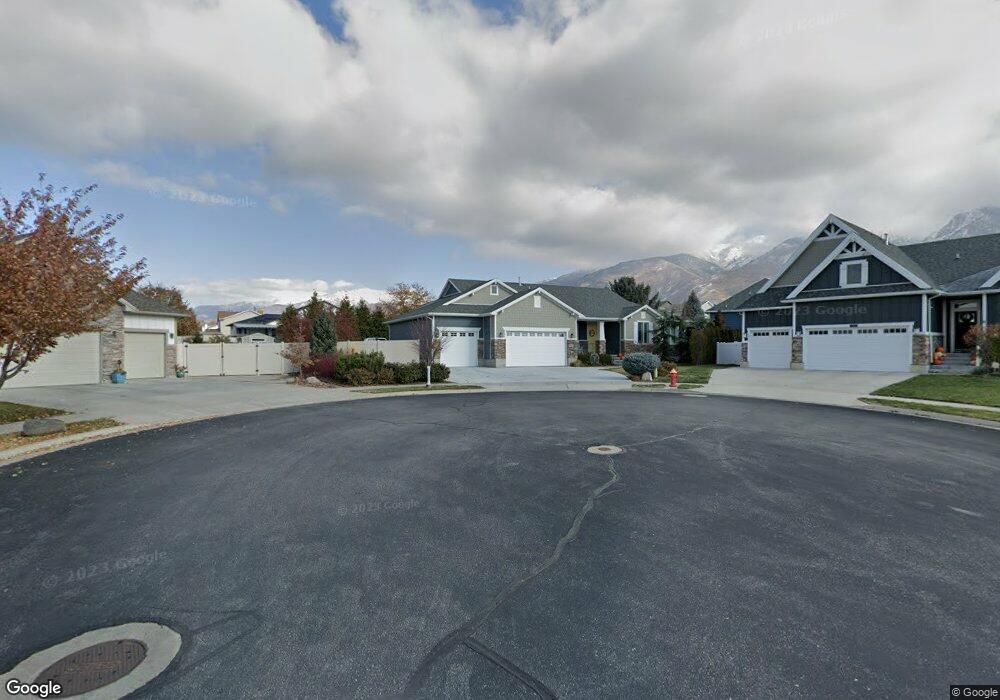
1220 N 1950 E Layton, UT 84040
Estimated Value: $744,000 - $909,000
3
Beds
3
Baths
1,973
Sq Ft
$410/Sq Ft
Est. Value
About This Home
This home is located at 1220 N 1950 E, Layton, UT 84040 and is currently estimated at $809,262, approximately $410 per square foot. 1220 N 1950 E is a home with nearby schools including East Layton Elementary School, Central Davis Junior High School, and Layton High School.
Ownership History
Date
Name
Owned For
Owner Type
Purchase Details
Closed on
Feb 8, 2016
Sold by
Brown Rickie and Brown Jill
Bought by
Brown Jill R and Brown Revocable Trust
Current Estimated Value
Purchase Details
Closed on
May 27, 2014
Sold by
Woodside Homes Of Utah Llc
Bought by
Brown Rickie and Brown Jill
Home Financials for this Owner
Home Financials are based on the most recent Mortgage that was taken out on this home.
Original Mortgage
$299,368
Interest Rate
4.23%
Mortgage Type
New Conventional
Create a Home Valuation Report for This Property
The Home Valuation Report is an in-depth analysis detailing your home's value as well as a comparison with similar homes in the area
Home Values in the Area
Average Home Value in this Area
Purchase History
| Date | Buyer | Sale Price | Title Company |
|---|---|---|---|
| Brown Jill R | -- | -- | |
| Brown Rickie | -- | Us Title Company Of |
Source: Public Records
Mortgage History
| Date | Status | Borrower | Loan Amount |
|---|---|---|---|
| Previous Owner | Brown Rickie | $299,368 |
Source: Public Records
Tax History
| Year | Tax Paid | Tax Assessment Tax Assessment Total Assessment is a certain percentage of the fair market value that is determined by local assessors to be the total taxable value of land and additions on the property. | Land | Improvement |
|---|---|---|---|---|
| 2025 | $3,825 | $401,500 | $143,783 | $257,717 |
| 2024 | $3,584 | $378,950 | $166,386 | $212,564 |
| 2023 | $3,734 | $696,000 | $219,331 | $476,669 |
| 2022 | $3,951 | $399,850 | $118,085 | $281,765 |
| 2021 | $3,538 | $534,000 | $180,415 | $353,585 |
| 2020 | $3,259 | $472,000 | $148,894 | $323,106 |
| 2019 | $3,130 | $444,000 | $132,397 | $311,603 |
| 2018 | $3,146 | $448,000 | $105,279 | $342,721 |
| 2016 | $2,870 | $210,815 | $54,947 | $155,868 |
| 2015 | $2,832 | $197,505 | $54,947 | $142,558 |
| 2014 | $1,809 | $129,004 | $129,004 | $0 |
Source: Public Records
Map
Nearby Homes
- 1148 N 1875 E Unit 2
- 2113 E 1200 N
- 1975 E 1425 N
- 2124 E Cherry Ln
- 2203 E 1200 N
- 1156 Cherrywood Dr
- 1843 Hayes Dr
- 1332 N 2350 E
- 1545 E 975 N
- 2391 Kays Creek Dr
- 1476 Kays Creek Dr
- 1350 Kays Creek Dr
- 1907 N Bridge Ct
- 1258 E North Lisa St
- 2877 E Gentile St Unit 2
- 1354 E Hollyhock Way
- 1340 E Hollyhock Way
- 1540 E Primrose Ln
- 1305 E Larkspur Way
- 1266 E Larkspur Way
- 1214 N 1950 E
- 1946 E 1275 N
- 1964 E 1275 N
- 1223 N 1950 E
- 1217 N 2000 E Unit 405
- 1928 E 1275 N
- 1980 E 1275 N
- 1198 N 1950 E
- 1199 N 2000 E Unit 403
- 1199 N 2000 E
- 1209 E 1950 N Unit 305
- 1912 E 1275 N
- 1961 E 1275 N
- 1182 E 1950 N
- 1278 N 1925 E
- 1218 N 2000 E
- 1998 E 1275 N
- 1193 N 1950 E
- 1981 E 1275 N
- 1179 N 2000 E
Your Personal Tour Guide
Ask me questions while you tour the home.