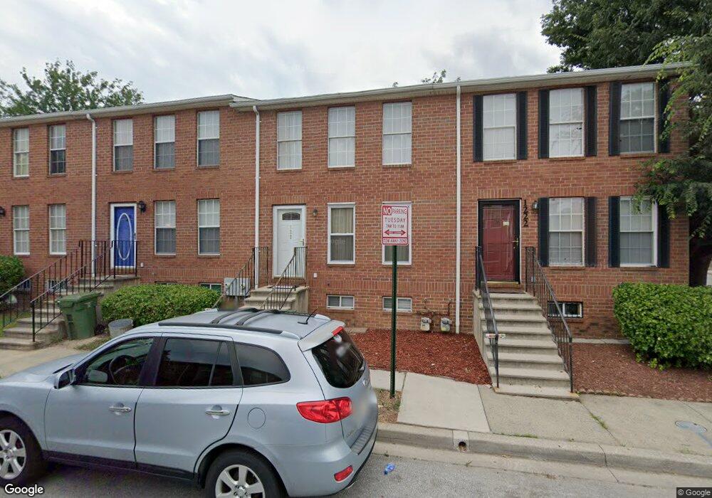
1220 N Parrish St Baltimore, MD 21217
Sandtown-Winchester NeighborhoodEstimated Value: $83,000
Studio
--
Bath
--
Sq Ft
1,220
Sq Ft Lot
About This Home
This home is located at 1220 N Parrish St, Baltimore, MD 21217 and is currently estimated at $83,000. 1220 N Parrish St is a home located in Baltimore City with nearby schools including Sandtown-Winchester Achievement Academy, Booker T. Washington Middle School, and Frederick Douglass High School.
Ownership History
Date
Name
Owned For
Owner Type
Purchase Details
Closed on
Oct 20, 2017
Sold by
Green Tony
Bought by
The Secretary Of The Us Deparment Of Hud
Current Estimated Value
Home Financials for this Owner
Home Financials are based on the most recent Mortgage that was taken out on this home.
Original Mortgage
$68,892
Outstanding Balance
$58,416
Interest Rate
4.4%
Mortgage Type
FHA
Estimated Equity
$24,584
Purchase Details
Closed on
Aug 26, 1992
Sold by
Enterprise Nehemiah
Bought by
Green Tonya
Create a Home Valuation Report for This Property
The Home Valuation Report is an in-depth analysis detailing your home's value as well as a comparison with similar homes in the area
Home Values in the Area
Average Home Value in this Area
Purchase History
| Date | Buyer | Sale Price | Title Company |
|---|---|---|---|
| The Secretary Of The Us Deparment Of Hud | $14,000 | Xpress Titke Services Llc | |
| Green Tonya | $58,500 | -- |
Source: Public Records
Mortgage History
| Date | Status | Borrower | Loan Amount |
|---|---|---|---|
| Open | The Secretary Of The Us Deparment Of Hud | $68,892 |
Source: Public Records
Tax History
| Year | Tax Paid | Tax Assessment Tax Assessment Total Assessment is a certain percentage of the fair market value that is determined by local assessors to be the total taxable value of land and additions on the property. | Land | Improvement |
|---|---|---|---|---|
| 2025 | $1,296 | $83,400 | -- | -- |
| 2024 | $1,296 | $76,800 | -- | -- |
| 2023 | $1,266 | $70,200 | $14,000 | $56,200 |
| 2022 | $1,211 | $66,800 | $0 | $0 |
| 2021 | $1,496 | $63,400 | $0 | $0 |
| 2020 | $1,126 | $60,000 | $12,000 | $48,000 |
| 2019 | $1,074 | $60,000 | $12,000 | $48,000 |
| 2018 | $1,052 | $60,000 | $12,000 | $48,000 |
| 2017 | $1,002 | $70,200 | $0 | $0 |
| 2016 | $904 | $60,800 | $0 | $0 |
| 2015 | $904 | $51,400 | $0 | $0 |
| 2014 | $904 | $42,000 | $0 | $0 |
Source: Public Records
Map
Nearby Homes
- 1631 Laurens St
- 1219 N Parrish St
- 1137 N Mount St
- 1118 N Gilmor St
- 1152 N Stricker St
- 1107 N Gilmor St
- 1327 N Fulton Ave
- 1329 N Fulton Ave
- 1605 Riggs Ave
- 1708 Lorman St
- 1527 Riggs Ave
- 1428 N Mount St
- 1022 N Gilmor St
- 1326 N Fulton Ave
- 1019 N Mount St
- 1114 N Fulton Ave
- 1011 N Mount St
- 1007 N Mount St
- 1718 Presstman St
- 1716 Presstman St
- 1222 N Parrish St
- 1218 N Parrish St
- 1216 N Parrish St
- 1214 N Parrish St
- 1221 N Gilmor St
- 1219 N Gilmor St
- 1217 N Gilmor St
- 1215 N Gilmor St
- 1212 N Parrish St
- 1223 N Parrish St
- 1225 N Parrish St
- 1221 N Parrish St
- 1213 N Gilmor St
- 1217 N Parrish St
- 1210 N Parrish St
- 1215 N Parrish St
- 1211 N Gilmor St
- 1208 N Parrish St
- 1213 N Parrish St
- 1209 N Gilmor St
Your Personal Tour Guide
Ask me questions while you tour the home.