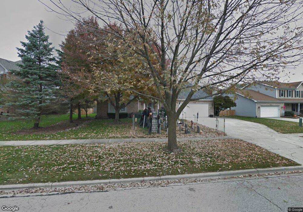
1220 Newton Ave Batavia, IL 60510
Southwest Batavia NeighborhoodEstimated Value: $502,640 - $541,000
3
Beds
3
Baths
2,536
Sq Ft
$208/Sq Ft
Est. Value
About This Home
This home is located at 1220 Newton Ave, Batavia, IL 60510 and is currently estimated at $526,410, approximately $207 per square foot. 1220 Newton Ave is a home located in Kane County with nearby schools including Sam Rotolo Middle School, Batavia Sr High School, and Mooseheart Child City & School.
Ownership History
Date
Name
Owned For
Owner Type
Purchase Details
Closed on
Oct 5, 2017
Sold by
Carlson Janet A and Carlson Alan
Bought by
Vaughan Robert W and Robert W Vaugham Trust
Current Estimated Value
Purchase Details
Closed on
Jun 17, 2014
Sold by
Carlson Arthur W and Carlson Janet A
Bought by
Carlson Arthur W and Arthur W Carlson Trust
Purchase Details
Closed on
Mar 14, 2002
Sold by
Andersen Randall H and Andersen Jennifer L
Bought by
Carlson Alice L and Alice L Carlson Trust
Create a Home Valuation Report for This Property
The Home Valuation Report is an in-depth analysis detailing your home's value as well as a comparison with similar homes in the area
Home Values in the Area
Average Home Value in this Area
Purchase History
| Date | Buyer | Sale Price | Title Company |
|---|---|---|---|
| Vaughan Robert W | $295,000 | Chicago Title Ins Co | |
| Carlson Arthur W | -- | None Available | |
| Carlson Alice L | $307,000 | Law Title Insurance Co |
Source: Public Records
Tax History Compared to Growth
Tax History
| Year | Tax Paid | Tax Assessment Tax Assessment Total Assessment is a certain percentage of the fair market value that is determined by local assessors to be the total taxable value of land and additions on the property. | Land | Improvement |
|---|---|---|---|---|
| 2024 | $10,082 | $135,521 | $21,680 | $113,841 |
| 2023 | $9,868 | $123,000 | $19,677 | $103,323 |
| 2022 | $9,410 | $113,765 | $18,390 | $95,375 |
| 2021 | $8,651 | $103,588 | $17,441 | $86,147 |
| 2020 | $8,437 | $101,597 | $17,106 | $84,491 |
| 2019 | $8,297 | $98,000 | $16,500 | $81,500 |
| 2018 | $8,301 | $98,000 | $16,816 | $81,184 |
| 2017 | $8,810 | $107,562 | $16,261 | $91,301 |
| 2016 | $8,609 | $104,429 | $15,787 | $88,642 |
| 2015 | -- | $102,052 | $15,428 | $86,624 |
| 2014 | -- | $98,839 | $14,942 | $83,897 |
| 2013 | -- | $100,573 | $18,313 | $82,260 |
Source: Public Records
Map
Nearby Homes
- 384 Danforth Dr
- 396 Danforth Dr
- 303 Danforth Dr
- 344 Danforth Dr
- 369 Danforth Dr
- 1375 Green Pheasant Ln
- 818 Bernadette Ln
- 1316 Brandywine Cir Unit 4
- 1280 Brandywine Cir
- 1232 S Batavia Ave
- 750 Blaine St
- 218 Weirich Way Unit 88001
- 116 Furnas Dr
- 119 Furnas Dr
- 143 Furnas Dr
- 131 Furnas Dr
- 33 Weirich Way Unit 77004
- 41 Weirich Way Unit 77005
- 146 Furnas Dr
- 125 Furnas Dr
- 1230 Newton Ave
- 1210 Newton Ave
- 986 Lockwood Ln
- 990 Lockwood Ln
- 982 Lockwood Ln
- 1219 Newton Ave
- 1215 Newton Ave
- 1225 Newton Ave
- 1209 Newton Ave
- 1250 Newton Ave
- 1235 Newton Ave
- 980 Lockwood Ln Unit 6
- 1161 Newton Ct
- 1000 Lockwood Ln
- 1111 Newton Ct Unit 8
- 1245 Newton Ave
- 1250 Averill Dr
- 1236 Averill Dr
- 1222 Averill Dr
- 991 Lockwood Ln