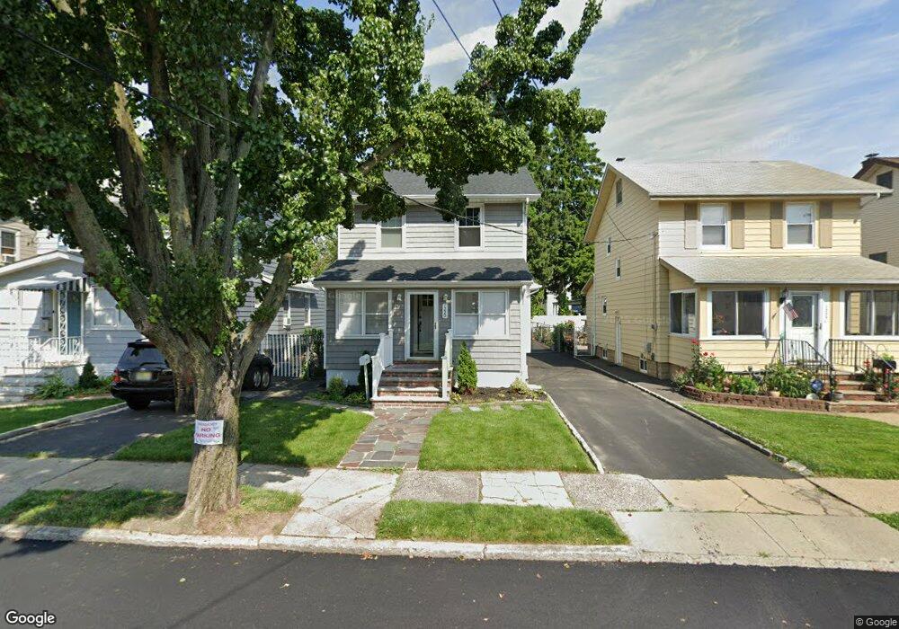
1220 Plane St Union, NJ 07083
Union NeighborhoodEstimated Value: $511,000 - $611,000
Studio
--
Bath
--
Sq Ft
4,487
Sq Ft Lot
About This Home
This home is located at 1220 Plane St, Union, NJ 07083 and is currently estimated at $537,733. 1220 Plane St is a home located in Union County with nearby schools including Connecticut Farms Elementary School, Union High School, and St Michael Parish School.
Ownership History
Date
Name
Owned For
Owner Type
Purchase Details
Closed on
May 19, 2010
Sold by
Vreeland Dorothy J
Bought by
Cherisme Ronald and Gomez Cherisme Carina
Current Estimated Value
Home Financials for this Owner
Home Financials are based on the most recent Mortgage that was taken out on this home.
Original Mortgage
$228,150
Outstanding Balance
$153,443
Interest Rate
5.12%
Mortgage Type
New Conventional
Estimated Equity
$384,290
Create a Home Valuation Report for This Property
The Home Valuation Report is an in-depth analysis detailing your home's value as well as a comparison with similar homes in the area
Home Values in the Area
Average Home Value in this Area
Purchase History
| Date | Buyer | Sale Price | Title Company |
|---|---|---|---|
| Cherisme Ronald | $253,500 | Fidelity Natl Title Ins Co |
Source: Public Records
Mortgage History
| Date | Status | Borrower | Loan Amount |
|---|---|---|---|
| Open | Cherisme Ronald | $228,150 |
Source: Public Records
Tax History
| Year | Tax Paid | Tax Assessment Tax Assessment Total Assessment is a certain percentage of the fair market value that is determined by local assessors to be the total taxable value of land and additions on the property. | Land | Improvement |
|---|---|---|---|---|
| 2025 | $8,270 | $37,000 | $15,800 | $21,200 |
| 2024 | $8,018 | $37,000 | $15,800 | $21,200 |
| 2023 | $8,018 | $37,000 | $15,800 | $21,200 |
| 2022 | $7,739 | $37,000 | $15,800 | $21,200 |
| 2021 | $7,551 | $37,000 | $15,800 | $21,200 |
| 2020 | $7,401 | $37,000 | $15,800 | $21,200 |
| 2019 | $7,301 | $37,000 | $15,800 | $21,200 |
| 2018 | $7,177 | $37,000 | $15,800 | $21,200 |
| 2017 | $7,071 | $37,000 | $15,800 | $21,200 |
| 2016 | $6,898 | $37,000 | $15,800 | $21,200 |
| 2015 | $6,784 | $37,000 | $15,800 | $21,200 |
| 2014 | $6,632 | $37,000 | $15,800 | $21,200 |
Source: Public Records
Map
Nearby Homes
- 2047 Gless Ave
- 1244 Grandview Ave
- 2096 Lentz Ave
- 1044 Grandview Ave
- 2011 Kay Ave
- 2144 Tyler St
- 2200 Vauxhall Rd
- 1263 Coolidge Ave
- 1011 Adams Ave
- 1265 Shetland Dr
- 1010 Falls Terrace
- 1239 Victor Ave
- 987 Floyd Terrace
- 1395 Isabella Ave
- 1121 Jeanette Ave
- 937 Roosevelt Ave
- 1841 Cider Mill Rd
- 891 Pennsylvania Ave
- 1801 Quaker Way
- 2273 Balmoral Ave
- 1218 Plane St
- 1224 Plane St
- 1214 Plane St
- 1226 Plane St
- 1212 Plane St
- 1230 Plane St
- 1217 Barbara Ave
- 1215 Barbara Ave
- 1221 Barbara Ave
- 1213 Barbara Ave
- 1210 Plane St
- 1232 Plane St
- 1223 Barbara Ave
- 1209 Barbara Ave
- 1227 Barbara Ave
- 1236 Plane St
- 1211 Plane St
- 1229 Barbara Ave
- 1223 Plane St
- 1219 Plane St
Your Personal Tour Guide
Ask me questions while you tour the home.