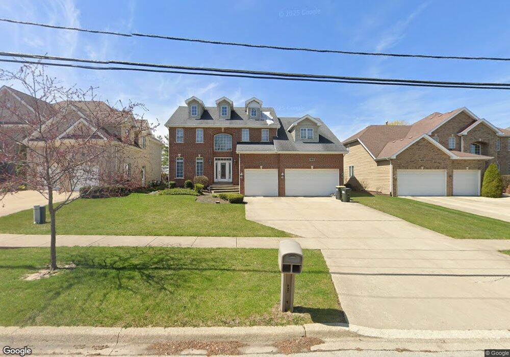
1220 Ridge Rd Westmont, IL 60559
South Westmont NeighborhoodEstimated Value: $850,000 - $1,141,000
Studio
--
Bath
3,399
Sq Ft
$277/Sq Ft
Est. Value
About This Home
This home is located at 1220 Ridge Rd, Westmont, IL 60559 and is currently estimated at $941,236, approximately $276 per square foot. 1220 Ridge Rd is a home located in DuPage County with nearby schools including Holmes Elementary School, Maercker Elementary School, and Westview Hills Middle School.
Ownership History
Date
Name
Owned For
Owner Type
Purchase Details
Closed on
Feb 26, 2002
Sold by
Prairie Bank & Trust Company
Bought by
Leon Ken and Li Hong Y
Current Estimated Value
Home Financials for this Owner
Home Financials are based on the most recent Mortgage that was taken out on this home.
Original Mortgage
$427,000
Interest Rate
7.11%
Create a Home Valuation Report for This Property
The Home Valuation Report is an in-depth analysis detailing your home's value as well as a comparison with similar homes in the area
Home Values in the Area
Average Home Value in this Area
Purchase History
| Date | Buyer | Sale Price | Title Company |
|---|---|---|---|
| Leon Ken | $539,000 | -- |
Source: Public Records
Mortgage History
| Date | Status | Borrower | Loan Amount |
|---|---|---|---|
| Closed | Leon Ken | $427,000 |
Source: Public Records
Tax History
| Year | Tax Paid | Tax Assessment Tax Assessment Total Assessment is a certain percentage of the fair market value that is determined by local assessors to be the total taxable value of land and additions on the property. | Land | Improvement |
|---|---|---|---|---|
| 2024 | $14,872 | $237,772 | $54,880 | $182,892 |
| 2023 | $14,245 | $218,580 | $50,450 | $168,130 |
| 2022 | $13,959 | $214,080 | $49,420 | $164,660 |
| 2021 | $13,487 | $211,650 | $48,860 | $162,790 |
| 2020 | $13,232 | $207,460 | $47,890 | $159,570 |
| 2019 | $12,803 | $199,060 | $45,950 | $153,110 |
| 2018 | $13,417 | $208,410 | $45,740 | $162,670 |
| 2017 | $12,741 | $200,540 | $44,010 | $156,530 |
| 2016 | $12,523 | $191,390 | $42,000 | $149,390 |
| 2015 | $12,387 | $180,060 | $39,510 | $140,550 |
| 2014 | $12,069 | $175,060 | $38,410 | $136,650 |
| 2013 | $12,754 | $189,350 | $38,230 | $151,120 |
Source: Public Records
Map
Nearby Homes
- 1028 Beninford Ln
- 47 W Pier Dr Unit 102
- 107 65th Lake Dr Unit 202
- 1313 Cass Ln E Unit 302
- 61 W Pier Dr Unit 201
- 1061 Sean Cir
- 73 W Pier Dr Unit 201
- 1109 Ponderosa Ct
- 6106 Western Ave
- 1117 Bristlecone Ct
- 1156 Bristlecone Ct
- 1125 Foxtail Ct
- 6136 Bentley Ave
- 1076 Larkspur Ln Unit C42C
- 1530 Apple Grove Ln
- 825 Columbia Ln
- 335 63rd St
- 6808 Scotch Pine Trail
- 350 61st (Lot 5) St
- 346 61st (Lot 3) St
Your Personal Tour Guide
Ask me questions while you tour the home.