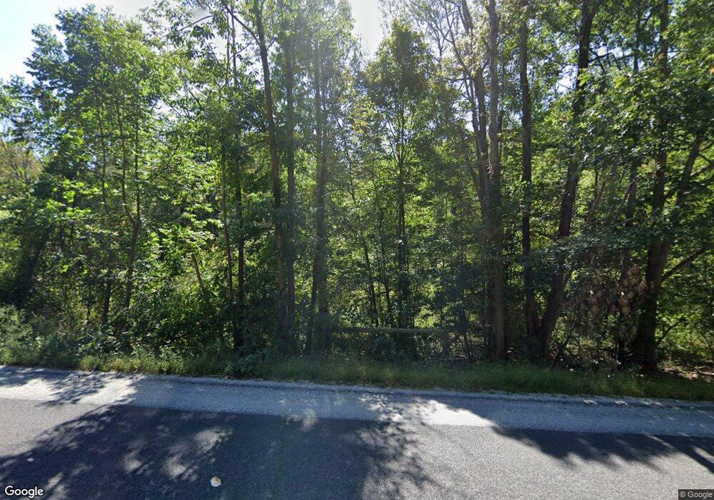
1220 Route 171 Woodstock, CT 06281
Estimated Value: $322,068 - $440,000
2
Beds
2
Baths
1,066
Sq Ft
$355/Sq Ft
Est. Value
About This Home
This home is located at 1220 Route 171, Woodstock, CT 06281 and is currently estimated at $378,267, approximately $354 per square foot. 1220 Route 171 is a home located in Windham County with nearby schools including Woodstock Elementary School and Woodstock Middle School.
Create a Home Valuation Report for This Property
The Home Valuation Report is an in-depth analysis detailing your home's value as well as a comparison with similar homes in the area
Home Values in the Area
Average Home Value in this Area
Tax History Compared to Growth
Tax History
| Year | Tax Paid | Tax Assessment Tax Assessment Total Assessment is a certain percentage of the fair market value that is determined by local assessors to be the total taxable value of land and additions on the property. | Land | Improvement |
|---|---|---|---|---|
| 2025 | $3,366 | $137,900 | $25,800 | $112,100 |
| 2024 | $3,177 | $137,900 | $25,800 | $112,100 |
| 2023 | $3,090 | $137,900 | $25,800 | $112,100 |
| 2022 | $2,875 | $137,900 | $25,800 | $112,100 |
| 2021 | $3,116 | $122,200 | $26,300 | $95,900 |
| 2020 | $2,465 | $100,600 | $26,300 | $74,300 |
| 2019 | $2,465 | $100,600 | $26,300 | $74,300 |
| 2018 | $2,465 | $100,600 | $26,300 | $74,300 |
| 2017 | $2,445 | $100,600 | $26,300 | $74,300 |
| 2016 | $2,305 | $95,900 | $32,800 | $63,100 |
| 2015 | $2,240 | $95,900 | $32,800 | $63,100 |
| 2014 | $2,215 | $95,900 | $32,800 | $63,100 |
Source: Public Records
Map
Nearby Homes
- 00 Route 171 Unit Lot 1
- 4 Perrin Rd
- 145 Perrin Rd
- 0 Aplin Hill Ln
- 80 Bungay Hill Rd
- 70 Laurel Hill Dr
- 56 Laurel Hill Dr
- 0 Connecticut 171
- 10 Laurel Hill Dr
- 30 Lyon Rd
- 0 Hemlock Dr
- 19 Hiawatha Heights
- 23 Little Bungee Hill Rd
- 189 Center Rd
- 60 Indian Spring Rd
- 402 Perrin Rd
- 29 Crooked Trail Extension
- 101 Center Rd
- 381 Bungay Hill Rd
- 175 Pulpit Rock Rd
