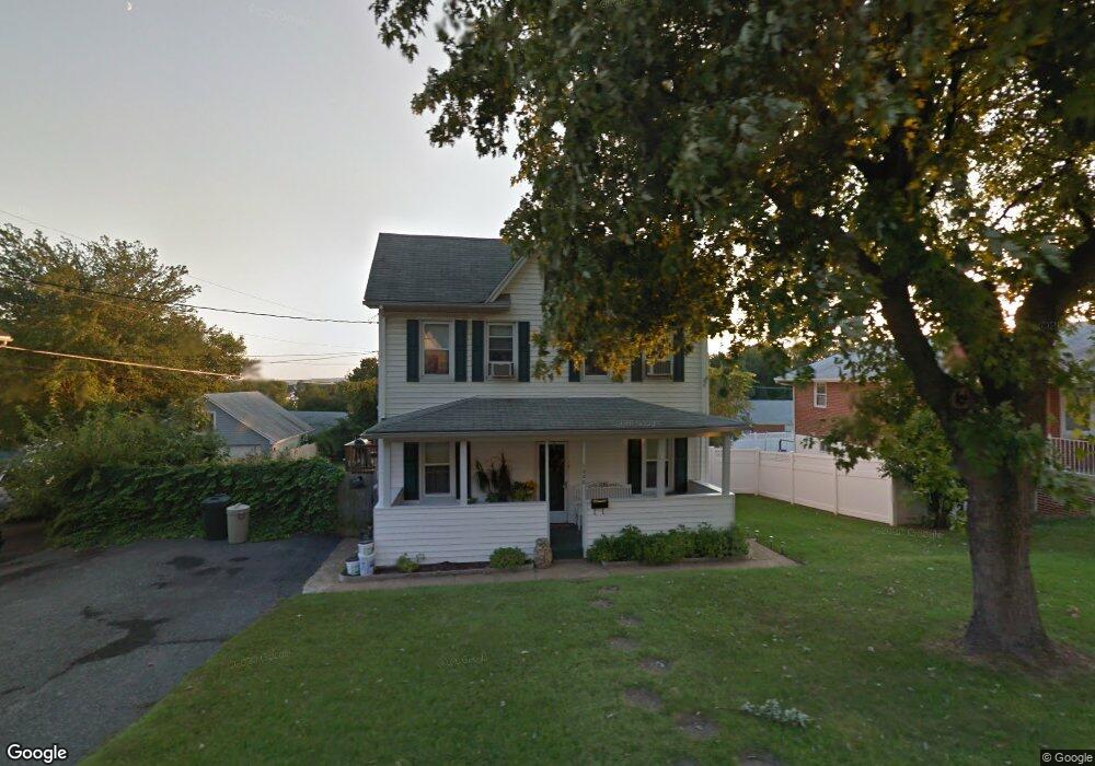
1220 S 48th St Dundalk, MD 21222
Estimated Value: $199,000 - $342,000
Studio
2
Baths
1,834
Sq Ft
$154/Sq Ft
Est. Value
About This Home
This home is located at 1220 S 48th St, Dundalk, MD 21222 and is currently estimated at $281,626, approximately $153 per square foot. 1220 S 48th St is a home located in Baltimore County with nearby schools including Norwood Elementary School, Holabird Middle School, and Dundalk High School.
Ownership History
Date
Name
Owned For
Owner Type
Purchase Details
Closed on
May 23, 2019
Sold by
Sikerakowski Caryn Lynn
Bought by
Sevdalis George and Sevdalis Patrice L
Current Estimated Value
Home Financials for this Owner
Home Financials are based on the most recent Mortgage that was taken out on this home.
Original Mortgage
$93,750
Outstanding Balance
$82,258
Interest Rate
4.1%
Mortgage Type
New Conventional
Estimated Equity
$199,368
Purchase Details
Closed on
Oct 26, 1979
Sold by
Scott Lawrence H
Bought by
Wilson Patricia A
Create a Home Valuation Report for This Property
The Home Valuation Report is an in-depth analysis detailing your home's value as well as a comparison with similar homes in the area
Home Values in the Area
Average Home Value in this Area
Purchase History
| Date | Buyer | Sale Price | Title Company |
|---|---|---|---|
| Sevdalis George | $125,000 | New World Title Company Llc | |
| Wilson Patricia A | $45,500 | -- |
Source: Public Records
Mortgage History
| Date | Status | Borrower | Loan Amount |
|---|---|---|---|
| Open | Sevdalis George | $93,750 |
Source: Public Records
Tax History
| Year | Tax Paid | Tax Assessment Tax Assessment Total Assessment is a certain percentage of the fair market value that is determined by local assessors to be the total taxable value of land and additions on the property. | Land | Improvement |
|---|---|---|---|---|
| 2025 | $3,103 | $213,167 | -- | -- |
| 2024 | $3,103 | $193,733 | $0 | $0 |
| 2023 | $2,743 | $174,300 | $62,600 | $111,700 |
| 2022 | $2,451 | $167,033 | $0 | $0 |
| 2020 | $4,493 | $152,500 | $62,600 | $89,900 |
| 2019 | $1,809 | $149,233 | $0 | $0 |
| 2018 | $2,419 | $145,967 | $0 | $0 |
| 2017 | $2,250 | $142,700 | $0 | $0 |
| 2016 | -- | $142,033 | $0 | $0 |
| 2015 | $2,207 | $141,367 | $0 | $0 |
| 2014 | $2,207 | $140,700 | $0 | $0 |
Source: Public Records
Map
Nearby Homes
- 1214 S 48th St
- 0 Hillshire Rd
- 1305 Delvale Ave
- 1220 Hillshire Rd
- 6817 Duluth Ave
- 1703 Bethlehem Ave
- 6826 Boston Ave
- 1823 Walnut Ave
- 1242 Delbert Ave
- 1708 Rita Rd
- 1914 Snyder Ave
- 511 47th St
- 1900 Monumental Rd
- 1802 Portship Rd
- 1502 Vesper Ave
- 1116 Dundalk Ave
- 6700 Hudson St
- 7007 Bank St
- 6929 Bank St
- 7404 Poplar Ave
- 1218 S 48th St
- 4010 Broening Hwy
- 1222 S 48th St
- 6913 Delvale Place
- 6911 Delvale Place
- 1219 S 48th St
- 6915 Delvale Place
- 1216 S 48th St
- 1217 S 48th St
- 1221 S 48th St
- 1221 48th St S
- 6917 Delvale Place
- 1215 S 48th St
- 6909 Delvale Place
- 1224 S 48th St
- 6916 Norman Ave
- 6919 Delvale Place
- 6914 Norman Ave
- 1213 S 48th St
- 1212 S 48th St
Your Personal Tour Guide
Ask me questions while you tour the home.