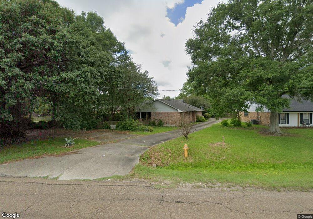
1220 Sharp Rd Baton Rouge, LA 70815
Broadmoor/Sherwood NeighborhoodEstimated Value: $253,000 - $261,000
3
Beds
3
Baths
2,331
Sq Ft
$111/Sq Ft
Est. Value
About This Home
This home is located at 1220 Sharp Rd, Baton Rouge, LA 70815 and is currently estimated at $257,747, approximately $110 per square foot. 1220 Sharp Rd is a home located in East Baton Rouge Parish with nearby schools including Broadmoor Elementary School, Southeast Middle School, and Broadmoor Senior High School.
Ownership History
Date
Name
Owned For
Owner Type
Purchase Details
Closed on
Oct 21, 2005
Sold by
Morris Darlene L
Bought by
Cashio Edith Z
Current Estimated Value
Home Financials for this Owner
Home Financials are based on the most recent Mortgage that was taken out on this home.
Original Mortgage
$137,500
Outstanding Balance
$73,271
Interest Rate
5.69%
Mortgage Type
New Conventional
Estimated Equity
$184,476
Purchase Details
Closed on
Dec 17, 1998
Sold by
Denny Kerry Lynn
Bought by
Morris Darlene Leslie
Create a Home Valuation Report for This Property
The Home Valuation Report is an in-depth analysis detailing your home's value as well as a comparison with similar homes in the area
Home Values in the Area
Average Home Value in this Area
Purchase History
| Date | Buyer | Sale Price | Title Company |
|---|---|---|---|
| Cashio Edith Z | $172,000 | -- | |
| Morris Darlene Leslie | $135,900 | -- |
Source: Public Records
Mortgage History
| Date | Status | Borrower | Loan Amount |
|---|---|---|---|
| Open | Cashio Edith Z | $137,500 | |
| Closed | Cashio Edith Z | $25,800 |
Source: Public Records
Tax History
| Year | Tax Paid | Tax Assessment Tax Assessment Total Assessment is a certain percentage of the fair market value that is determined by local assessors to be the total taxable value of land and additions on the property. | Land | Improvement |
|---|---|---|---|---|
| 2024 | $235 | $22,316 | $2,000 | $20,316 |
| 2023 | $190 | $18,800 | $2,000 | $16,800 |
| 2022 | $2,345 | $18,800 | $2,000 | $16,800 |
| 2021 | $2,293 | $18,800 | $2,000 | $16,800 |
| 2020 | $2,279 | $18,800 | $2,000 | $16,800 |
| 2019 | $2,377 | $18,800 | $2,000 | $16,800 |
| 2018 | $2,349 | $18,800 | $2,000 | $16,800 |
| 2017 | $2,349 | $18,800 | $2,000 | $16,800 |
| 2016 | $829 | $12,920 | $2,000 | $10,920 |
| 2015 | $1,331 | $17,200 | $2,000 | $15,200 |
| 2014 | $1,326 | $17,200 | $2,000 | $15,200 |
| 2013 | -- | $17,200 | $2,000 | $15,200 |
Source: Public Records
Map
Nearby Homes
- 10525 Rondo Ave
- 10656 Rondo Ave
- 10841 Classique Dr
- 869 Heather Dr
- 1653 Sharp Rd
- 886 Hedgewood Dr
- 1595 Bellfort Dr
- 11019 Goodwood Blvd
- 11025 Goodwood Blvd
- 1749 Stonegate Ct
- 11146 Goodwood Blvd
- 1867 Stonegate Ct
- 1905 Stonegate Ct
- 555 Woodhaven St
- 10926 Old Hammond Hwy Unit 20
- 10926 Old Hammond Hwy Unit 27
- 10926 Old Hammond Hwy Unit 3
- 10926 Old Hammond Hwy Unit 7
- 10255 S Riveroaks Dr
- 1655 Marilyn Dr
- 1270 Sharp Rd
- 1152 Sharp Rd
- 1235 Melanie St
- 1165 Melanie St
- 1266 Sharp Rd
- 1245 Melanie St
- 1155 Melanie St
- 1145 Melanie St
- 1296 Sharp Rd
- 10845 Lynell St
- 1234 Melanie St
- 10657 Kenlee Dr
- 1255 Melanie St
- 1244 Melanie St
- 1135 Melanie St
- 1050 Sharp Rd
- 1144 Melanie St
- 10645 Kenlee Dr
- 1254 Melanie St
- 1020 Sharp Rd
Your Personal Tour Guide
Ask me questions while you tour the home.