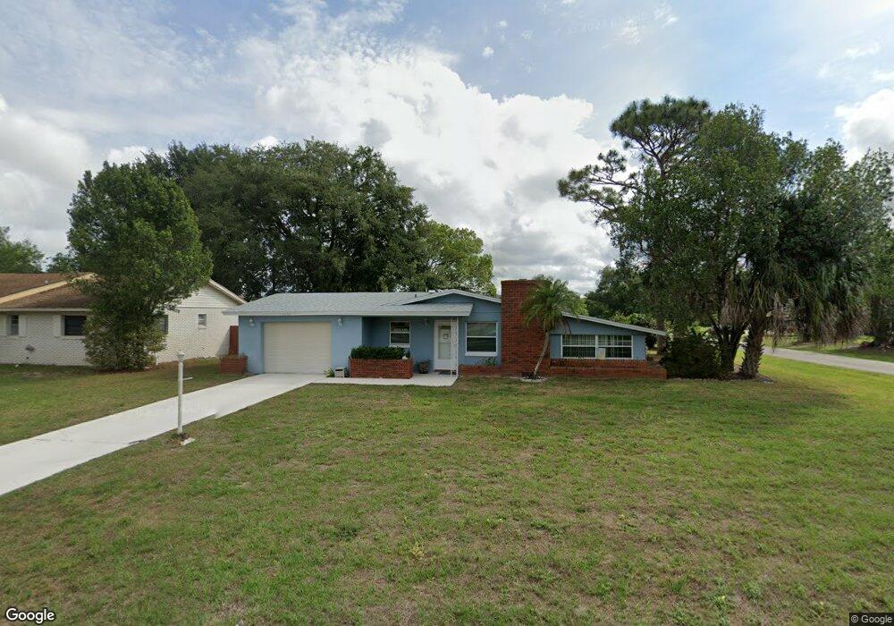
1220 Sherbrook Dr Deltona, FL 32725
Estimated Value: $223,000 - $242,000
2
Beds
3
Baths
1,252
Sq Ft
$185/Sq Ft
Est. Value
About This Home
This home is located at 1220 Sherbrook Dr, Deltona, FL 32725 and is currently estimated at $231,311, approximately $184 per square foot. 1220 Sherbrook Dr is a home located in Volusia County with nearby schools including Spirit Elementary School, Deltona Middle School, and Deltona High School.
Ownership History
Date
Name
Owned For
Owner Type
Purchase Details
Closed on
Aug 8, 2001
Sold by
Sullivan Donald M
Bought by
Deluca Jeanette
Current Estimated Value
Home Financials for this Owner
Home Financials are based on the most recent Mortgage that was taken out on this home.
Original Mortgage
$53,600
Outstanding Balance
$20,969
Interest Rate
7.19%
Mortgage Type
New Conventional
Estimated Equity
$210,342
Purchase Details
Closed on
Feb 8, 2001
Sold by
Sullivan Donald M
Bought by
Sullivan Donald M
Purchase Details
Closed on
Jun 15, 1973
Bought by
Deluca Jeanette
Create a Home Valuation Report for This Property
The Home Valuation Report is an in-depth analysis detailing your home's value as well as a comparison with similar homes in the area
Home Values in the Area
Average Home Value in this Area
Purchase History
| Date | Buyer | Sale Price | Title Company |
|---|---|---|---|
| Deluca Jeanette | $67,000 | -- | |
| Sullivan Donald M | -- | -- | |
| Deluca Jeanette | $1,800 | -- |
Source: Public Records
Mortgage History
| Date | Status | Borrower | Loan Amount |
|---|---|---|---|
| Open | Deluca Jeanette | $53,600 |
Source: Public Records
Tax History Compared to Growth
Tax History
| Year | Tax Paid | Tax Assessment Tax Assessment Total Assessment is a certain percentage of the fair market value that is determined by local assessors to be the total taxable value of land and additions on the property. | Land | Improvement |
|---|---|---|---|---|
| 2025 | $842 | $57,072 | -- | -- |
| 2024 | $842 | $55,464 | -- | -- |
| 2023 | $842 | $53,849 | $0 | $0 |
| 2022 | $847 | $52,281 | $0 | $0 |
| 2021 | $875 | $50,758 | $0 | $0 |
| 2020 | $873 | $50,057 | $0 | $0 |
| 2019 | $873 | $48,932 | $0 | $0 |
| 2018 | $846 | $48,020 | $0 | $0 |
| 2017 | $813 | $47,032 | $0 | $0 |
| 2016 | $782 | $46,065 | $0 | $0 |
| 2015 | $789 | $45,745 | $0 | $0 |
| 2014 | $757 | $45,382 | $0 | $0 |
Source: Public Records
Map
Nearby Homes
- 2030 Deborah Terrace
- 2040 Deborah Terrace
- 2050 Deborah Terrace
- 1977 S Old Mill Dr
- 1171 Elkcam Blvd
- 1170 Elkcam Blvd Unit 100
- 1275 Elkcam Blvd
- 1940 S Old Mill Dr
- 1936 S Old Mill Dr
- 1108 Sherbrook Dr
- 1217 Gladstone Dr
- 1302 Belmar Terrace
- 1266 Gladstone Dr
- 1030 Blue Horizon Dr
- 1245 Coronado Terrace
- 1322 Belmar Terrace
- 1850 E Cooper Dr
- 1022 Blue Horizon Dr
- 1857 E Cooper Dr
- 1025 Sullivan St
- 1210 Sherbrook Dr
- 1240 Sherbrook Dr
- 1202 Sherbrook Dr
- 2051 Oswego Ave
- 1221 Sherbrook Dr
- 1231 Sherbrook Dr
- 2031 Deborah Terrace
- 1211 Sherbrook Dr
- 1241 Sherbrook Dr
- 1250 Sherbrook Dr
- 2061 Oswego Ave
- 2051 Deborah Terrace
- 1251 Sherbrook Dr
- 1201 Sherbrook Dr
- 2071 Oswego Ave
- 1982 E Barlington Dr
- 1260 Sherbrook Dr
- 2041 Aldoro Terrace
- 1191 Sherbrook Dr
- 2031 Aldoro Terrace