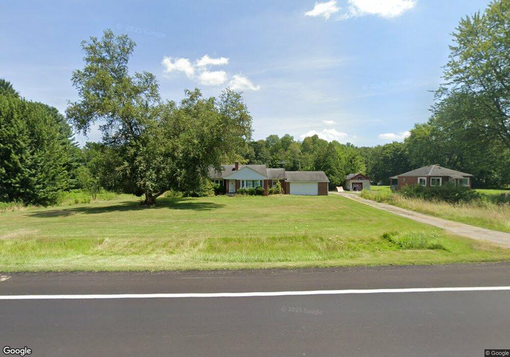
1220 State Route 7 NE Brookfield, OH 44403
Estimated Value: $176,811 - $226,000
3
Beds
1
Bath
1,534
Sq Ft
$125/Sq Ft
Est. Value
About This Home
This home is located at 1220 State Route 7 NE, Brookfield, OH 44403 and is currently estimated at $191,203, approximately $124 per square foot. 1220 State Route 7 NE is a home located in Trumbull County with nearby schools including Brookfield Elementary School, Brookfield Middle School, and Brookfield High School.
Ownership History
Date
Name
Owned For
Owner Type
Purchase Details
Closed on
Sep 23, 2005
Sold by
Felesky Larry Edward
Bought by
Felesky Larry E and Felesky Vicki Sue
Current Estimated Value
Purchase Details
Closed on
Sep 17, 2005
Sold by
Felesky Jeffrey Allen and Felesky Jeffrey Allan
Bought by
Felesky Larry E and Felesky Vicki Sue
Purchase Details
Closed on
Dec 29, 2004
Sold by
Felesky Betty
Bought by
Wilson Debra Lynn and Felesky Larry Edward
Purchase Details
Closed on
Dec 22, 2004
Sold by
Felesky Betty
Bought by
Wilson Debra Lynn and Felesky Larry Edward
Purchase Details
Closed on
Jan 1, 1990
Bought by
Betty Felesky
Create a Home Valuation Report for This Property
The Home Valuation Report is an in-depth analysis detailing your home's value as well as a comparison with similar homes in the area
Purchase History
| Date | Buyer | Sale Price | Title Company |
|---|---|---|---|
| Felesky Larry E | -- | -- | |
| Felesky Larry E | $56,667 | -- | |
| Wilson Debra Lynn | -- | -- | |
| Wilson Debra Lynn | -- | -- | |
| Betty Felesky | -- | -- |
Source: Public Records
Tax History
| Year | Tax Paid | Tax Assessment Tax Assessment Total Assessment is a certain percentage of the fair market value that is determined by local assessors to be the total taxable value of land and additions on the property. | Land | Improvement |
|---|---|---|---|---|
| 2024 | $1,724 | $47,780 | $5,150 | $42,630 |
| 2023 | $1,740 | $47,780 | $5,150 | $42,630 |
| 2022 | $713 | $21,350 | $4,760 | $16,590 |
| 2021 | $1,159 | $21,350 | $4,760 | $16,590 |
| 2020 | $1,152 | $21,350 | $4,760 | $16,590 |
| 2019 | $1,112 | $19,220 | $4,410 | $14,810 |
| 2018 | $1,083 | $18,870 | $4,410 | $14,460 |
| 2017 | $1,412 | $24,640 | $4,410 | $20,230 |
| 2016 | $1,610 | $27,030 | $4,800 | $22,230 |
| 2015 | $1,613 | $27,030 | $4,800 | $22,230 |
| 2014 | $1,606 | $27,030 | $4,800 | $22,230 |
| 2013 | $1,675 | $28,710 | $4,800 | $23,910 |
Source: Public Records
Map
Nearby Homes
- 7085 Sunnydell Dr
- 7159 Springdale Dr
- 7291 Oakwood Dr Unit B
- 0 Oakwood Dr Unit 5197641
- 711 State Route 7 SE
- 7620 Thompson Sharpsville Rd NE
- 7954 Warren - Sharon Rd
- 928 Bedford Rd
- 726 Boyd St NE
- 759 Gaylord Ave
- 461 Grove St
- 425 Grove St
- 457 Lincoln St
- 388 Lincoln St
- 660 Nash Ct
- 418 Ellsworth St
- 215 W Park St
- 1017 Broadway St
- 672 S Stateline Rd
- 331 A St
- 1212 State Route 7 NE
- 1244 State Route 7 NE
- 1190 State Route 7 NE
- 0 State Route 7 Unit 3958181
- 0 State Route 7 Unit 3670280
- 0 State Route 7 Unit 3717583
- 0 State Route 7 Unit 3767001
- 0 State Route 7 Unit 4163033
- 0 State Route 7 Unit 4108133
- 0 State Route 7 Unit 4098925
- 0 State Route 7 Unit 4098921
- 0 State Route 7 Unit 4073802
- 1185 State Route 7 NE
- 1164 State Route 7 NE
- 6900 Merwin Chase Rd
- 1306 State Route 7 NE
- 1138 State Route 7 NE
- 6884 Merwin Chase Rd
- 6864 Merwin Chase Rd
- 1120 State Route 7 NE
Your Personal Tour Guide
Ask me questions while you tour the home.