1220 W 275 S Lafayette, IN 47909
Estimated Value: $213,000 - $322,000
3
Beds
2
Baths
1,080
Sq Ft
$247/Sq Ft
Est. Value
About This Home
This home is located at 1220 W 275 S, Lafayette, IN 47909 and is currently estimated at $266,282, approximately $246 per square foot. 1220 W 275 S is a home located in Tippecanoe County with nearby schools including Mintonye Elementary School, Southwestern Middle School, and McCutcheon High School.
Ownership History
Date
Name
Owned For
Owner Type
Purchase Details
Closed on
Mar 18, 2022
Sold by
Berry Gerry D
Bought by
Flickinger Rental Llc
Current Estimated Value
Home Financials for this Owner
Home Financials are based on the most recent Mortgage that was taken out on this home.
Original Mortgage
$206,250
Outstanding Balance
$179,847
Interest Rate
3.55%
Mortgage Type
New Conventional
Estimated Equity
$86,435
Create a Home Valuation Report for This Property
The Home Valuation Report is an in-depth analysis detailing your home's value as well as a comparison with similar homes in the area
Home Values in the Area
Average Home Value in this Area
Purchase History
| Date | Buyer | Sale Price | Title Company |
|---|---|---|---|
| Flickinger Rental Llc | $275,000 | None Listed On Document |
Source: Public Records
Mortgage History
| Date | Status | Borrower | Loan Amount |
|---|---|---|---|
| Open | Flickinger Rental Llc | $206,250 |
Source: Public Records
Tax History Compared to Growth
Tax History
| Year | Tax Paid | Tax Assessment Tax Assessment Total Assessment is a certain percentage of the fair market value that is determined by local assessors to be the total taxable value of land and additions on the property. | Land | Improvement |
|---|---|---|---|---|
| 2024 | $1,902 | $117,500 | $17,400 | $100,100 |
| 2023 | $2,902 | $175,600 | $17,400 | $158,200 |
| 2022 | $810 | $154,300 | $17,400 | $136,900 |
| 2021 | $754 | $148,300 | $17,400 | $130,900 |
| 2020 | $751 | $148,300 | $17,400 | $130,900 |
| 2019 | $0 | $63,800 | $17,400 | $46,400 |
| 2018 | $0 | $63,400 | $17,400 | $46,000 |
| 2017 | $0 | $62,800 | $17,400 | $45,400 |
| 2016 | $0 | $64,800 | $17,400 | $47,400 |
| 2014 | -- | $65,300 | $17,400 | $47,900 |
| 2013 | $1,089 | $63,700 | $17,400 | $46,300 |
Source: Public Records
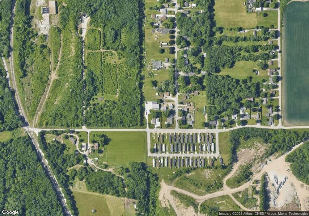
Map
Nearby Homes
- 1100 W 275 S
- 894 Drydock Dr
- 617 Stockbridge Ln
- 3267 Hendrickson Ln
- 3428 Ingram Ct
- 324 Persimmon Trail
- 820 Elston Rd
- 2713 & 2715 Plaza Ln
- 825 Drydock Dr
- 3227 Townsend Dr
- 116 Wise Dr
- 809 Ravenstone Dr
- 143 Kinkaid Dr
- 4336 Admirals Cove Dr
- 2561 S 231 Hwy
- 4254-4268 Admirals Cove Dr
- 3535 Round Rock Cir
- 2820 Limestone Ln
- 3638 Round Rock Ct
- 892 Ravenstone Dr