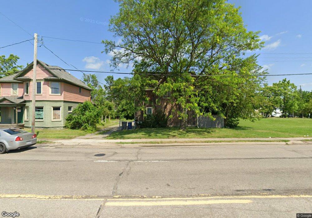
1220 W Court St Flint, MI 48503
Southwest Flint NeighborhoodEstimated Value: $52,000 - $85,000
--
Bed
3
Baths
1,966
Sq Ft
$36/Sq Ft
Est. Value
About This Home
This home is located at 1220 W Court St, Flint, MI 48503 and is currently estimated at $71,358, approximately $36 per square foot. 1220 W Court St is a home located in Genesee County with nearby schools including Eisenhower School, WAY Academy of Flint, and St John Vianney Catholic School.
Ownership History
Date
Name
Owned For
Owner Type
Purchase Details
Closed on
Oct 30, 2024
Sold by
Spooner Adam M and Shaw Amber N
Bought by
Adam M Spooner And Amber N Shaw Revocable Liv and Spooner
Current Estimated Value
Purchase Details
Closed on
Jan 18, 2017
Sold by
Stair Philip G and Genesee County Land Bank Aut
Bought by
Spooner Adam
Purchase Details
Closed on
Jan 7, 2014
Sold by
The Genesee County Land Bank Authority
Bought by
Spooner Adam
Purchase Details
Closed on
Dec 20, 2013
Sold by
Genesee County Treasurer
Bought by
Genesee County Land Bank
Purchase Details
Closed on
Nov 22, 2005
Sold by
Klemchuk Arthur C
Bought by
Spooner Johnny
Home Financials for this Owner
Home Financials are based on the most recent Mortgage that was taken out on this home.
Original Mortgage
$85,500
Interest Rate
9.75%
Mortgage Type
Fannie Mae Freddie Mac
Create a Home Valuation Report for This Property
The Home Valuation Report is an in-depth analysis detailing your home's value as well as a comparison with similar homes in the area
Home Values in the Area
Average Home Value in this Area
Purchase History
| Date | Buyer | Sale Price | Title Company |
|---|---|---|---|
| Adam M Spooner And Amber N Shaw Revocable Liv | -- | None Listed On Document | |
| Spooner Adam | $4,000 | None Available | |
| Spooner Adam | $4,000 | None Available | |
| Genesee County Land Bank | -- | None Available | |
| Spooner Johnny | $95,000 | Title Michigan Agency Ltd |
Source: Public Records
Mortgage History
| Date | Status | Borrower | Loan Amount |
|---|---|---|---|
| Previous Owner | Spooner Johnny | $85,500 | |
| Closed | Spooner Adam | $0 |
Source: Public Records
Tax History Compared to Growth
Tax History
| Year | Tax Paid | Tax Assessment Tax Assessment Total Assessment is a certain percentage of the fair market value that is determined by local assessors to be the total taxable value of land and additions on the property. | Land | Improvement |
|---|---|---|---|---|
| 2025 | $1,232 | $24,900 | $0 | $0 |
| 2024 | $1,159 | $23,200 | $0 | $0 |
| 2023 | $1,139 | $18,800 | $0 | $0 |
| 2022 | $0 | $15,300 | $0 | $0 |
| 2021 | $1,030 | $13,700 | $0 | $0 |
| 2020 | $958 | $12,600 | $0 | $0 |
| 2019 | $775 | $13,400 | $0 | $0 |
| 2018 | $760 | $12,400 | $0 | $0 |
| 2017 | $741 | $0 | $0 | $0 |
| 2016 | $221 | $0 | $0 | $0 |
| 2015 | -- | $0 | $0 | $0 |
| 2014 | -- | $0 | $0 | $0 |
| 2012 | -- | $9,100 | $0 | $0 |
Source: Public Records
Map
Nearby Homes
- 913 Davis St
- 503 W 2nd St
- 1009 Oak St
- 1708 Fenton Rd
- 1202 Pershing St
- 2021 Brooks St
- 1926 W Court St
- 314 W 5th St
- 347 W 5th St Unit 2
- 343 W 5th St Unit 1
- 339 W 5th St Unit 3
- 335 W 5th St Unit 2
- 331 W 5th St Unit 1
- 327 W 5th St Unit 3
- 323 W 5th St Unit 2
- 319 W 5th St Unit 1
- 315 W 5th St Unit 3
- 311 W 5th St Unit 2
- 307 W 5th St Unit 1
- 1810 Chelsea Cir
- 1224 W Court St
- 1214 W Court St
- 817 Hazelton St
- 813 Hazelton St
- 820 Asylum St
- 1200 W Court St
- 816 Asylum St
- 807 Hazelton St
- 810 Asylum St
- 806 Hazelton St
- 812 Hazelton St
- 728 Asylum St
- 802 Asylum St
- 727 Hazelton St
- 721 Hazelton St
- 802 Hazelton St
- 717 Hazelton St
- 801 Asylum St
- 1324 W Court St
- 720 Hazelton St