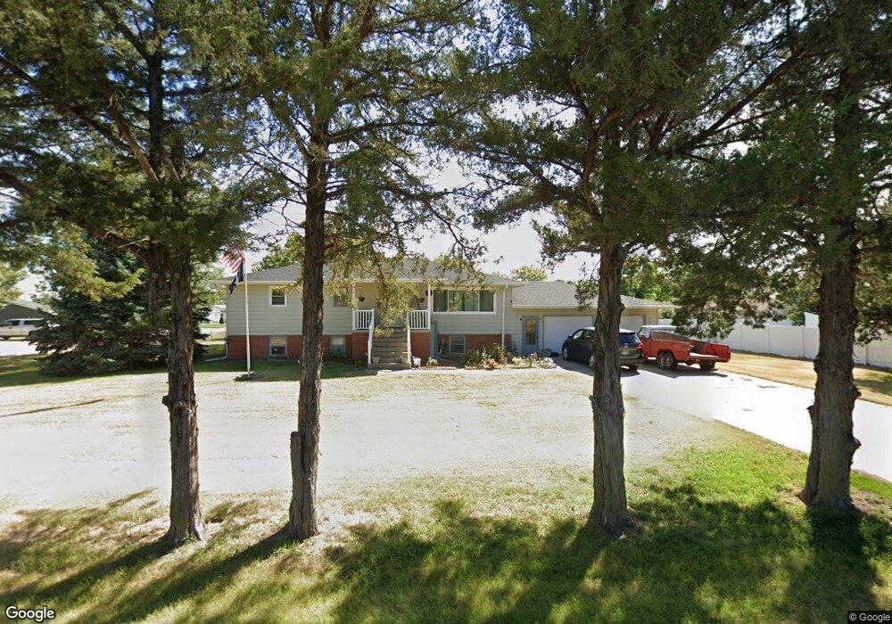
1220 W Eugene Ave North Platte, NE 69101
Estimated Value: $267,000 - $308,000
4
Beds
2
Baths
1,536
Sq Ft
$182/Sq Ft
Est. Value
About This Home
This home is located at 1220 W Eugene Ave, North Platte, NE 69101 and is currently estimated at $280,314, approximately $182 per square foot. 1220 W Eugene Ave is a home located in Lincoln County with nearby schools including North Platte High School, Mc Daid Elementary School, and McDaid Elementary School.
Ownership History
Date
Name
Owned For
Owner Type
Purchase Details
Closed on
Jan 27, 2018
Sold by
Beran David and Beran Gayle
Bought by
Beran David
Current Estimated Value
Home Financials for this Owner
Home Financials are based on the most recent Mortgage that was taken out on this home.
Original Mortgage
$120,000
Outstanding Balance
$66,252
Interest Rate
3.99%
Mortgage Type
New Conventional
Estimated Equity
$214,062
Purchase Details
Closed on
Feb 27, 2014
Sold by
Keith Susan
Bought by
Beran David D and Beran Thomas R
Create a Home Valuation Report for This Property
The Home Valuation Report is an in-depth analysis detailing your home's value as well as a comparison with similar homes in the area
Home Values in the Area
Average Home Value in this Area
Purchase History
| Date | Buyer | Sale Price | Title Company |
|---|---|---|---|
| Beran David | $69,000 | None Available | |
| Beran David D | -- | None Available |
Source: Public Records
Mortgage History
| Date | Status | Borrower | Loan Amount |
|---|---|---|---|
| Open | Beran David | $120,000 |
Source: Public Records
Tax History
| Year | Tax Paid | Tax Assessment Tax Assessment Total Assessment is a certain percentage of the fair market value that is determined by local assessors to be the total taxable value of land and additions on the property. | Land | Improvement |
|---|---|---|---|---|
| 2025 | $2,800 | $202,638 | $54,030 | $148,608 |
| 2024 | $2,800 | $202,638 | $54,030 | $148,608 |
| 2023 | $3,160 | $173,304 | $30,746 | $142,558 |
| 2022 | $3,002 | $155,376 | $27,565 | $127,811 |
| 2021 | $2,898 | $149,400 | $26,505 | $122,895 |
| 2020 | $2,940 | $149,400 | $26,505 | $122,895 |
| 2019 | $2,952 | $149,400 | $26,505 | $122,895 |
| 2018 | $2,954 | $149,400 | $26,505 | $122,895 |
| 2017 | $2,890 | $145,690 | $26,505 | $119,185 |
| 2016 | $2,774 | $137,360 | $26,505 | $110,855 |
| 2014 | $2,930 | $137,715 | $26,505 | $111,210 |
Source: Public Records
Map
Nearby Homes
- 3102 S Oak St
- 2901 S Oak St
- 910 W Walker Rd
- 902-902 1 2 W 8th 710 N Jessie Ave Unit 902,902
- 0 N Platte Fremont Slough Development Unit 11573268
- N Platte Unit NE 69101
- 3366 Parker Rd
- 0 Unit Lot
- 0 N Buffalo Bill Grass
- N Platte Unit NE 69101
- TBD Sioux Meadows Dr
- 0 Buffalo Triangle Frontage
- 0 State Farm Road Short Acreage W
- 0 State Farm Road Short Acreage E
- N Platte Unit NE 69101
- N Platte Unit NE 69101
- 0 S Buffalo Bill Development
- N Platte Unit NE 69101
- 200 College Dr
- 1306 William Ave
- 2901 Willow Wind Rd
- 2915 Ioke St
- 2901 Ioke St
- 1221 W Eugene Ave Unit 1223
- 2921 Ioke St
- 1215 W Eugene Ave
- 2921 Willow Wind Rd
- 2921 Willowwind Rd
- 1301 W Eugene Ave
- 2902 Ioke St
- 1311 W Eugene Ave
- 3001 Ioke St
- 3001 Willow Wind Rd
- 3007 Ioke St
- 2910 Ioke St
- 1317 W Eugene Ave
- 1201 W Eugene Ave
- 3002 Ioke St
- 3011 Willow Wind Rd
- 3011 Willowwind Rd
Your Personal Tour Guide
Ask me questions while you tour the home.