Estimated Value: $137,000 - $188,000
--
Bed
2
Baths
1,618
Sq Ft
$99/Sq Ft
Est. Value
About This Home
This home is located at 1220 W Highway 64, Ozark, AR 72949 and is currently estimated at $160,003, approximately $98 per square foot. 1220 W Highway 64 is a home located in Franklin County with nearby schools including Marvin Primary School, Pleasant View Junior High School, and Mulberry High School.
Ownership History
Date
Name
Owned For
Owner Type
Purchase Details
Closed on
Aug 13, 2015
Bought by
Pottorff Robert
Current Estimated Value
Purchase Details
Closed on
Dec 19, 2000
Bought by
Hillbilly and Pottorff
Purchase Details
Closed on
Jun 1, 2000
Bought by
Adkins and Hillbilly Realty
Purchase Details
Closed on
Jul 21, 1998
Bought by
Sossamon and Adkins
Purchase Details
Closed on
Jul 10, 1998
Bought by
Smith and Sossamon
Purchase Details
Closed on
Feb 1, 1989
Bought by
Sossamon and Smith
Create a Home Valuation Report for This Property
The Home Valuation Report is an in-depth analysis detailing your home's value as well as a comparison with similar homes in the area
Home Values in the Area
Average Home Value in this Area
Purchase History
| Date | Buyer | Sale Price | Title Company |
|---|---|---|---|
| Pottorff Robert | -- | -- | |
| Hillbilly | $96,000 | -- | |
| Adkins | $8,000 | -- | |
| Sossamon | $10,000 | -- | |
| Smith | -- | -- | |
| Sossamon | -- | -- |
Source: Public Records
Tax History Compared to Growth
Tax History
| Year | Tax Paid | Tax Assessment Tax Assessment Total Assessment is a certain percentage of the fair market value that is determined by local assessors to be the total taxable value of land and additions on the property. | Land | Improvement |
|---|---|---|---|---|
| 2025 | $651 | $27,410 | $3,240 | $24,170 |
| 2024 | $751 | $27,410 | $3,240 | $24,170 |
| 2023 | $827 | $27,410 | $3,240 | $24,170 |
| 2022 | $876 | $27,410 | $3,240 | $24,170 |
| 2021 | $876 | $27,410 | $3,240 | $24,170 |
| 2020 | $853 | $25,640 | $2,240 | $23,400 |
| 2019 | $853 | $25,640 | $2,240 | $23,400 |
| 2018 | $877 | $25,640 | $2,240 | $23,400 |
| 2017 | $877 | $25,640 | $2,240 | $23,400 |
| 2016 | $873 | $25,527 | $2,240 | $23,287 |
| 2015 | $814 | $24,310 | $2,240 | $22,070 |
| 2014 | -- | $24,310 | $2,240 | $22,070 |
| 2013 | -- | $24,310 | $2,240 | $22,070 |
Source: Public Records
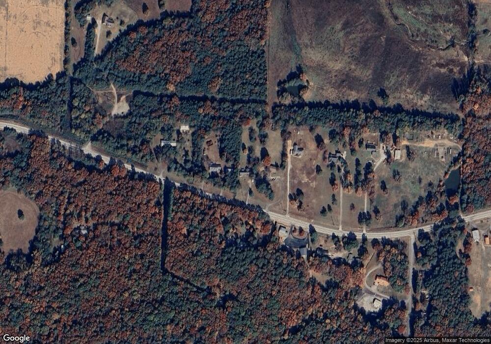
Map
Nearby Homes
- 8071 Red Oak Dr
- 4205 Woodland W
- 721 S 37th St
- 617 N 35th St
- 719 Norma Ln
- 203 S 35th St
- 213 S 30th St
- 301 S 30th St
- 310 S 29th St
- 213 N 28th St
- 2706 Whitney Dr
- 402 N 27th St
- 413 N 26th St
- 2605 W Commercial St
- 309 N 25th St
- 2513 W Commercial St
- 203 N 25th St
- 202 N 25th St
- 1832 Lone Oak Rd
- 1912 Johnson St
- 1202 W Highway 64 Unit W
- 1230 W Highway 64
- 1142 W Highway 64
- 1241 W Highway 64
- 1310 W Highway 64
- 1124 W Highway 64
- 1121 U S 64
- 1121 W Highway 64
- 1303 W Highway 64
- 1046 W Highway 64
- 1101 W Highway 64
- 1339 W Highway 64
- 1035 W Highway 64
- 1035 U S 64
- 8039 Red Oak Dr
- 8334 Red Oak Dr
- 1402 W Highway 64
- 8318 Red Oak Dr
- 8237 Red Oak Dr
- 8246 Red Oak Dr