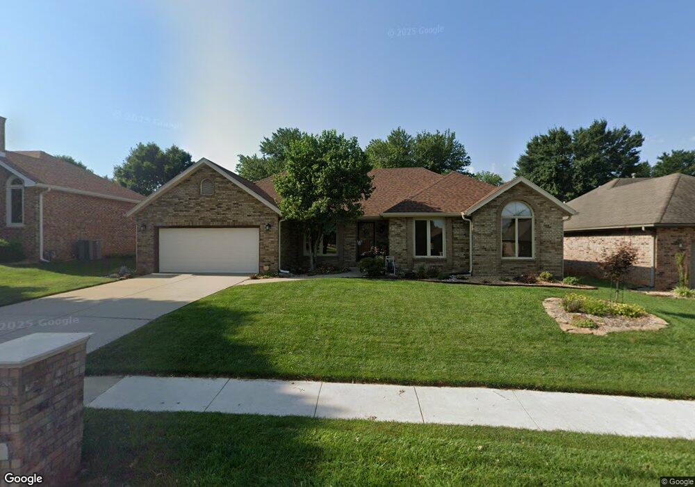
1220 W Swallow St Springfield, MO 65810
Southwest Springfield NeighborhoodEstimated Value: $313,793 - $338,000
3
Beds
2
Baths
1,949
Sq Ft
$170/Sq Ft
Est. Value
About This Home
This home is located at 1220 W Swallow St, Springfield, MO 65810 and is currently estimated at $331,198, approximately $169 per square foot. 1220 W Swallow St is a home located in Greene County with nearby schools including Gray Elementary School, Wilson's Creek Intermediate School, and Cherokee Middle School.
Ownership History
Date
Name
Owned For
Owner Type
Purchase Details
Closed on
Aug 5, 2020
Sold by
Kissinger Rodney L and Kissing Rodney L
Bought by
Kissing Rodney L and Kissinger Anita A
Current Estimated Value
Home Financials for this Owner
Home Financials are based on the most recent Mortgage that was taken out on this home.
Original Mortgage
$100,000
Outstanding Balance
$85,175
Interest Rate
3%
Mortgage Type
Credit Line Revolving
Estimated Equity
$246,023
Purchase Details
Closed on
Jul 11, 2014
Sold by
Mccoy Darrel and Mccoy Elanda L
Bought by
Kissinger Anita A and Darrel And Elanda Mccoy Revocable Living
Purchase Details
Closed on
Jan 3, 2014
Sold by
Kissinger Rodney L and Kissinger Anita A
Bought by
Kissinger Rodney L
Create a Home Valuation Report for This Property
The Home Valuation Report is an in-depth analysis detailing your home's value as well as a comparison with similar homes in the area
Home Values in the Area
Average Home Value in this Area
Purchase History
| Date | Buyer | Sale Price | Title Company |
|---|---|---|---|
| Kissing Rodney L | -- | Waco Title Co Springfield | |
| Kissinger Rodney L | -- | None Available | |
| Kissinger Anita A | -- | None Available | |
| Kissinger Rodney L | -- | None Available |
Source: Public Records
Mortgage History
| Date | Status | Borrower | Loan Amount |
|---|---|---|---|
| Open | Kissinger Rodney L | $100,000 |
Source: Public Records
Tax History
| Year | Tax Paid | Tax Assessment Tax Assessment Total Assessment is a certain percentage of the fair market value that is determined by local assessors to be the total taxable value of land and additions on the property. | Land | Improvement |
|---|---|---|---|---|
| 2025 | $2,151 | $45,810 | $7,130 | $38,680 |
| 2024 | $2,151 | $40,090 | $5,210 | $34,880 |
| 2023 | $2,139 | $40,090 | $5,210 | $34,880 |
| 2022 | $1,981 | $36,280 | $5,210 | $31,070 |
| 2021 | $1,981 | $36,280 | $5,210 | $31,070 |
| 2020 | $1,951 | $34,170 | $5,210 | $28,960 |
| 2019 | $1,896 | $34,170 | $5,210 | $28,960 |
| 2018 | $1,686 | $30,390 | $5,210 | $25,180 |
| 2017 | $1,669 | $29,380 | $5,210 | $24,170 |
| 2016 | $1,610 | $29,380 | $5,210 | $24,170 |
| 2015 | $1,596 | $29,380 | $5,210 | $24,170 |
| 2014 | $1,569 | $28,690 | $5,210 | $23,480 |
Source: Public Records
Map
Nearby Homes
- 1922 W Woodhaven St Unit Lot 42
- 1924 W Woodhaven St Unit Lot 43
- 1914 W Woodhaven St Unit Lot 38
- 1910 W Woodhaven St Unit Lot 36
- 1912 W Woodhaven St Unit Lot 37
- 4782 S Turnberry Ave
- 744 W Lasalle St
- 1233 W Highland St
- 1658 W Riverside St
- 4441 S Lafontaine Ave
- 3860 S Parklane Ave
- 796 W Sherwood Dr
- 4907 S Buckingham Ln
- 2021 W Kingsley St
- 2065 W Buena Vista St
- 4530 S Shady Lane Ct
- 4916 S Buckingham Ln
- 4825 S Sydney Ave
- 2175 W Glen Gary Ct
- 2177 W Glen Gary Ct
- 1228 W Swallow St
- 1214 W Swallow St
- 1219 W Cardinal St
- 1236 W Swallow St
- 1227 W Cardinal St
- 1211 W Cardinal St
- 1223 W Swallow St
- 4321 S Quail Creek Ave
- 1235 W Cardinal St
- 1231 W Swallow St
- 1310 W Swallow St
- 1201 W Cardinal St
- 1301 W Swallow St
- 4306 S Quail Creek Ave
- 4270 S Quail Creek Ave
- 1318 W Swallow St
- 4312 S Quail Creek Ave
- 1241 W Cardinal St
- 1309 W Swallow St
Your Personal Tour Guide
Ask me questions while you tour the home.