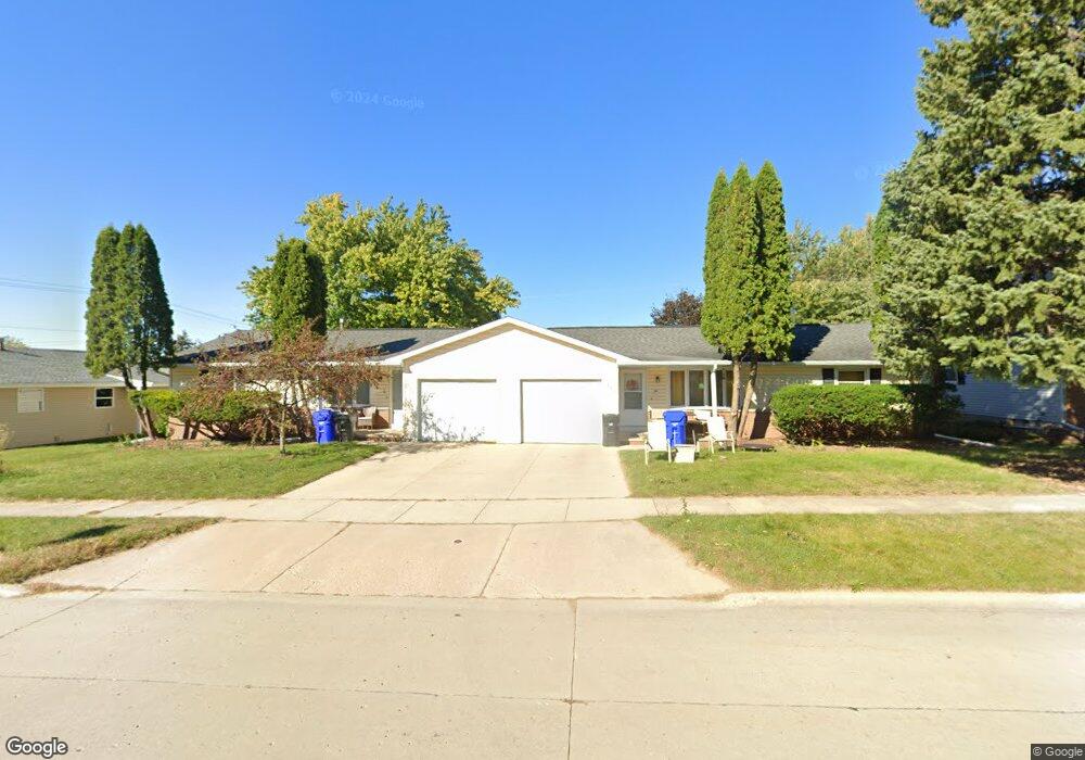
1220 W Weiland Ln Appleton, WI 54914
West Appleton NeighborhoodEstimated Value: $285,000 - $328,724
4
Beds
2
Baths
1,920
Sq Ft
$158/Sq Ft
Est. Value
About This Home
This home is located at 1220 W Weiland Ln, Appleton, WI 54914 and is currently estimated at $303,181, approximately $157 per square foot. 1220 W Weiland Ln is a home located in Outagamie County with nearby schools including Highlands Elementary School, Wilson Middle School, and Appleton West High School.
Ownership History
Date
Name
Owned For
Owner Type
Purchase Details
Closed on
Jun 13, 2022
Sold by
Schuh Kevin J
Bought by
Hometown Rental Properties Llc
Current Estimated Value
Purchase Details
Closed on
Mar 21, 2022
Sold by
Ratsch Michael L
Bought by
Schuh Kevin J
Home Financials for this Owner
Home Financials are based on the most recent Mortgage that was taken out on this home.
Original Mortgage
$161,250
Interest Rate
4.38%
Mortgage Type
New Conventional
Create a Home Valuation Report for This Property
The Home Valuation Report is an in-depth analysis detailing your home's value as well as a comparison with similar homes in the area
Home Values in the Area
Average Home Value in this Area
Purchase History
| Date | Buyer | Sale Price | Title Company |
|---|---|---|---|
| Hometown Rental Properties Llc | -- | Krause & Krause | |
| Schuh Kevin J | $215,000 | Herrling Clark Law Firm Ltd |
Source: Public Records
Mortgage History
| Date | Status | Borrower | Loan Amount |
|---|---|---|---|
| Previous Owner | Schuh Kevin J | $161,250 |
Source: Public Records
Tax History Compared to Growth
Tax History
| Year | Tax Paid | Tax Assessment Tax Assessment Total Assessment is a certain percentage of the fair market value that is determined by local assessors to be the total taxable value of land and additions on the property. | Land | Improvement |
|---|---|---|---|---|
| 2023 | $3,697 | $244,600 | $49,900 | $194,700 |
| 2022 | $2,974 | $147,800 | $39,800 | $108,000 |
| 2021 | $2,833 | $147,800 | $39,800 | $108,000 |
| 2020 | $2,838 | $147,800 | $39,800 | $108,000 |
| 2019 | $2,746 | $147,800 | $39,800 | $108,000 |
| 2018 | $2,753 | $129,400 | $36,700 | $92,700 |
| 2017 | $2,743 | $129,400 | $36,700 | $92,700 |
| 2016 | $2,693 | $129,400 | $36,700 | $92,700 |
| 2015 | $2,739 | $129,400 | $36,700 | $92,700 |
| 2014 | $2,714 | $129,400 | $36,700 | $92,700 |
| 2013 | $2,853 | $135,300 | $36,700 | $98,600 |
Source: Public Records
Map
Nearby Homes
- 1501 W Cloverdale Dr
- N9232 W Homestead Dr
- N9220 W Homestead Dr
- 2213 N Summit St
- 2201 N Elinor St
- 2124 N Elinor St
- 826 W Weiland Ave
- 1119 W Glendale Ave
- 1125 W Roberts Ave
- 1909 N Nicholas St
- 2405 N Erb St
- 1124 W Parkway Blvd
- 1825 N Douglas St
- 512 W Michigan St
- 1200 W Bell Ave
- 733 W Grant St
- 1218 W Brewster St
- 1508 N Nicholas St
- 1310 W Hiawatha Dr
- 1811 N Whitney Dr
- 1222 W Weiland Ln Unit 1220
- 1222 W Weiland Ln
- 1214 W Weiland Ln
- 2700 N Mason St
- 2702 N Mason St Unit Left
- 1206 W Weiland Ln
- 2636 N Mason St
- 1200 W Weiland Ln
- 1207 W Northland Ave
- 2711 N Mason St
- 1140 W Weiland Ln
- 1305 W Weiland Ln
- 1300 W Homestead Dr
- 1127 W Weiland Ln
- 2630 N Lisa St
- 2624 N Lisa St
- 1311 W Weiland Ln
- 1130 W Weiland Ln
- 1127 W Northland Ave
- 1308 W Homestead Dr