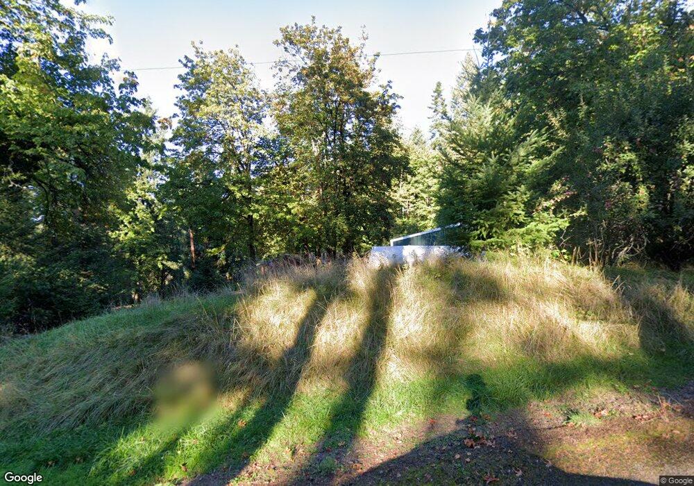
12201 S Quinn Rd Molalla, OR 97038
Estimated Value: $461,725 - $648,000
3
Beds
2
Baths
1,560
Sq Ft
$357/Sq Ft
Est. Value
About This Home
This home is located at 12201 S Quinn Rd, Molalla, OR 97038 and is currently estimated at $556,931, approximately $357 per square foot. 12201 S Quinn Rd is a home located in Clackamas County.
Ownership History
Date
Name
Owned For
Owner Type
Purchase Details
Closed on
Mar 29, 2004
Sold by
Kohl Gary and Kohl Sandra
Bought by
Gaskell Robert L and Gaskell Carolyn D
Current Estimated Value
Home Financials for this Owner
Home Financials are based on the most recent Mortgage that was taken out on this home.
Original Mortgage
$187,900
Outstanding Balance
$86,530
Interest Rate
5.57%
Mortgage Type
Unknown
Estimated Equity
$470,401
Purchase Details
Closed on
Sep 13, 2002
Sold by
The Bank Of New York
Bought by
Kohl Gary and Kohl Sandra
Purchase Details
Closed on
Sep 26, 2001
Sold by
Leach Adam and Leach Chelsey L
Bought by
The Bank Of New York
Create a Home Valuation Report for This Property
The Home Valuation Report is an in-depth analysis detailing your home's value as well as a comparison with similar homes in the area
Home Values in the Area
Average Home Value in this Area
Purchase History
| Date | Buyer | Sale Price | Title Company |
|---|---|---|---|
| Gaskell Robert L | $234,900 | Chicago Title Insurance Comp | |
| Kohl Gary | $145,000 | Multiple | |
| The Bank Of New York | $160,500 | First American Title Co |
Source: Public Records
Mortgage History
| Date | Status | Borrower | Loan Amount |
|---|---|---|---|
| Open | Gaskell Robert L | $187,900 |
Source: Public Records
Tax History Compared to Growth
Tax History
| Year | Tax Paid | Tax Assessment Tax Assessment Total Assessment is a certain percentage of the fair market value that is determined by local assessors to be the total taxable value of land and additions on the property. | Land | Improvement |
|---|---|---|---|---|
| 2025 | $2,476 | $177,337 | -- | -- |
| 2024 | $2,387 | $172,177 | -- | -- |
| 2023 | $2,387 | $167,165 | $0 | $0 |
| 2022 | $2,004 | $162,296 | $0 | $0 |
| 2021 | $1,916 | $157,565 | $0 | $0 |
| 2020 | $1,865 | $152,974 | $0 | $0 |
| 2019 | $1,813 | $148,520 | $0 | $0 |
| 2018 | $1,765 | $144,197 | $0 | $0 |
| 2017 | $1,670 | $139,993 | $0 | $0 |
| 2016 | $1,556 | $135,919 | $0 | $0 |
| 2015 | $1,312 | $115,628 | $0 | $0 |
| 2014 | $1,223 | $110,364 | $0 | $0 |
Source: Public Records
Map
Nearby Homes
- 9924 S Wildcat Rd
- 35267 S Acer Ln
- 0 S Wilhoit Rd
- 10285 S Rosewood Way
- 36175 S Highway 213
- 36451 S Sawtell Rd Unit 16
- 36451 S Sawtell Rd Unit 10
- 36451 S Sawtell Rd
- 0 Crooked Finger Rd NE Unit 827344
- 0 Crooked Finger Rd NE Unit 265826977
- 000 Crooked Finger Rd NE
- Lot 1600 Crooked Finger Rd NE
- 0 Off of Crooked Finge Rd
- 37212 S Sawtell Rd
- 35517 S Aqua Springs Rd
- 15634 S Fawn View Way
- 15776 S Pierce Rd
- 15646 S Fawn View Way
- 37658 S Highway 213
- 37486 S Highway 213 (Adj To)
- 12202 S Quinn Rd
- 12232 S Quinn Rd
- 12000 S Quinn Rd
- 12244 S Quinn Rd
- 11831 S Wildcat Rd
- 36720 S Blair Rd
- 12012 S Wildcat Rd
- 36951 S Blair Rd
- 11786 S Wildcat Rd
- 11992 S Wildcat Rd
- 12380 S Quinn Rd
- 12502 S Wildcat Rd
- 36880 S Blair Rd
- 36650 S Blair Rd
- 11550 S Wildcat Rd
- 36550 S Blair Rd
- 12940 S Wyland Rd
- 36578 S Blair Rd
- 37051 S Blair Rd
- 12506 S Wildcat Rd