12203 W Point Rd Mount Carroll, IL 61053
--
Bed
--
Bath
--
Sq Ft
141.34
Acres
About This Home
This home is located at 12203 W Point Rd, Mount Carroll, IL 61053. 12203 W Point Rd is a home.
Ownership History
Date
Name
Owned For
Owner Type
Purchase Details
Closed on
Feb 17, 2006
Bought by
Morhardt Gerard and Morhardt Elaine
Create a Home Valuation Report for This Property
The Home Valuation Report is an in-depth analysis detailing your home's value as well as a comparison with similar homes in the area
Home Values in the Area
Average Home Value in this Area
Purchase History
| Date | Buyer | Sale Price | Title Company |
|---|---|---|---|
| Morhardt Gerard | -- | -- |
Source: Public Records
Tax History Compared to Growth
Tax History
| Year | Tax Paid | Tax Assessment Tax Assessment Total Assessment is a certain percentage of the fair market value that is determined by local assessors to be the total taxable value of land and additions on the property. | Land | Improvement |
|---|---|---|---|---|
| 2024 | $3,065 | $35,617 | $35,417 | $200 |
| 2023 | $3,065 | $31,126 | $30,926 | $200 |
| 2022 | $2,519 | $9,010 | $8,810 | $200 |
| 2021 | $2,215 | $23,341 | $23,141 | $200 |
| 2020 | $1,903 | $9,010 | $8,810 | $200 |
| 2019 | $1,667 | $9,327 | $8,810 | $517 |
| 2018 | $1,406 | $9,327 | $8,810 | $517 |
| 2017 | $1,033 | $9,327 | $8,810 | $517 |
| 2016 | $923 | $9,327 | $8,810 | $517 |
| 2015 | $766 | $9,570 | $8,810 | $760 |
| 2014 | $484 | $6,867 | $6,107 | $760 |
| 2013 | $484 | $6,312 | $5,552 | $760 |
Source: Public Records
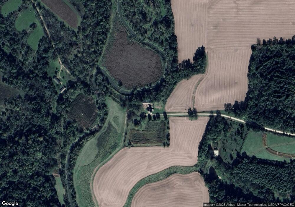
Map
Nearby Homes
- 1902 Chicago Ave
- 1407 Hawthorne Ave
- 17380 Corbett Rd
- 1816 Ontario Ave
- 206 Viaduct Rd
- 12349 Illinois 78
- 704 Spruce St
- 1611 Portland Ave
- 16529 Scenic Palisades Rd
- 702 Eaton St
- 926 Viaduct Rd
- 618 Poplar St
- 1000 Calhoun St
- 22 Van St
- 106 Grant St
- 726 N 4th St
- 213 Walnut St
- 529 N 5th St
- 124 Milwaukee St
- 708 Bowen St
- 12196 W Point Rd
- 12306 W Point Rd
- 12022 W Point Rd
- 12022 W Point Rd Unit (home, outbuildings,
- 12594 W Point Rd
- 12587 W Point Rd
- 12642 W Point Rd
- 12727 W Point Rd
- 12001 W Point Rd
- 12952 W Point Rd
- 15275 Law Rd
- 12841 Davis Rd
- 15363 Law Rd
- 0 Law Unit 20100116
- 0 Law Unit 13118
- 0 Law Unit 133264
- 0 Law Unit 20191176
- TBD Davis & Elizabeth Mt Carroll Rd
- 13001 W Point Rd
- 14797 Law Rd