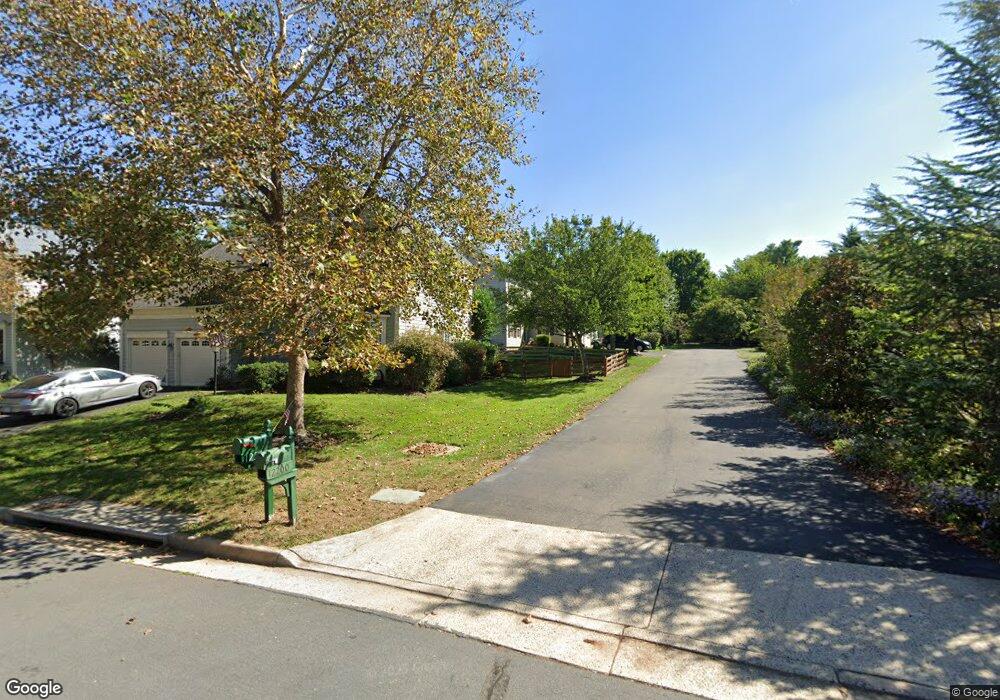
12204 Lanark Ct Bristow, VA 20136
Villages At Saybrooke NeighborhoodEstimated Value: $713,000 - $769,000
3
Beds
4
Baths
2,460
Sq Ft
$298/Sq Ft
Est. Value
About This Home
This home is located at 12204 Lanark Ct, Bristow, VA 20136 and is currently estimated at $732,205, approximately $297 per square foot. 12204 Lanark Ct is a home located in Prince William County with nearby schools including Patriot High School, Cedar Point Elementary School, and E.H. Marsteller Middle School.
Ownership History
Date
Name
Owned For
Owner Type
Purchase Details
Closed on
Jul 28, 1998
Sold by
Coscan Washington Inc
Bought by
Kerns Kevin E and Kerns Karen A
Current Estimated Value
Home Financials for this Owner
Home Financials are based on the most recent Mortgage that was taken out on this home.
Original Mortgage
$180,250
Outstanding Balance
$37,833
Interest Rate
6.99%
Mortgage Type
New Conventional
Estimated Equity
$694,372
Create a Home Valuation Report for This Property
The Home Valuation Report is an in-depth analysis detailing your home's value as well as a comparison with similar homes in the area
Home Values in the Area
Average Home Value in this Area
Purchase History
| Date | Buyer | Sale Price | Title Company |
|---|---|---|---|
| Kerns Kevin E | $192,590 | -- |
Source: Public Records
Mortgage History
| Date | Status | Borrower | Loan Amount |
|---|---|---|---|
| Open | Kerns Kevin E | $180,250 |
Source: Public Records
Tax History Compared to Growth
Tax History
| Year | Tax Paid | Tax Assessment Tax Assessment Total Assessment is a certain percentage of the fair market value that is determined by local assessors to be the total taxable value of land and additions on the property. | Land | Improvement |
|---|---|---|---|---|
| 2025 | $6,300 | $695,000 | $193,300 | $501,700 |
| 2024 | $6,300 | $633,500 | $184,100 | $449,400 |
| 2023 | $6,260 | $601,600 | $174,500 | $427,100 |
| 2022 | $6,350 | $563,100 | $150,000 | $413,100 |
| 2021 | $6,000 | $491,900 | $132,000 | $359,900 |
| 2020 | $6,891 | $444,600 | $120,100 | $324,500 |
| 2019 | $6,798 | $438,600 | $120,100 | $318,500 |
| 2018 | $5,103 | $422,600 | $114,400 | $308,200 |
| 2017 | $5,052 | $409,600 | $114,400 | $295,200 |
| 2016 | $4,879 | $399,100 | $108,700 | $290,400 |
| 2015 | $4,799 | $400,900 | $108,700 | $292,200 |
| 2014 | $4,799 | $384,100 | $103,700 | $280,400 |
Source: Public Records
Map
Nearby Homes
- 12048 Elliots Oak Place
- 12151 Hayfield Ct
- 9656 Bedder Stone Place
- 9579 Scales Place
- Hampton II Plan at Parkgate Estates
- 9475 Sarah Mill Terrace
- 12021 Spring Beauty Rd
- 9381 Crestview Ridge Dr
- 9293 Crestview Ridge Dr
- 9318 Crestview Ridge Dr
- 9244 Crestview Ridge Dr
- 10512 Blazing Star Loop
- 10045 Pentland Hills Way
- 9218 Dawkins Crest Cir
- 9256 Crestview Ridge Dr
- 9478 Merrimont Trace Cir
- 12100 Brevard Park Ct
- 10554 Andrew Humphreys Ct
- 10423 Rifle Rd
- 12054 Nokesville Rd
- 9777 Runner Stone Place
- 12205 Lanark Ct
- 12227 Conveyor Ct
- 9773 Runner Stone Place
- 12201 Lanark Ct
- 12223 Conveyor Ct
- 9781 Runner Stone Place
- 12235 Conveyor Ct
- 12231 Conveyor Ct
- 12219 Conveyor Ct
- 12214 Bolter Ln
- 12210 Bolter Ln
- 12218 Bolter Ln
- 9778 Runner Stone Place
- 9782 Runner Stone Place
- 9774 Runner Stone Place
- 9786 Runner Stone Place
- 9770 Runner Stone Place
- 9901 Bagpipe Ct
- 9790 Runner Stone Place