12205 Mennonite Church Rd Tremont, IL 61568
Estimated Value: $357,000 - $524,617
3
Beds
3
Baths
1,680
Sq Ft
$249/Sq Ft
Est. Value
About This Home
This home is located at 12205 Mennonite Church Rd, Tremont, IL 61568 and is currently estimated at $417,654, approximately $248 per square foot. 12205 Mennonite Church Rd is a home located in Tazewell County with nearby schools including Rankin Elementary School and Pekin Community High School.
Ownership History
Date
Name
Owned For
Owner Type
Purchase Details
Closed on
Feb 21, 2006
Sold by
Jones Eric D and Schmidgall Jacob J
Bought by
Cox Roland R and Cox Judy L
Current Estimated Value
Home Financials for this Owner
Home Financials are based on the most recent Mortgage that was taken out on this home.
Original Mortgage
$255,397
Interest Rate
5.93%
Mortgage Type
Fannie Mae Freddie Mac
Create a Home Valuation Report for This Property
The Home Valuation Report is an in-depth analysis detailing your home's value as well as a comparison with similar homes in the area
Home Values in the Area
Average Home Value in this Area
Purchase History
| Date | Buyer | Sale Price | Title Company |
|---|---|---|---|
| Cox Roland R | $140,530 | None Available |
Source: Public Records
Mortgage History
| Date | Status | Borrower | Loan Amount |
|---|---|---|---|
| Closed | Cox Roland R | $255,397 |
Source: Public Records
Tax History Compared to Growth
Tax History
| Year | Tax Paid | Tax Assessment Tax Assessment Total Assessment is a certain percentage of the fair market value that is determined by local assessors to be the total taxable value of land and additions on the property. | Land | Improvement |
|---|---|---|---|---|
| 2024 | $6,506 | $100,190 | $24,760 | $75,430 |
| 2023 | $6,506 | $91,440 | $22,190 | $69,250 |
| 2022 | $6,107 | $84,410 | $19,940 | $64,470 |
| 2021 | $5,730 | $80,080 | $18,090 | $61,990 |
| 2020 | $5,389 | $77,290 | $16,520 | $60,770 |
| 2019 | $5,161 | $75,980 | $15,210 | $60,770 |
| 2018 | $4,513 | $74,780 | $14,010 | $60,770 |
| 2017 | $4,343 | $65,800 | $6,230 | $59,570 |
| 2016 | $4,162 | $65,800 | $6,230 | $59,570 |
| 2015 | $4,092 | $0 | $0 | $0 |
| 2013 | $3,949 | $58,990 | $6,230 | $52,760 |
Source: Public Records
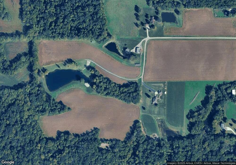
Map
Nearby Homes
- 17902 Red Shale Hill Rd
- 3858 Sunset Dr
- 13694 Egg Ranch Rd
- 1920-1922 Mayflower Dr
- 1960-1962 Mayflower Dr
- 105 Royal Point Ct
- 107 Lost Creek Ct
- 116 Lost Creek Ct
- 0 Furrow Rd
- 1922 Highwood Ave
- 1824 Valencia Place
- 1900 Saint Clair Dr
- 1416 Vista Grande Dr
- 1733 Saint Clair Dr
- 2105 Alameda Dr
- 1604 El Camino Dr
- 205 2nd St
- 1515 Norwood Ave
- 309 First
- 16 Point Ct E
- 12211 Mennonite Church Rd
- 12201 Mennonite Church Rd
- 12233 Mennonite Church Rd
- 12281 Mennonite Church Rd
- 12121 Mennonite Church Rd
- 12301 Mennonite Church Rd
- 18724 Red Shale Hill Rd
- 12109 Mennonite Church Rd
- 18632 Red Shale Hill Rd
- 18552 Red Shale Hill Rd
- 18918 Red Shale Hill Rd
- 12130 Mennonite Church Rd
- Lot Mennonite Church
- 18442 Red Shale Hill Rd
- 12455 Mennonite Church Rd
- 18735 Red Shale Hill Rd
- 17980 Red Shale Hill Rd
- 18066 Red Shale Hill Rd
- 19114 Red Shale Hill Rd
- 12504 Mennonite Church Rd