12205 S Maple Grove Rd Molalla, OR 97038
Estimated Value: $715,000 - $928,680
--
Bed
--
Bath
2,286
Sq Ft
$353/Sq Ft
Est. Value
About This Home
This home is located at 12205 S Maple Grove Rd, Molalla, OR 97038 and is currently estimated at $806,170, approximately $352 per square foot. 12205 S Maple Grove Rd is a home located in Clackamas County with nearby schools including Scotts Mills Elementary School and Silverton High School.
Ownership History
Date
Name
Owned For
Owner Type
Purchase Details
Closed on
Dec 5, 2017
Sold by
Layman Lester L and Layman Judy
Bought by
Johnson Joshua D and Johnson Cecelia C
Current Estimated Value
Home Financials for this Owner
Home Financials are based on the most recent Mortgage that was taken out on this home.
Original Mortgage
$375,000
Outstanding Balance
$314,398
Interest Rate
3.87%
Mortgage Type
Adjustable Rate Mortgage/ARM
Estimated Equity
$491,772
Create a Home Valuation Report for This Property
The Home Valuation Report is an in-depth analysis detailing your home's value as well as a comparison with similar homes in the area
Home Values in the Area
Average Home Value in this Area
Purchase History
| Date | Buyer | Sale Price | Title Company |
|---|---|---|---|
| Johnson Joshua D | $475,000 | First American Title |
Source: Public Records
Mortgage History
| Date | Status | Borrower | Loan Amount |
|---|---|---|---|
| Open | Johnson Joshua D | $375,000 |
Source: Public Records
Tax History Compared to Growth
Tax History
| Year | Tax Paid | Tax Assessment Tax Assessment Total Assessment is a certain percentage of the fair market value that is determined by local assessors to be the total taxable value of land and additions on the property. | Land | Improvement |
|---|---|---|---|---|
| 2025 | $4,344 | $332,564 | -- | -- |
| 2024 | $4,263 | $322,999 | -- | -- |
| 2023 | $4,263 | $313,731 | $0 | $0 |
| 2022 | $4,022 | $304,691 | $0 | $0 |
| 2021 | $3,861 | $295,932 | $0 | $0 |
| 2020 | $3,766 | $287,417 | $0 | $0 |
| 2019 | $3,662 | $279,169 | $0 | $0 |
| 2018 | $3,561 | $271,180 | $0 | $0 |
| 2017 | $3,488 | $263,384 | $0 | $0 |
| 2016 | $6,046 | $255,835 | $0 | $0 |
| 2015 | $2,815 | $213,995 | $0 | $0 |
| 2014 | $2,629 | $201,061 | $0 | $0 |
Source: Public Records
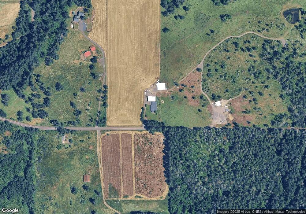
Map
Nearby Homes
- 0 Address Undisclosed NE Unit 834166
- 0 Off of Crooked Finge Rd
- 000 Crooked Finger Rd NE
- Lot 1600 Crooked Finger Rd NE
- 0 Crooked Finger Rd NE Unit 827344
- 0 Crooked Finger Rd NE Unit 265826977
- 7118 Grandview Ave
- 7138 Grandview Ave
- 0 Hazelnut Ridge Rd
- 0 Peak View Unit Lots 24 & 46
- 9924 S Wildcat Rd
- 20125 Mckillop Rd
- 3647 Briar Knob Loop
- 36451 S Sawtell Rd Unit 16
- 36451 S Sawtell Rd Unit 10
- 36451 S Sawtell Rd
- 4300 Briar Knob Loop NE
- 35267 S Acer Ln
- 5632 Mac Way NE
- 0 S Wilhoit Rd
- 12290 S Maple Grove Rd
- 12141 S Maple Grove Rd
- 11923 S Maple Grove Rd
- 12542 S Maple Grove Rd
- 12650 S Maple Grove Rd
- 38589 S Blair Rd
- 12727 S Maple Grove Rd
- 12332 S Groshong Rd
- 12070 S Groshong Rd
- 12299 S Groshong Rd
- 12329 S Groshong Rd
- 12155 S Groshong Rd
- 12788 S Maple Grove Rd
- 12576 S Groshong Rd
- 12573 S Groshong Rd
- 12803 S Maple Grove Rd
- 12603 S Groshong Rd
- 12313 S Groshong Rd
- 12992 S Maple Grove Rd
- 12500 S Groshong Rd