12206 Armat Ct Laurel, MD 20708
Konterra NeighborhoodEstimated Value: $621,000 - $759,000
--
Bed
3
Baths
3,060
Sq Ft
$228/Sq Ft
Est. Value
About This Home
This home is located at 12206 Armat Ct, Laurel, MD 20708 and is currently estimated at $697,715, approximately $228 per square foot. 12206 Armat Ct is a home located in Prince George's County with nearby schools including Vansville Elementary School, Martin Luther King Jr. Middle School, and Laurel High School.
Ownership History
Date
Name
Owned For
Owner Type
Purchase Details
Closed on
Jan 24, 2005
Sold by
King Linell C
Bought by
Garcia Eduardo M
Current Estimated Value
Home Financials for this Owner
Home Financials are based on the most recent Mortgage that was taken out on this home.
Original Mortgage
$392,000
Outstanding Balance
$197,653
Interest Rate
5.73%
Mortgage Type
New Conventional
Estimated Equity
$500,062
Purchase Details
Closed on
Sep 24, 1997
Sold by
Centex Real Estate Corp
Bought by
King Linell C and Nanco Alethia N
Create a Home Valuation Report for This Property
The Home Valuation Report is an in-depth analysis detailing your home's value as well as a comparison with similar homes in the area
Home Values in the Area
Average Home Value in this Area
Purchase History
| Date | Buyer | Sale Price | Title Company |
|---|---|---|---|
| Garcia Eduardo M | $490,000 | -- | |
| King Linell C | $235,000 | -- |
Source: Public Records
Mortgage History
| Date | Status | Borrower | Loan Amount |
|---|---|---|---|
| Open | Garcia Eduardo M | $392,000 |
Source: Public Records
Tax History Compared to Growth
Tax History
| Year | Tax Paid | Tax Assessment Tax Assessment Total Assessment is a certain percentage of the fair market value that is determined by local assessors to be the total taxable value of land and additions on the property. | Land | Improvement |
|---|---|---|---|---|
| 2025 | $8,852 | $609,700 | $142,300 | $467,400 |
| 2024 | $8,852 | $568,833 | $0 | $0 |
| 2023 | $5,871 | $527,967 | $0 | $0 |
| 2022 | $7,636 | $487,100 | $102,300 | $384,800 |
| 2021 | $7,051 | $447,733 | $0 | $0 |
| 2020 | $6,466 | $408,367 | $0 | $0 |
| 2019 | $5,881 | $369,000 | $101,100 | $267,900 |
| 2018 | $6,478 | $369,000 | $101,100 | $267,900 |
| 2017 | $6,478 | $369,000 | $0 | $0 |
| 2016 | -- | $373,800 | $0 | $0 |
| 2015 | $5,931 | $365,367 | $0 | $0 |
| 2014 | $5,931 | $356,933 | $0 | $0 |
Source: Public Records
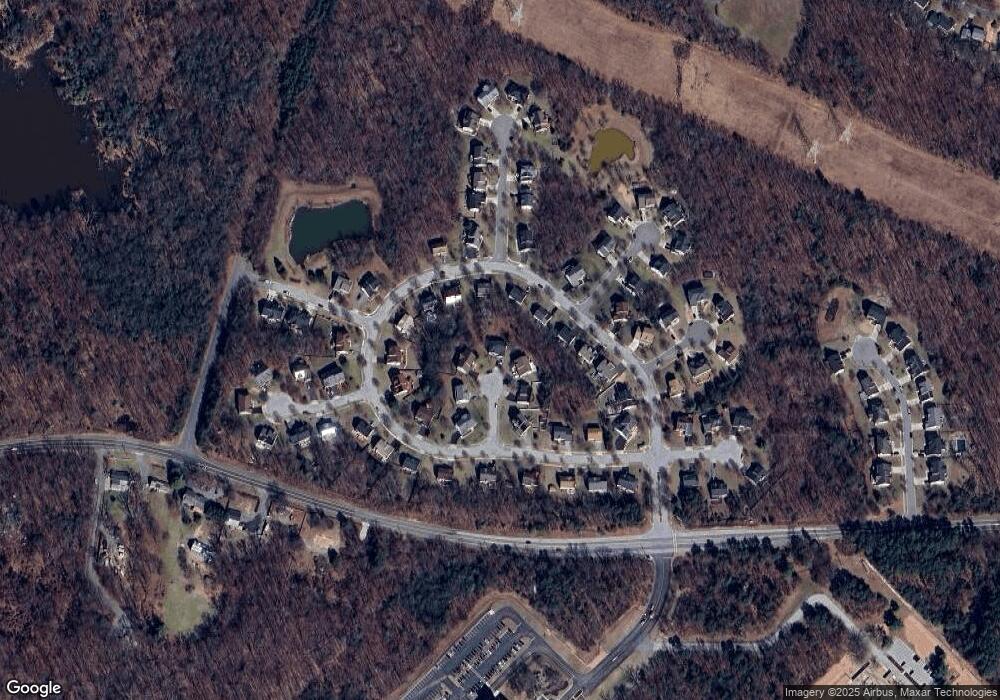
Map
Nearby Homes
- 12204 Highlander Ct
- 12608 Carland Place
- 11905 Ellington Dr
- 8493 Snowden Oaks Place
- 8806 Admiral Dr
- 12201 Mount Pleasant Dr
- 8424 Oak Stream Dr
- 7709 Loughborough Place
- 0 Larchdale Rd Unit MDPG2054450
- 13100 Golden Oak Dr
- 12210 Valerie Ln
- 12900 Claxton Dr
- 8908 Eastbourne Ln
- 9204 Oregold Ct
- 10644 Gross Ln
- 12710 Rustic Rock Ln
- 12306 Shadetree Ln
- 12503 Rustic Rock Ln
- 7205 Barrberry Ln
- 7202 Silver Thorn Way
- 12204 Armat Ct
- 12205 Armat Ct
- 12204 Snowden Woods Rd
- 12206 Snowden Woods Rd
- 12202 Snowden Woods Rd
- 12208 Snowden Woods Rd
- 12202 Armat Ct
- 12203 Armat Ct
- 12200 Snowden Woods Rd
- 12210 Snowden Woods Rd
- 12212 Snowden Woods Rd
- 12108 Snowden Woods Rd
- 12400 Snowden Woods Rd
- 12306 Snowden Woods Rd
- 12300 Snowden Woods Rd
- 12302 Snowden Woods Rd
- 12304 Snowden Woods Rd
- 12207 Snowden Woods Rd
- 12201 Snowden Woods Rd
- 12209 Snowden Woods Rd