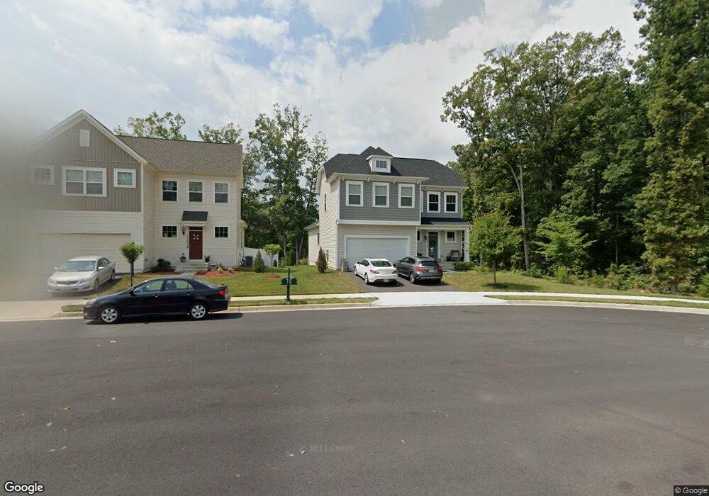
12207 Aster Rd Bristow, VA 20136
Estimated Value: $712,072 - $758,000
3
Beds
4
Baths
1,802
Sq Ft
$408/Sq Ft
Est. Value
About This Home
This home is located at 12207 Aster Rd, Bristow, VA 20136 and is currently estimated at $736,018, approximately $408 per square foot. 12207 Aster Rd is a home located in Prince William County with nearby schools including The Nokesville School, Brentsville District High School, and Linton Hall School.
Ownership History
Date
Name
Owned For
Owner Type
Purchase Details
Closed on
May 13, 2025
Sold by
Matthews Michael Vincent
Bought by
Matthews Michael Vincent and Matthews Linda
Current Estimated Value
Purchase Details
Closed on
Jan 22, 2019
Sold by
Brookfield Vint Hill Llc
Bought by
Matthews Michael Vincent
Home Financials for this Owner
Home Financials are based on the most recent Mortgage that was taken out on this home.
Original Mortgage
$507,260
Interest Rate
4.6%
Mortgage Type
New Conventional
Create a Home Valuation Report for This Property
The Home Valuation Report is an in-depth analysis detailing your home's value as well as a comparison with similar homes in the area
Home Values in the Area
Average Home Value in this Area
Purchase History
| Date | Buyer | Sale Price | Title Company |
|---|---|---|---|
| Matthews Michael Vincent | -- | None Listed On Document | |
| Matthews Michael Vincent | $553,929 | Premier Title Inc |
Source: Public Records
Mortgage History
| Date | Status | Borrower | Loan Amount |
|---|---|---|---|
| Previous Owner | Matthews Michael Vincent | $507,260 |
Source: Public Records
Tax History
| Year | Tax Paid | Tax Assessment Tax Assessment Total Assessment is a certain percentage of the fair market value that is determined by local assessors to be the total taxable value of land and additions on the property. | Land | Improvement |
|---|---|---|---|---|
| 2025 | $6,364 | $652,100 | $188,200 | $463,900 |
| 2024 | $6,364 | $639,900 | $185,500 | $454,400 |
| 2023 | $6,454 | $620,300 | $183,400 | $436,900 |
| 2022 | $6,157 | $545,600 | $160,200 | $385,400 |
| 2021 | $6,025 | $494,000 | $145,100 | $348,900 |
| 2020 | $7,259 | $468,300 | $142,900 | $325,400 |
| 2019 | $7,023 | $453,100 | $142,400 | $310,700 |
| 2018 | $686 | $56,800 | $56,800 | $0 |
Source: Public Records
Map
Nearby Homes
- 12203 Aster Rd
- 12172 Aster Rd
- 10351 Spring Iris Dr
- 12217 Wheat Mill Loop
- 12458 Hadrians Ct
- 12511 Heykens Ln
- 12360 Corncrib Ct
- 12151 Drum Salute Place
- 12149 Drum Salute Place
- 10582 Poagues Battery Dr
- 10410 Kettle Run Rd
- 10615 Bristow Station Dr
- 11701 Town Green Rd
- 11650 Iron Brigade Unit Ave
- 12017 Youngtree Ct
- 11747 Alexander Hays Rd
- 9822 Maitland Loop
- 9778 Maitland Loop
- 9856 Maitland Loop
- 11712 Robert e Lee Dr
- 12199 Aster Rd
- 12195 Aster Rd
- 12208 Aster Rd
- 12204 Aster Rd
- 12191 Aster Rd
- 12194 Aster Rd
- 12190 Aster Rd
- 12187 Aster Rd
- 12213 Fitzgerald Way
- 12183 Aster Rd Unit BASEMENT RENTAL
- 12183 Aster Rd
- 10420 Golden Aster Ct
- 10424 Golden Aster Ct
- 10416 Golden Aster Ct
- 12191 Aster Haven Cir
- 12179 Aster Rd
- 10412 Golden Aster Ct
- 10408 Golden Aster Ct
- 10427 Golden Aster Ct
- 12175 Aster Rd
Your Personal Tour Guide
Ask me questions while you tour the home.