12207 Snode St NE Alliance, OH 44601
Estimated Value: $371,000 - $518,000
4
Beds
3
Baths
2,292
Sq Ft
$185/Sq Ft
Est. Value
About This Home
This home is located at 12207 Snode St NE, Alliance, OH 44601 and is currently estimated at $423,507, approximately $184 per square foot. 12207 Snode St NE is a home located in Stark County with nearby schools including Marlington High School.
Ownership History
Date
Name
Owned For
Owner Type
Purchase Details
Closed on
Jan 9, 2015
Sold by
Mccourt Debbie L and Hall Debbie L
Bought by
Mccourt Wesley D and Mccourt Debbie L
Current Estimated Value
Purchase Details
Closed on
Nov 4, 2002
Sold by
Mann David P and Mann Jean A
Bought by
Mccourt Wesley D and Hall Debbie L
Home Financials for this Owner
Home Financials are based on the most recent Mortgage that was taken out on this home.
Original Mortgage
$152,000
Outstanding Balance
$64,415
Interest Rate
6.18%
Mortgage Type
Purchase Money Mortgage
Estimated Equity
$359,092
Create a Home Valuation Report for This Property
The Home Valuation Report is an in-depth analysis detailing your home's value as well as a comparison with similar homes in the area
Home Values in the Area
Average Home Value in this Area
Purchase History
| Date | Buyer | Sale Price | Title Company |
|---|---|---|---|
| Mccourt Wesley D | -- | None Available | |
| Mccourt Wesley D | $190,000 | -- |
Source: Public Records
Mortgage History
| Date | Status | Borrower | Loan Amount |
|---|---|---|---|
| Open | Mccourt Wesley D | $152,000 |
Source: Public Records
Tax History Compared to Growth
Tax History
| Year | Tax Paid | Tax Assessment Tax Assessment Total Assessment is a certain percentage of the fair market value that is determined by local assessors to be the total taxable value of land and additions on the property. | Land | Improvement |
|---|---|---|---|---|
| 2025 | -- | $126,280 | $36,190 | $90,090 |
| 2024 | -- | $126,280 | $36,190 | $90,090 |
| 2023 | $3,504 | $107,280 | $32,240 | $75,040 |
| 2022 | $3,532 | $107,280 | $32,240 | $75,040 |
| 2021 | $3,543 | $107,280 | $32,240 | $75,040 |
| 2020 | $3,433 | $93,980 | $32,240 | $61,740 |
| 2019 | $3,411 | $94,000 | $32,240 | $61,760 |
| 2018 | $3,417 | $94,000 | $32,240 | $61,760 |
| 2017 | $3,276 | $85,250 | $21,080 | $64,170 |
| 2016 | $3,486 | $90,120 | $21,080 | $69,040 |
| 2015 | $3,326 | $90,120 | $21,080 | $69,040 |
| 2014 | $1,379 | $84,270 | $18,100 | $66,170 |
| 2013 | $1,681 | $84,270 | $18,100 | $66,170 |
Source: Public Records
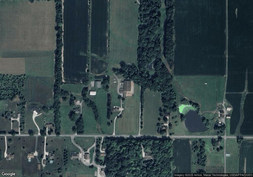
Map
Nearby Homes
- 12252 Snode St NE
- 12415 Snode St NE
- 12355 Edison St NE
- 11940 Freshley Ave NE
- 13109 Edison St NE
- 11480 Aebi Ave NE
- 13975 Greenbower St NE
- 10666 Wilma Ave NE
- 0 Meadow St NE
- 13334 Cindy St NE
- 13061 Beeson St NE
- German Church Street North E Unit LotWP001
- 14422 Sturbridge Rd NE
- 0 Klinger Ave NE
- 14350 Reeder Ave NE
- 0 Johnson Ave NE Unit 5142926
- 0 Homestead Ave NE
- 14723 Bolton St NE
- 000 Klinger Ave
- 0 Meadowbrook Ave
- 12099 Snode St NE
- 12291 Snode St NE
- 12170 Snode St NE
- 12021 Snode St NE
- 12045 Snode St NE
- 12240 Snode St NE
- 12036 Snode St NE
- 12410 Snode St NE
- 12239 Snode St NE
- 12018 Snode St NE
- 11963 Snode St NE
- 11956 Snode St NE
- 11877 Snode St NE
- 12444 Snode St NE
- 12541 Snode St NE
- 12650 Mccallum Ave NE
- 12544 Snode St NE
- 11849 Snode St NE
- 12440 Mccallum Ave NE
- 0 Snode St NE Unit 5054074