Estimated Value: $26,000 - $104,000
3
Beds
1
Bath
967
Sq Ft
$70/Sq Ft
Est. Value
About This Home
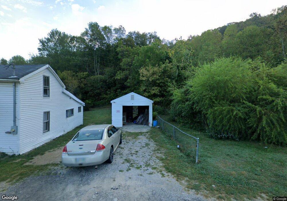
This home is located at 12209 State Route 348, Otway, OH 45657 and is currently estimated at $67,561, approximately $69 per square foot. 12209 State Route 348 is a home located in Adams County with nearby schools including West Union Elementary School and West Union High School.
Ownership History
Date
Name
Owned For
Owner Type
Purchase Details
Closed on
Apr 8, 2020
Sold by
Emery Donald A
Bought by
Boldman Johnny L and Boldman Carolyn M
Current Estimated Value
Home Financials for this Owner
Home Financials are based on the most recent Mortgage that was taken out on this home.
Original Mortgage
$8,000
Outstanding Balance
$7,087
Interest Rate
3.4%
Mortgage Type
Future Advance Clause Open End Mortgage
Estimated Equity
$60,474
Purchase Details
Closed on
Jun 23, 1998
Sold by
Tracy Flossie
Bought by
Emery Donald A
Purchase Details
Closed on
Jan 1, 1990
Bought by
Tracy Flossie
Create a Home Valuation Report for This Property
The Home Valuation Report is an in-depth analysis detailing your home's value as well as a comparison with similar homes in the area
Home Values in the Area
Average Home Value in this Area
Purchase History
| Date | Buyer | Sale Price | Title Company |
|---|---|---|---|
| Boldman Johnny L | $10,000 | None Available | |
| Emery Donald A | $30,000 | -- | |
| Tracy Flossie | -- | -- |
Source: Public Records
Mortgage History
| Date | Status | Borrower | Loan Amount |
|---|---|---|---|
| Open | Boldman Johnny L | $8,000 |
Source: Public Records
Tax History Compared to Growth
Tax History
| Year | Tax Paid | Tax Assessment Tax Assessment Total Assessment is a certain percentage of the fair market value that is determined by local assessors to be the total taxable value of land and additions on the property. | Land | Improvement |
|---|---|---|---|---|
| 2024 | $184 | $9,910 | $1,120 | $8,790 |
| 2023 | $185 | $9,910 | $1,120 | $8,790 |
| 2022 | $367 | $8,470 | $770 | $7,700 |
| 2021 | $339 | $8,470 | $770 | $7,700 |
| 2020 | $346 | $8,470 | $770 | $7,700 |
| 2019 | $355 | $8,470 | $770 | $7,700 |
| 2018 | $298 | $7,180 | $770 | $6,410 |
| 2017 | $294 | $7,180 | $770 | $6,410 |
| 2016 | $289 | $7,180 | $770 | $6,410 |
| 2015 | $278 | $7,110 | $770 | $6,340 |
| 2014 | $278 | $7,110 | $770 | $6,340 |
Source: Public Records
Map
Nearby Homes
- 12808 Ohio 348
- 4345 Mt Unger Rd
- 12808 Ohio 348
- 0 St Rt 348 Unit 1855893
- 0 Golley Rd
- 2472 Rocky Fork Rd
- 0 Oppy Hill Rd
- Oppy Hill Rd Lot Unit Wp001
- 7851 Ohio 348
- 0 Beech Fork Rd Unit 5157055
- 0 Beech Fork Rd Unit 225044315
- Ohio 348
- 9 Coon Hollow Rd
- acres Coon Hollow Rd
- 0 Blue Creek Rd
- 0 Coon Hollow Rd Unit 947967
- 2603 Cassel Run Rd
- 2314 White Oak Rd
- 230 Newman Aly
- 5740 St Rt 781
- 12235 Ohio 348
- 12179 State Route 348
- 12235 State Route 348
- 12179 State Route 348
- 12161 State Route 348
- 12139 State Route 348
- 12125 State Route 348
- 7225 Mount Unger Rd
- 348 Sr 348
- 12100 State Route 348
- 12095 State Route 348
- 12092 State Route 348
- 12067 State Route 348
- 12068 State Route 348
- 12051 State Route 348
- 12115 State Route 348
- 37 Delong Rd
- 49 Delong Rd
- 12029 Ohio 348
- 12029 State Route 348