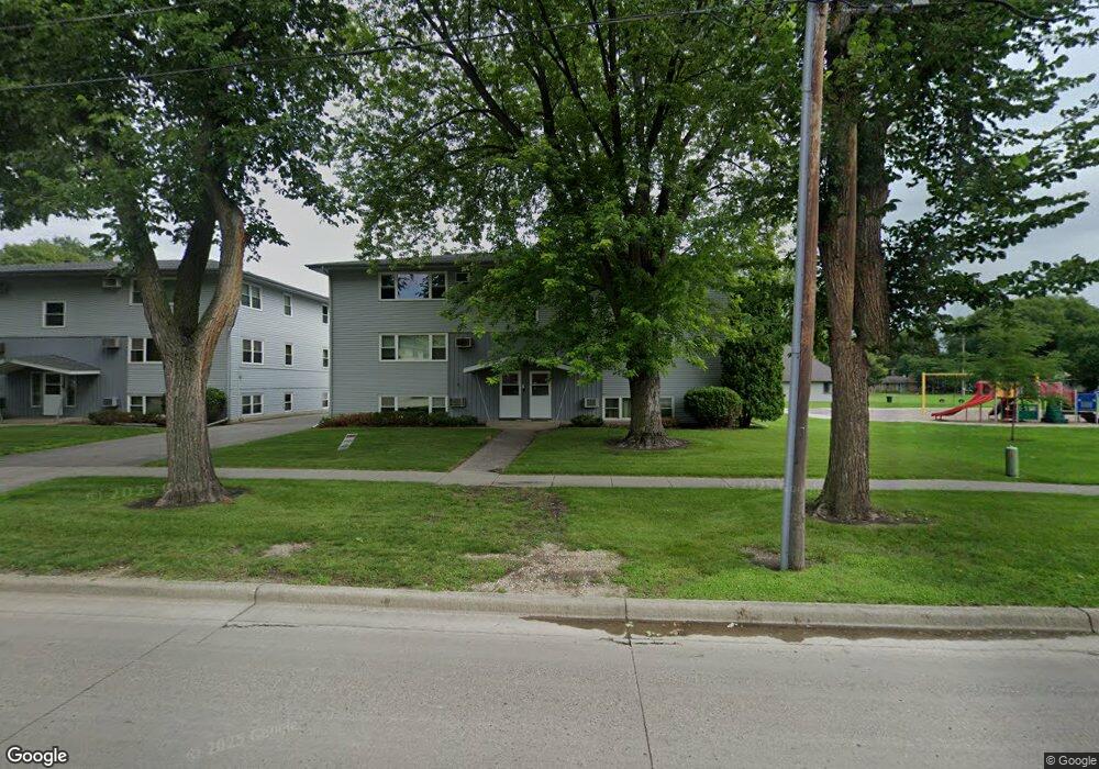
1221 10th St N Unit 22 Fargo, ND 58102
Roosevelt NeighborhoodEstimated Value: $80,000 - $108,000
2
Beds
1
Bath
878
Sq Ft
$102/Sq Ft
Est. Value
About This Home
This home is located at 1221 10th St N Unit 22, Fargo, ND 58102 and is currently estimated at $89,179, approximately $101 per square foot. 1221 10th St N Unit 22 is a home located in Cass County with nearby schools including Horace Mann Roosevelt Elementary School, Ben Franklin Middle School, and North High School.
Ownership History
Date
Name
Owned For
Owner Type
Purchase Details
Closed on
Mar 7, 2023
Sold by
Lura Dale and Lura Cynthia
Bought by
Lura Cynthia and Chad Kartenson Supplemental Needs Trust
Current Estimated Value
Purchase Details
Closed on
Aug 23, 2019
Sold by
Carlson Jonathan
Bought by
Lura Dale and Lura Cynthia
Purchase Details
Closed on
Apr 28, 2010
Sold by
First International Bank And Trust
Bought by
Carlson Jonathan
Create a Home Valuation Report for This Property
The Home Valuation Report is an in-depth analysis detailing your home's value as well as a comparison with similar homes in the area
Home Values in the Area
Average Home Value in this Area
Purchase History
| Date | Buyer | Sale Price | Title Company |
|---|---|---|---|
| Lura Cynthia | -- | None Listed On Document | |
| Lura Dale | $52,000 | Title Co | |
| Carlson Jonathan | -- | -- |
Source: Public Records
Tax History Compared to Growth
Tax History
| Year | Tax Paid | Tax Assessment Tax Assessment Total Assessment is a certain percentage of the fair market value that is determined by local assessors to be the total taxable value of land and additions on the property. | Land | Improvement |
|---|---|---|---|---|
| 2024 | $1,209 | $39,350 | $5,300 | $34,050 |
| 2023 | $1,164 | $37,850 | $5,300 | $32,550 |
| 2022 | $1,094 | $34,400 | $5,300 | $29,100 |
| 2021 | $1,077 | $34,400 | $5,300 | $29,100 |
| 2020 | $1,077 | $34,400 | $5,300 | $29,100 |
| 2019 | $1,183 | $38,850 | $2,850 | $36,000 |
| 2018 | $1,170 | $38,850 | $2,850 | $36,000 |
| 2017 | $1,111 | $37,000 | $2,850 | $34,150 |
| 2016 | $939 | $33,650 | $2,850 | $30,800 |
| 2015 | $1,071 | $36,800 | $1,950 | $34,850 |
| 2014 | $791 | $25,050 | $1,950 | $23,100 |
| 2013 | $787 | $25,050 | $1,950 | $23,100 |
Source: Public Records
Map
Nearby Homes
- 1261 10th St N
- 1316 8th St N
- 1109 10th St N
- 1346 9th St N
- 1329 12th St N
- 1119 9th St N
- 1115 9th St N
- 917 14th Ave N
- 1357 12th St N
- 802 11th Ave N
- 1111 7th St N
- 722 11th Ave N
- 1036 12th St N
- 1011 10th Ave N
- 1119 Broadway N
- 1015 12th St N
- 1012 12th St N
- 703 & 705 10th Ave N
- 1026 University Dr N
- 1125 5th St N
- 1221 10th St N Unit 6
- 1221 10th St N Unit 2
- 1221 10th St N Unit 5
- 1221 10th St N Unit 4
- 1221 10th St N Unit 3
- 1221 10th St N Unit 1
- 1221 10th St N Unit 102
- 1221 10th St N
- 1225 10th St N Unit 5
- 1225 10th St N Unit 3
- 1225 10th St N Unit 1
- 1225 10th St N Unit 6
- 1225 10th St N Unit 4
- 1225 10th St N Unit 2
- 1225 10th St N
- 1231 10th St N
- 1231 10th St N
- 1253 10th St N
- 1240 9th St N
- 1238 9th St N