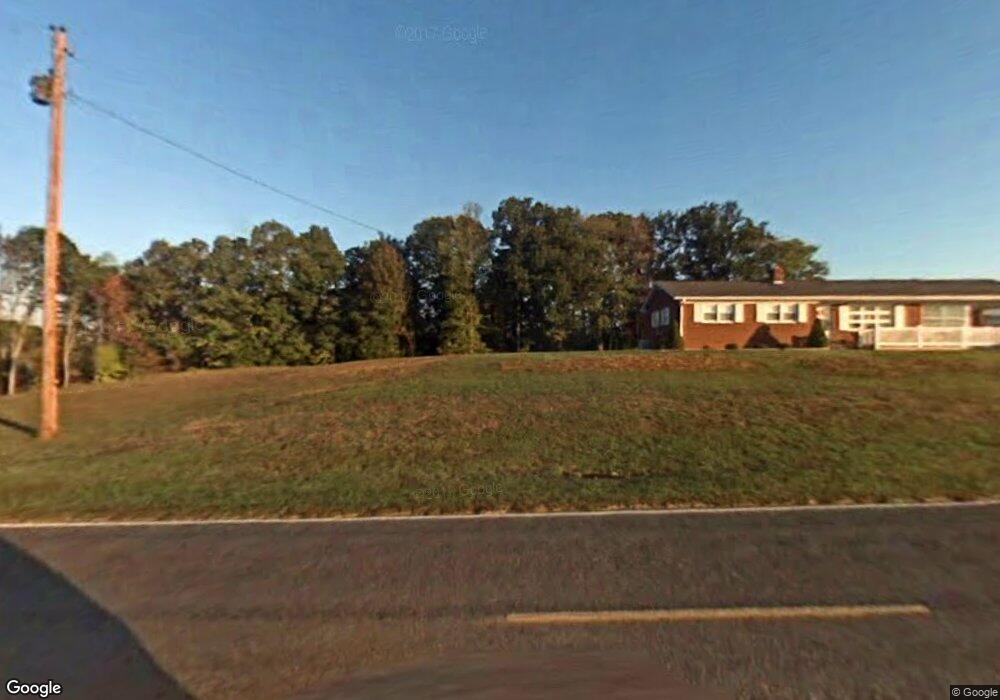
1221 Black Mountain Rd Pilot Mountain, NC 27041
Estimated Value: $343,000 - $393,000
3
Beds
2
Baths
1,632
Sq Ft
$220/Sq Ft
Est. Value
About This Home
This home is located at 1221 Black Mountain Rd, Pilot Mountain, NC 27041 and is currently estimated at $359,065, approximately $220 per square foot. 1221 Black Mountain Rd is a home located in Surry County with nearby schools including Pilot Mountain Elementary School, Pilot Mountain Middle School, and East Surry High School.
Ownership History
Date
Name
Owned For
Owner Type
Purchase Details
Closed on
Aug 19, 2020
Sold by
Thomas Michael S and Thomas Elizabeth L
Bought by
Mcgee Tina C
Current Estimated Value
Home Financials for this Owner
Home Financials are based on the most recent Mortgage that was taken out on this home.
Original Mortgage
$164,350
Outstanding Balance
$145,462
Interest Rate
3%
Mortgage Type
New Conventional
Estimated Equity
$213,603
Purchase Details
Closed on
Mar 16, 2011
Sold by
Mckenzie John C
Bought by
Thomas Michael S and Thomas Elizabeth L
Home Financials for this Owner
Home Financials are based on the most recent Mortgage that was taken out on this home.
Original Mortgage
$189,000
Interest Rate
4.75%
Mortgage Type
Assumption
Purchase Details
Closed on
Oct 15, 2008
Sold by
Mckenzie Martin Jessup
Bought by
Mckenzie John Culberson
Create a Home Valuation Report for This Property
The Home Valuation Report is an in-depth analysis detailing your home's value as well as a comparison with similar homes in the area
Home Values in the Area
Average Home Value in this Area
Purchase History
| Date | Buyer | Sale Price | Title Company |
|---|---|---|---|
| Mcgee Tina C | $173,000 | None Available | |
| Thomas Michael S | $189,000 | None Available | |
| Mckenzie John Culberson | -- | Chicago Title Insurance Comp |
Source: Public Records
Mortgage History
| Date | Status | Borrower | Loan Amount |
|---|---|---|---|
| Open | Mcgee Tina C | $164,350 | |
| Previous Owner | Thomas Michael S | $189,000 |
Source: Public Records
Tax History Compared to Growth
Tax History
| Year | Tax Paid | Tax Assessment Tax Assessment Total Assessment is a certain percentage of the fair market value that is determined by local assessors to be the total taxable value of land and additions on the property. | Land | Improvement |
|---|---|---|---|---|
| 2025 | $1,359 | $243,400 | $53,050 | $190,350 |
| 2024 | $1,205 | $196,140 | $54,730 | $141,410 |
| 2023 | $1,184 | $196,140 | $54,730 | $141,410 |
| 2022 | $1,184 | $196,140 | $54,730 | $141,410 |
| 2021 | $1,205 | $196,140 | $54,730 | $141,410 |
| 2020 | $1,202 | $185,960 | $50,520 | $135,440 |
| 2019 | $1,199 | $185,960 | $0 | $0 |
| 2018 | $1,177 | $185,960 | $0 | $0 |
| 2017 | $1,196 | $185,960 | $0 | $0 |
| 2016 | $1,196 | $185,960 | $0 | $0 |
| 2013 | -- | $189,070 | $0 | $0 |
Source: Public Records
Map
Nearby Homes
- 222 Hummingbird Ln
- 00 Golf Course Rd
- 1015 Patterson Farm Rd
- TBD Golf Course Rd
- 0 S Key St
- TBD S Key St
- 0 Heatherly Creek Dr
- 204 Nelson St
- 502 S Key St
- 522 Butler St
- o N Carolina 268
- 528 E Main St
- 225 E Main St
- 00 Whitaker Chapel Rd Unit 2
- 00 Whitaker Chapel Rd Unit 1
- 00 Whitaker Chapel Rd Unit 10
- 205 S Key St
- 267 S Boyles St
- 261 S Boyles St
- 402 Lynchburg Rd
- 1203 Black Mountain Rd
- 1110 Black Mountain Rd
- 1289 Black Mountain Rd
- 1085 Black Mountain Rd
- 10 Black Point Ln
- 1322 Black Mountain Rd
- 179 Freedle Ln
- 150 Black Point Ln
- 0 Lester Trail
- 000 Black Mountain Rd
- 201 Lester Trail
- 1043 Black Mountain Rd
- 182 Black Point Ln
- 1339 Black Mountain Rd
- xx 16.35 Acres Black Point Ln
- 00 Black Point Ln
- 1092 Black Mountain Rd
- 1038 Black Mountain Rd
- 1096 Black Mountain Rd
- 997 Black Mountain Rd