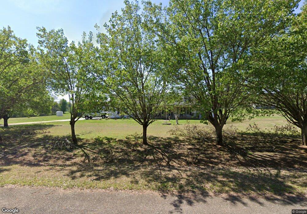
1221 Carey Rd Danielsville, GA 30633
Estimated Value: $347,815 - $408,000
--
Bed
2
Baths
1,776
Sq Ft
$214/Sq Ft
Est. Value
About This Home
This home is located at 1221 Carey Rd, Danielsville, GA 30633 and is currently estimated at $379,204, approximately $213 per square foot. 1221 Carey Rd is a home located in Madison County with nearby schools including Madison County High School.
Ownership History
Date
Name
Owned For
Owner Type
Purchase Details
Closed on
Mar 8, 2007
Sold by
Fortson Henrietta M
Bought by
Fortson John Michael
Current Estimated Value
Purchase Details
Closed on
May 29, 1998
Sold by
Fortson John Michael
Bought by
Fortson John Michael
Create a Home Valuation Report for This Property
The Home Valuation Report is an in-depth analysis detailing your home's value as well as a comparison with similar homes in the area
Home Values in the Area
Average Home Value in this Area
Purchase History
| Date | Buyer | Sale Price | Title Company |
|---|---|---|---|
| Fortson John Michael | -- | -- | |
| Fortson John Michael | -- | -- |
Source: Public Records
Tax History Compared to Growth
Tax History
| Year | Tax Paid | Tax Assessment Tax Assessment Total Assessment is a certain percentage of the fair market value that is determined by local assessors to be the total taxable value of land and additions on the property. | Land | Improvement |
|---|---|---|---|---|
| 2024 | $2,209 | $102,875 | $13,229 | $89,646 |
| 2023 | $2,898 | $94,928 | $11,024 | $83,904 |
| 2022 | $1,980 | $81,774 | $7,579 | $74,195 |
| 2021 | $1,672 | $64,761 | $7,579 | $57,182 |
| 2020 | $1,649 | $63,659 | $6,477 | $57,182 |
| 2019 | $1,632 | $62,474 | $6,477 | $55,997 |
| 2018 | $1,581 | $60,686 | $5,926 | $54,760 |
| 2017 | $1,667 | $57,900 | $5,512 | $52,388 |
| 2016 | $1,379 | $50,037 | $4,560 | $45,477 |
| 2015 | $1,379 | $50,037 | $4,560 | $45,477 |
| 2014 | $1,436 | $51,690 | $5,076 | $46,614 |
| 2013 | -- | $51,690 | $5,076 | $46,614 |
Source: Public Records
Map
Nearby Homes
- 266 Water Oak Rd
- 00 Georgia 174 Unit 1
- 0 Carey-Ford Rd
- 0 Carey Ford Rd Unit 10495957
- 0 Kirk Langford Rd Unit 7671084
- 0 Kirk Langford Rd Unit 10630817
- 1344 Jim Grizzle Rd
- 352 Jim Grizzle Rd
- 318 Jim Grizzle Rd
- 795 E Jones Chapel Rd
- 1112 Reno Rd
- 0 Georgia 174 Unit 10530772
- 590 Langford Carey Rd
- 450 Stagecoach Way
- 955 Collins Dudley Rd
- 0 Dickson Dr Unit 416392
- 0 Dickson Dr Unit 7594620
- 0 Dickson Dr Unit 23800701
- 0 Dickson Dr Unit 10539867
- 222 Reno Rd
- 1291 Carey Rd
- 1971 Jones Chapel Shiloh Rd
- 2024 Jones Chapel Shiloh Rd
- 2135 Jones Chapel Shiloh Rd
- 1621 Jones Chapel Shiloh Rd
- 2139 Jones Chapel Shiloh Rd
- 1629 Jones Chapel Shiloh Rd
- 4220 Highway 174
- 4004 Highway 174
- 1547 Jones Chapel Shiloh Rd
- 1551 Jones Chapel Shiloh Rd
- 3952 Highway 174
- 4075 Highway 174
- 4075 Georgia 174
- 1543 Jones Chapel Shiloh Rd
- 1129 Carey Rd
- 4446 Georgia 174
- 1842 Jones Chapel Shiloh Rd
- 4446 Highway 174
- 301 Water Oak Rd