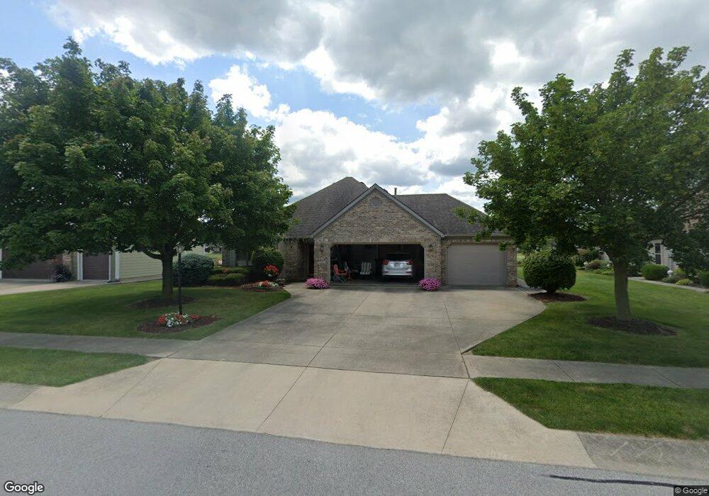
1221 Cross Pointe Decatur, IN 46733
Estimated Value: $236,000 - $254,000
2
Beds
2
Baths
1,448
Sq Ft
$170/Sq Ft
Est. Value
About This Home
This home is located at 1221 Cross Pointe, Decatur, IN 46733 and is currently estimated at $246,300, approximately $170 per square foot. 1221 Cross Pointe is a home located in Adams County with nearby schools including Southeast Elementary School, Bellmont Elementary School, and Bellmont Middle School.
Ownership History
Date
Name
Owned For
Owner Type
Purchase Details
Closed on
Apr 28, 2006
Sold by
Estate Of Barbara J Schwartzokpf
Bought by
Milholland Max D and Milholland Jill S
Current Estimated Value
Home Financials for this Owner
Home Financials are based on the most recent Mortgage that was taken out on this home.
Original Mortgage
$110,000
Outstanding Balance
$63,598
Interest Rate
6.37%
Mortgage Type
New Conventional
Estimated Equity
$182,702
Create a Home Valuation Report for This Property
The Home Valuation Report is an in-depth analysis detailing your home's value as well as a comparison with similar homes in the area
Home Values in the Area
Average Home Value in this Area
Purchase History
| Date | Buyer | Sale Price | Title Company |
|---|---|---|---|
| Milholland Max D | -- | -- |
Source: Public Records
Mortgage History
| Date | Status | Borrower | Loan Amount |
|---|---|---|---|
| Open | Milholland Max D | $110,000 |
Source: Public Records
Tax History Compared to Growth
Tax History
| Year | Tax Paid | Tax Assessment Tax Assessment Total Assessment is a certain percentage of the fair market value that is determined by local assessors to be the total taxable value of land and additions on the property. | Land | Improvement |
|---|---|---|---|---|
| 2024 | $1,913 | $190,000 | $31,400 | $158,600 |
| 2023 | $1,774 | $176,100 | $31,400 | $144,700 |
| 2022 | $1,656 | $164,300 | $31,400 | $132,900 |
| 2021 | $1,517 | $151,700 | $30,200 | $121,500 |
| 2020 | $1,462 | $144,900 | $30,200 | $114,700 |
| 2019 | $1,395 | $139,900 | $30,200 | $109,700 |
| 2018 | $1,363 | $135,000 | $30,200 | $104,800 |
| 2017 | $1,315 | $132,300 | $30,200 | $102,100 |
| 2016 | $1,150 | $125,400 | $30,200 | $95,200 |
| 2014 | $1,039 | $125,000 | $30,200 | $94,800 |
| 2013 | $1,272 | $127,200 | $30,200 | $97,000 |
Source: Public Records
Map
Nearby Homes
- 2541 Hogans Aly
- 2530 Hogans Aly
- 1137 Southampton Dr
- 1031 Palmer's Pass
- 1310 Mix Ave
- 2591 Hogans Aly
- 2593 Hogans Aly
- 704 Washington St
- 1032 Central Ave
- 1705 W Monroe St
- 1111 N 2nd St
- 0 W US Hwy 224 Unit 202544637
- 115 N 11th St
- 507 Marshall St
- 808 N 2nd St
- 1115 Adams St
- 1024 Adams St
- 221 N 3rd St
- 110 S 4th St
- 618 Adams St
- 1227 Cross Pointe
- 1215 Cross Pointe
- 1209 Cross Pointe
- 1233 Cross Pointe
- 1222 Cross Pointe
- 1228 Cross Pointe
- 1216 Cross Pointe
- 1239 Cross Pointe
- 1234 Cross Pointe
- 1210 Cross Pointe
- 1203 Cross Pointe
- 1112 Woodridge Dr
- 1110 Woodridge Dr
- 1116 Woodridge Dr
- 1106 Woodridge Dr
- 1124 Woodridge Dr
- 1139 Cross Pointe
- 1203 Highview Ct
- 1104 Woodridge Dr
- 1130 Woodridge Dr