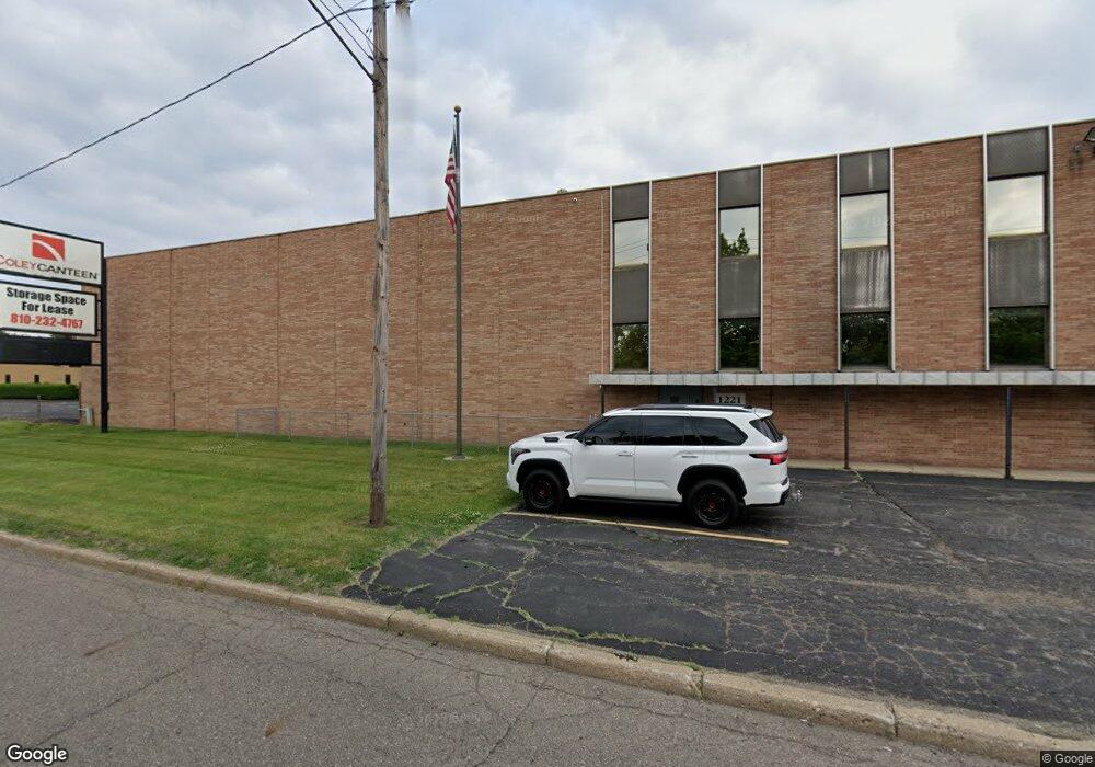
1221 James P Cole Blvd Flint, MI 48503
Downtown Flint Neighborhood
--
Bed
--
Bath
78,000
Sq Ft
3.39
Acres
About This Home
This home is located at 1221 James P Cole Blvd, Flint, MI 48503. 1221 James P Cole Blvd is a home located in Genesee County with nearby schools including Doyle/Ryder School, Flint Cultural Center Academy, and WAY Academy of Flint.
Ownership History
Date
Name
Owned For
Owner Type
Purchase Details
Closed on
Dec 12, 2011
Sold by
I B Property Holdings Llc
Bought by
Swanson Coley Llc
Purchase Details
Closed on
Sep 15, 2011
Sold by
Bayview Loan Servicing Llc
Bought by
Swanson Coley Llc
Purchase Details
Closed on
Sep 28, 2009
Sold by
Bayview Loan Servicing Llc
Bought by
Ib Property Holdings Llc
Purchase Details
Closed on
Jun 24, 2009
Sold by
Jackson Mary Ann and Jackson David D
Bought by
Bayview Loan Servicing Llc
Create a Home Valuation Report for This Property
The Home Valuation Report is an in-depth analysis detailing your home's value as well as a comparison with similar homes in the area
Home Values in the Area
Average Home Value in this Area
Purchase History
| Date | Buyer | Sale Price | Title Company |
|---|---|---|---|
| Swanson Coley Llc | -- | Thoroughbred Title Agency | |
| Swanson Coley Llc | $110,000 | None Available | |
| Ib Property Holdings Llc | -- | None Available | |
| Ib Property Holdings Llc | -- | None Available | |
| Bayview Loan Servicing Llc | $725,000 | None Available |
Source: Public Records
Tax History Compared to Growth
Tax History
| Year | Tax Paid | Tax Assessment Tax Assessment Total Assessment is a certain percentage of the fair market value that is determined by local assessors to be the total taxable value of land and additions on the property. | Land | Improvement |
|---|---|---|---|---|
| 2025 | $10,840 | $277,400 | $0 | $0 |
| 2024 | $9,805 | $269,000 | $0 | $0 |
| 2023 | $9,398 | $261,500 | $0 | $0 |
| 2022 | $0 | $245,700 | $0 | $0 |
| 2021 | $9,677 | $237,700 | $0 | $0 |
| 2020 | $8,656 | $247,900 | $0 | $0 |
| 2019 | $8,282 | $243,800 | $0 | $0 |
| 2018 | $8,803 | $154,500 | $0 | $0 |
| 2017 | $8,509 | $0 | $0 | $0 |
| 2016 | $8,434 | $0 | $0 | $0 |
| 2015 | -- | $0 | $0 | $0 |
| 2014 | -- | $0 | $0 | $0 |
| 2012 | -- | $118,800 | $0 | $0 |
Source: Public Records
Map
Nearby Homes
- 805 Columbia Dr
- 1706 Wilberforce Cir
- 1303 Root St
- 1379 Washington Ave
- 1273 Broadway Blvd
- 1016 Garland St
- 329 E Wood St
- 1215 Bennett Ave
- 620 E 2nd St
- 217 W 7th Ave
- 607 East St
- 621 Pierson St
- 1445 Kearsley Park Kearsley Park
- 235 Page St
- 903 E Court St
- 915 E Court St Unit 104
- 915 E Court St
- 416 W 2nd Ave Unit 4
- 1605 Kearsley Park Blvd
- 407 W 2nd Ave
- 1302 Columbia Cir
- 1306 Columbia Cir
- 17 Burton Estates Dr
- 813 Columbia Dr
- 16 Burton Estates Dr
- 976 E Wood St
- 820 Tulane Dr
- 831 Cornelia St
- 809 Columbia Dr
- 816 Tulane Dr
- 812 Tulane Dr
- 1506 Tulane Cir
- 1502 Tulane Cir
- 808 Tulane Dr
- 804 Tulane Dr
- 1301 Columbia Cir
- 745 Columbia Dr
- 901 F J McCree Dr
- 1305 Columbia Cir
- 1510 Tulane Cir